Property Record
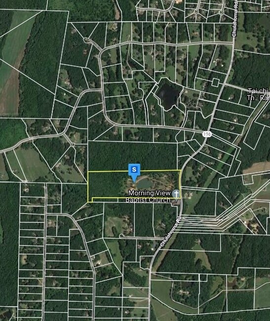
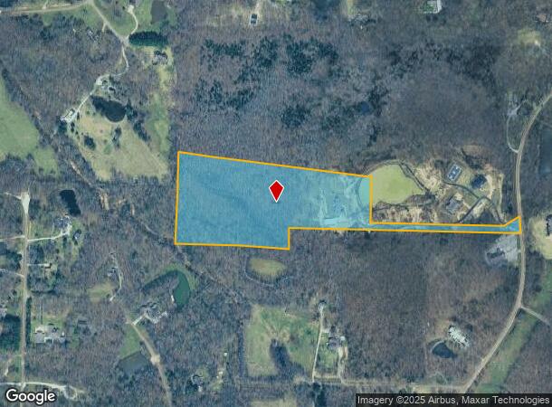
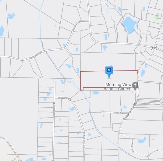
14769 Highway 196, Eads, TN 38028
NEARBY LISTINGS FOR SALE OR LEASE
Property Detail
14769 Highway 196
105-001.01
Khaled Khalif Property
Farms
DISTRICT: 07, COUNTY AREA: P50
AE
Fayette
47047C0280C
Tennessee
2024
17.77 AC
2025
Fayette County
060403
Memphis
6,667 SF
Memphis, TN-MS-AR
DEMOGRAPHICS near 14769 Highway 196
1 Mile
3 Mile
5 Mile
2024 Total Population
457
2,847
12,109
2029 Population
498
3,100
13,250
Pop Growth 2024-2029
+ 8.97%
+ 8.89%
+ 9.42%
Average Age
49
48
44
2024 Total Households
179
1,114
4,730
HH Growth 2024-2029
+ 8.38%
+ 8.62%
+ 9.26%
Median Household Inc
$127,027
$105,147
$90,092
Avg Household Size
2.50
2.50
2.50
2024 Avg HH Vehicles
3.00
3.00
2.00
Median Home Value
$425,000
$406,151
$299,449
Median Year Built
1994
1997
2000
Nearby Places
- Restaurants
- Banks
- Shops
- Fitness
- Groceries
PUBLIC TRANSPORTATION
AIRPORT
Memphis International
DRIVE
WALK
Distance
Memphis International
50 min
35.0 mi
Freight Ports
Port of Shreveport
DRIVE
WALK
Distance
Port of Shreveport
442 min
402.3 mi
Nearby Properties
Address
Land Use
TOTAL SIZE
Lot Size
Zoning
Address
Land Use
TOTAL SIZE
Lot Size
Zoning
60,234 SF
12.20 AC
Address
Land Use
TOTAL SIZE
Lot Size
Zoning
15,406 SF
9.28 AC
B-2
Address
Land Use
TOTAL SIZE
Lot Size
Zoning
29,706 SF
20.38 AC
CA
Address
Land Use
TOTAL SIZE
Lot Size
Zoning
8,268 SF
2 AC
Address
Land Use
TOTAL SIZE
Lot Size
Zoning
12,626 SF
49.32 AC
Address
Land Use
TOTAL SIZE
Lot Size
Zoning
20,100 SF
2.13 AC
B2
Address
Land Use
TOTAL SIZE
Lot Size
Zoning
18,400 SF
2.13 AC
M-1
Address
Land Use
TOTAL SIZE
Lot Size
Zoning
14,400 SF
2.30 AC
B2
Address
Land Use
TOTAL SIZE
Lot Size
Zoning
10,060 SF
2.71 AC
M-1
Address
Land Use
TOTAL SIZE
Lot Size
Zoning
8,219 SF
111.10 AC
Address
Land Use
TOTAL SIZE
Lot Size
Zoning
11,190 SF
30 AC
Address
Land Use
TOTAL SIZE
Lot Size
Zoning
163.73 AC
CA
Address
Land Use
TOTAL SIZE
Lot Size
Zoning
8,940 SF
3.42 AC
Address
Land Use
TOTAL SIZE
Lot Size
Zoning
7,705 SF
1.75 AC
B2
Address
Land Use
TOTAL SIZE
Lot Size
Zoning
15,224 SF
102.44 AC
Address
Land Use
TOTAL SIZE
Lot Size
Zoning
12,693 SF
159 AC
Address
Land Use
TOTAL SIZE
Lot Size
Zoning
4,080 SF
3.30 AC
B2
Address
Land Use
TOTAL SIZE
Lot Size
Zoning
3,232 SF
4.16 AC
B2
Address
Land Use
TOTAL SIZE
Lot Size
Zoning
7,226 SF
232.88 AC
Address
Land Use
TOTAL SIZE
Lot Size
Zoning
889.89 AC
Address
Land Use
TOTAL SIZE
Lot Size
Zoning
8,400 SF
20.48 AC
Address
Land Use
TOTAL SIZE
Lot Size
Zoning
1,280 SF
3.05 AC
B2
Address
Land Use
TOTAL SIZE
Lot Size
Zoning
5,257 SF
43.50 AC
Address
Land Use
TOTAL SIZE
Lot Size
Zoning
1,358 SF
643.37 AC
Address
Land Use
TOTAL SIZE
Lot Size
Zoning
6,548 SF
15 AC
Address
Land Use
TOTAL SIZE
Lot Size
Zoning
15,000 SF
4.74 AC
Address
Land Use
TOTAL SIZE
Lot Size
Zoning
1,848 SF
583.89 AC
Address
Land Use
TOTAL SIZE
Lot Size
Zoning
70.56 AC
CA
Address
Land Use
TOTAL SIZE
Lot Size
Zoning
10.46 AC
B-2
The World's #1 Commercial Real Estate Marketplace
Connect with us
© 2025 CoStar Group
The information above has been obtained from sources believed reliable. While we do not doubt its accuracy we have not verified it and make no guarantee, warranty or representation about it. It is your responsibility to independently confirm its accuracy and completeness. Any projections, opinions, assumptions, or estimates used are for example only and do not represent the current or future performance of the property. The value of this transaction to you depends on tax and other factors which should be evaluated by your tax, financial, and legal advisors. You and your advisors should conduct a careful, independent investigation of the property to determine to your satisfaction the suitability of the property for your needs.