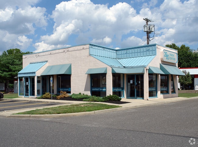
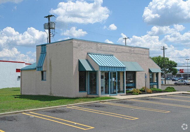
Property Record
1477 Blackwood Clementon Rd, Clementon, NJ 08021

Property Detail
1477 Blackwood Clementon Rd
Philadelphia-Camden-Wilmington, PA-NJ-DE-MD
Camden
15-20202-0000-00002
New Jersey
Commercialnec
2
B and X Area of moderate flood hazard, usually the area between the limits of the 100-year and 500-year floods.
1.74 AC
2025
South Camden County
2025
Philadelphia
608600
NEARBY LISTINGS FOR SALE OR LEASE
DEMOGRAPHICS near 1477 Blackwood Clementon Rd
1 mile
3 mile
5 mile
2025 Total Population
15,170
87,453
216,162
2030 Population
15,389
89,036
220,518
Pop Growth 2025-2030
+ 1.44%
+ 1.81%
+ 2.02%
Average Age
40
40
41
2025 Total Households
6,421
34,934
84,353
HH Growth 2025-2030
+ 1.68%
+ 1.89%
+ 2.02%
Median Household Inc
$78,121
$86,274
$90,409
Avg Household Size
2.30
2.50
2.50
2025 Avg HH Vehicles
2.00
2.00
2.00
Median Home Value
$256,913
$270,118
$286,342
Median Year Built
1978
1973
1974
Nearby Places
Map Layers
Map Styles
 Street
 Aerial
Layers
 Traffic
 Biking
Places
Listings with unknown addresses are not visible on the map
- Restaurants
- Banks
- Shops
- Fitness
- Groceries
PUBLIC TRANSPORTATION
COMMUTER RAIL
Lindenwold (NJT) (Atlantic City Line - NJ Transit Commuter Rail (NJ Transit))
Drive
Walk
Distance
Lindenwold (NJT) (Atlantic City Line - NJ Transit Commuter Rail (NJ Transit))
8 min
3.7 mi
Atco (Atlantic City Line - NJ Transit Commuter Rail (NJ Transit))
Drive
Walk
Distance
Atco (Atlantic City Line - NJ Transit Commuter Rail (NJ Transit))
14 min
8.7 mi
AIRPORT
Philadelphia International
Drive
Walk
Distance
Philadelphia International
32 min
18.4 mi
Atlantic City International
Drive
Walk
Distance
Atlantic City International
72 min
41.6 mi
Trenton Mercer
Drive
Walk
Distance
Trenton Mercer
64 min
44.9 mi
Freight Ports
Broadway Terminal - Pier 5
Drive
Walk
Distance
Broadway Terminal - Pier 5
16 min
9.9 mi
Nearby Properties
Address
Land Use
TOTAL SIZE
Lot Size
Zoning
Address
Land Use
TOTAL SIZE
Lot Size
Zoning
Address
Land Use
TOTAL SIZE
Lot Size
Zoning
54.91 AC
Address
Land Use
TOTAL SIZE
Lot Size
Zoning
Address
Land Use
TOTAL SIZE
Lot Size
Zoning
61.94 AC
R3
Address
Land Use
TOTAL SIZE
Lot Size
Zoning
46,360 SF
8.07 AC
Address
Land Use
TOTAL SIZE
Lot Size
Zoning
48 AC
R-3
Address
Land Use
TOTAL SIZE
Lot Size
Zoning
Address
Land Use
TOTAL SIZE
Lot Size
Zoning
49.56 AC
H
Address
Land Use
TOTAL SIZE
Lot Size
Zoning
33.50 AC
INS
Address
Land Use
TOTAL SIZE
Lot Size
Zoning
32.49 AC
Address
Land Use
TOTAL SIZE
Lot Size
Zoning
36.17 AC
Address
Land Use
TOTAL SIZE
Lot Size
Zoning
33.24 AC
INS
Address
Land Use
TOTAL SIZE
Lot Size
Zoning
Address
Land Use
TOTAL SIZE
Lot Size
Zoning
29.87 AC
R-3
Address
Land Use
TOTAL SIZE
Lot Size
Zoning
Address
Land Use
TOTAL SIZE
Lot Size
Zoning
28.93 AC
Address
Land Use
TOTAL SIZE
Lot Size
Zoning
5.29 AC
Address
Land Use
TOTAL SIZE
Lot Size
Zoning
1,872 SF
180.40 AC
Address
Land Use
TOTAL SIZE
Lot Size
Zoning
20.85 AC
R-3
Address
Land Use
TOTAL SIZE
Lot Size
Zoning
23.61 AC
SC
Address
Land Use
TOTAL SIZE
Lot Size
Zoning
1,796 SF
13.47 AC
Address
Land Use
TOTAL SIZE
Lot Size
Zoning
Address
Land Use
TOTAL SIZE
Lot Size
Zoning
Address
Land Use
TOTAL SIZE
Lot Size
Zoning
11.70 AC
Address
Land Use
TOTAL SIZE
Lot Size
Zoning
17.54 AC
RD
Address
Land Use
TOTAL SIZE
Lot Size
Zoning
Address
Land Use
TOTAL SIZE
Lot Size
Zoning
18.25 AC
Address
Land Use
TOTAL SIZE
Lot Size
Zoning
16.40 AC
COMM
Address
Land Use
TOTAL SIZE
Lot Size
Zoning
13.44 AC
Address
Land Use
TOTAL SIZE
Lot Size
Zoning
18.12 AC
The World's #1 Commercial Real Estate Marketplace
Connect with us
© 2026 CoStar Group
The information above has been obtained from sources believed reliable. While we do not doubt its accuracy we have not verified it and make no guarantee, warranty or representation about it. It is your responsibility to independently confirm its accuracy and completeness. Any projections, opinions, assumptions, or estimates used are for example only and do not represent the current or future performance of the property. The value of this transaction to you depends on tax and other factors which should be evaluated by your tax, financial, and legal advisors. You and your advisors should conduct a careful, independent investigation of the property to determine to your satisfaction the suitability of the property for your needs.