Property Record
14771 State Route 7 St, Proctorville, OH 45669

NEARBY LISTINGS FOR SALE OR LEASE
-
-
View all Proctorville listings for sale on LoopNet.com
Property Detail
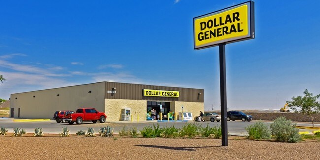
14771 State Route 7 St
19-253-0300.001
15-2-14 20-693, 694 SD 6 TIERMAN LAND W OF E MICR 1.66 AC
Storebuilding
Lawrence
AE
Ohio
39053C0400E
1.66 AC
2024
Lawrence County
2025
Huntington/Ashland
051401
Huntington-Ashland, WV-KY-OH
9,220 SF
DEMOGRAPHICS near 14771 State Route 7 St
1 Mile
3 Mile
5 Mile
2024 Total Population
835
2,619
7,593
2029 Population
818
2,524
7,263
Pop Growth 2024-2029
(2.04%)
(3.63%)
(4.35%)
Average Age
44
43
43
2024 Total Households
347
1,084
3,133
HH Growth 2024-2029
(1.73%)
(3.51%)
(4.25%)
Median Household Inc
$55,847
$55,766
$57,505
Avg Household Size
2.40
2.40
2.40
2024 Avg HH Vehicles
2.00
2.00
2.00
Median Home Value
$173,648
$170,479
$175,973
Median Year Built
1981
1983
1983
Nearby Places
Map Layers
Map Styles
 Street
 Aerial
- Restaurants
- Banks
- Shops
- Fitness
- Groceries
PUBLIC TRANSPORTATION
AIRPORT
Tri-State/Milton J Ferguson Field
DRIVE
WALK
Distance
Tri-State/Milton J Ferguson Field
41 min
26.1 mi
Freight Ports
Port of Toledo
DRIVE
WALK
Distance
Port of Toledo
353 min
269.7 mi
SALE & LEASE HISTORY
LISTING DATE
SALE/LEASE

Aug 30, 2018
For Sale
Nearby Properties
Address
Land Use
TOTAL SIZE
Lot Size
Zoning
Address
Land Use
TOTAL SIZE
Lot Size
Zoning
17.23 AC
Address
Land Use
TOTAL SIZE
Lot Size
Zoning
Address
Land Use
TOTAL SIZE
Lot Size
Zoning
17.65 AC
Address
Land Use
TOTAL SIZE
Lot Size
Zoning
26.80 AC
Address
Land Use
TOTAL SIZE
Lot Size
Zoning
1.74 AC
Address
Land Use
TOTAL SIZE
Lot Size
Zoning
4.90 AC
Address
Land Use
TOTAL SIZE
Lot Size
Zoning
55.33 AC
Address
Land Use
TOTAL SIZE
Lot Size
Zoning
8,080 SF
1.93 AC
Address
Land Use
TOTAL SIZE
Lot Size
Zoning
1.70 AC
Address
Land Use
TOTAL SIZE
Lot Size
Zoning
21.19 AC
Address
Land Use
TOTAL SIZE
Lot Size
Zoning
1,920 SF
1 AC
Address
Land Use
TOTAL SIZE
Lot Size
Zoning
6,892 SF
3.33 AC
Address
Land Use
TOTAL SIZE
Lot Size
Zoning
0.53 AC
Address
Land Use
TOTAL SIZE
Lot Size
Zoning
4,641 SF
10.81 AC
Address
Land Use
TOTAL SIZE
Lot Size
Zoning
5,149 SF
2.97 AC
Address
Land Use
TOTAL SIZE
Lot Size
Zoning
4,462 SF
91.38 AC
Address
Land Use
TOTAL SIZE
Lot Size
Zoning
3.39 AC
Address
Land Use
TOTAL SIZE
Lot Size
Zoning
6.30 AC
Address
Land Use
TOTAL SIZE
Lot Size
Zoning
924 SF
176.24 AC
Address
Land Use
TOTAL SIZE
Lot Size
Zoning
2,880 SF
14.58 AC
Address
Land Use
TOTAL SIZE
Lot Size
Zoning
4,420 SF
17.43 AC
Address
Land Use
TOTAL SIZE
Lot Size
Zoning
4,724 SF
28.10 AC
Address
Land Use
TOTAL SIZE
Lot Size
Zoning
4,536 SF
8.50 AC
Address
Land Use
TOTAL SIZE
Lot Size
Zoning
4,176 SF
43.40 AC
Address
Land Use
TOTAL SIZE
Lot Size
Zoning
3,618 SF
21.19 AC
Address
Land Use
TOTAL SIZE
Lot Size
Zoning
6,768 SF
19.20 AC
Address
Land Use
TOTAL SIZE
Lot Size
Zoning
4,461 SF
15 AC
Address
Land Use
TOTAL SIZE
Lot Size
Zoning
0.95 AC
Address
Land Use
TOTAL SIZE
Lot Size
Zoning
1.54 AC
The World's #1 Commercial Real Estate Marketplace
Connect with us
© 2026 CoStar Group
The information above has been obtained from sources believed reliable. While we do not doubt its accuracy we have not verified it and make no guarantee, warranty or representation about it. It is your responsibility to independently confirm its accuracy and completeness. Any projections, opinions, assumptions, or estimates used are for example only and do not represent the current or future performance of the property. The value of this transaction to you depends on tax and other factors which should be evaluated by your tax, financial, and legal advisors. You and your advisors should conduct a careful, independent investigation of the property to determine to your satisfaction the suitability of the property for your needs.