Property Record
149 N 142Nd St, Bonner Springs, KS 66012


NEARBY LISTINGS FOR SALE OR LEASE
Property Detail
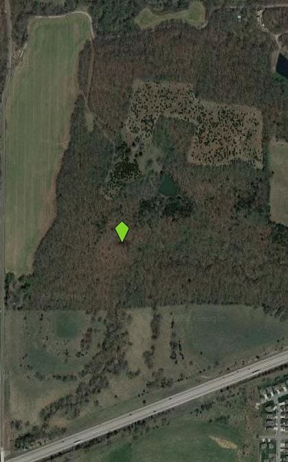
149 N 142Nd St
Kansas City, MO-KS
Crossroads World Outreach Ch
964004
9640, S18, T11, R23, ACRES 170.85, NW1/4 S OF RIVERVIEW AVE LS W 20FT LS E 300FT OF N 165FT; ALSO CROSSROADS WORLD OUTREACH CHURCH: L1; CONTG 170.85AC M/L
Ranch
Wyandotte
AE
Kansas
20209C0110E
1
2025
170.82 AC
2025
Kansas City KS
044807
Kansas City
868 SF
DEMOGRAPHICS near 149 N 142Nd St
1 Mile
3 Mile
5 Mile
2024 Total Population
773
12,988
29,990
2029 Population
742
12,799
29,898
Pop Growth 2024-2029
(4.01%)
(1.46%)
(0.31%)
Average Age
40
40
40
2024 Total Households
295
5,049
11,289
HH Growth 2024-2029
(4.07%)
(1.60%)
(0.51%)
Median Household Inc
$107,427
$90,365
$97,503
Avg Household Size
2.60
2.50
2.60
2024 Avg HH Vehicles
3.00
2.00
2.00
Median Home Value
$264,285
$255,470
$287,766
Median Year Built
1986
1991
1995
Nearby Places
Map Layers
Map Styles
 Street
 Aerial
- Restaurants
- Banks
- Shops
- Fitness
- Groceries
PUBLIC TRANSPORTATION
AIRPORT
Kansas City International
DRIVE
WALK
Distance
Kansas City International
39 min
30.1 mi
Freight Ports
Tulsa Port Of Catoosa
DRIVE
WALK
Distance
Tulsa Port Of Catoosa
276 min
244.2 mi
SALE & LEASE HISTORY
LISTING DATE
SALE/LEASE

Mar 31, 2022
For Sale
Nearby Properties
Address
Land Use
TOTAL SIZE
Lot Size
Zoning
Address
Land Use
TOTAL SIZE
Lot Size
Zoning
920,306 SF
90.21 AC
Address
Land Use
TOTAL SIZE
Lot Size
Zoning
110,528 SF
47.34 AC
Address
Land Use
TOTAL SIZE
Lot Size
Zoning
297,198 SF
60.55 AC
Address
Land Use
TOTAL SIZE
Lot Size
Zoning
169,410 SF
37.81 AC
Address
Land Use
TOTAL SIZE
Lot Size
Zoning
52,047 SF
12.18 AC
Address
Land Use
TOTAL SIZE
Lot Size
Zoning
58,897 SF
141.52 AC
BA1
Address
Land Use
TOTAL SIZE
Lot Size
Zoning
86,176 SF
49.23 AC
KAG
Address
Land Use
TOTAL SIZE
Lot Size
Zoning
141,032 SF
68.59 AC
A1
Address
Land Use
TOTAL SIZE
Lot Size
Zoning
69,406 SF
29.75 AC
Address
Land Use
TOTAL SIZE
Lot Size
Zoning
26,738 SF
82.01 AC
Address
Land Use
TOTAL SIZE
Lot Size
Zoning
21,511 SF
5.23 AC
Address
Land Use
TOTAL SIZE
Lot Size
Zoning
24,933 SF
17.16 AC
KAG
Address
Land Use
TOTAL SIZE
Lot Size
Zoning
47,070 SF
15.34 AC
Address
Land Use
TOTAL SIZE
Lot Size
Zoning
22,136 SF
24.15 AC
Address
Land Use
TOTAL SIZE
Lot Size
Zoning
19,113 SF
2.06 AC
BA2
Address
Land Use
TOTAL SIZE
Lot Size
Zoning
29,323 SF
250.53 AC
BA1
Address
Land Use
TOTAL SIZE
Lot Size
Zoning
2.75 AC
Address
Land Use
TOTAL SIZE
Lot Size
Zoning
7,167 SF
1.01 AC
BR2
Address
Land Use
TOTAL SIZE
Lot Size
Zoning
3,340 SF
119.11 AC
BR
Address
Land Use
TOTAL SIZE
Lot Size
Zoning
167,873 SF
18.68 AC
BR2
Address
Land Use
TOTAL SIZE
Lot Size
Zoning
26,798 SF
9.65 AC
Address
Land Use
TOTAL SIZE
Lot Size
Zoning
15,657 SF
1.46 AC
Address
Land Use
TOTAL SIZE
Lot Size
Zoning
19,753 SF
4.83 AC
Address
Land Use
TOTAL SIZE
Lot Size
Zoning
16,854 SF
2.60 AC
Address
Land Use
TOTAL SIZE
Lot Size
Zoning
14,834 SF
9.99 AC
Address
Land Use
TOTAL SIZE
Lot Size
Zoning
154.64 AC
WC
Address
Land Use
TOTAL SIZE
Lot Size
Zoning
29,615 SF
1.98 AC
BR2
Address
Land Use
TOTAL SIZE
Lot Size
Zoning
10,320 SF
38.08 AC
Address
Land Use
TOTAL SIZE
Lot Size
Zoning
20,025 SF
5.32 AC
BA2
Address
Land Use
TOTAL SIZE
Lot Size
Zoning
12,163 SF
3.31 AC
The World's #1 Commercial Real Estate Marketplace
Connect with us
© 2025 CoStar Group
The information above has been obtained from sources believed reliable. While we do not doubt its accuracy we have not verified it and make no guarantee, warranty or representation about it. It is your responsibility to independently confirm its accuracy and completeness. Any projections, opinions, assumptions, or estimates used are for example only and do not represent the current or future performance of the property. The value of this transaction to you depends on tax and other factors which should be evaluated by your tax, financial, and legal advisors. You and your advisors should conduct a careful, independent investigation of the property to determine to your satisfaction the suitability of the property for your needs.