Property Record
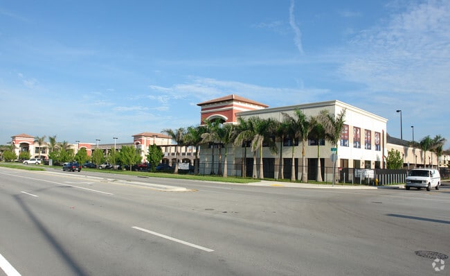
14901 Sw 42Nd St, Miami, FL 33185


NEARBY LISTINGS FOR SALE OR LEASE
Property Detail
14901 Sw 42Nd St
30-4916-052-0010
Bird
Publichealthcarefacility
149 BIRD PB 167-093 T-21604 TR A LOT SIZE 3.28 AC ML FAU 30-4916-000-0570
AH
Miami/Dade
12086C0431L
Florida
0
3.28 AC
2025
Outlying Miami-Dade Cnty
015202
South Florida
76,551 SF
Miami-Miami Beach-Kendall, FL
DEMOGRAPHICS near 14901 Sw 42Nd St
1 Mile
3 Mile
5 Mile
2024 Total Population
20,420
146,741
331,294
2029 Population
19,698
142,026
321,038
Pop Growth 2024-2029
(3.54%)
(3.21%)
(3.10%)
Average Age
43
43
43
2024 Total Households
6,081
45,581
104,331
HH Growth 2024-2029
(4.05%)
(3.63%)
(3.55%)
Median Household Inc
$88,713
$72,507
$69,794
Avg Household Size
3.30
3.10
3.00
2024 Avg HH Vehicles
2.00
2.00
2.00
Median Home Value
$425,877
$382,226
$374,710
Median Year Built
1992
1987
1985
Nearby Places
Map Layers
Map Styles
 Street
 Aerial
- Restaurants
- Banks
- Shops
- Fitness
- Groceries
PUBLIC TRANSPORTATION
AIRPORT
Miami International
DRIVE
WALK
Distance
Miami International
27 min
14.0 mi
Fort Lauderdale/Hollywood International
DRIVE
WALK
Distance
Fort Lauderdale/Hollywood International
51 min
38.4 mi
Freight Ports
Port of Miami
DRIVE
WALK
Distance
Port of Miami
35 min
21.2 mi
Nearby Properties
Address
Land Use
TOTAL SIZE
Lot Size
Zoning
Address
Land Use
TOTAL SIZE
Lot Size
Zoning
357,809 SF
9.39 AC
0103
Address
Land Use
TOTAL SIZE
Lot Size
Zoning
404,425 SF
43.03 AC
9000
Address
Land Use
TOTAL SIZE
Lot Size
Zoning
299,209 SF
15.83 AC
3800
Address
Land Use
TOTAL SIZE
Lot Size
Zoning
160,000 SF
16.41 AC
8900
Address
Land Use
TOTAL SIZE
Lot Size
Zoning
251,244 SF
22.89 AC
6400
Address
Land Use
TOTAL SIZE
Lot Size
Zoning
484,900 SF
152.93 AC
8900
Address
Land Use
TOTAL SIZE
Lot Size
Zoning
412,188 SF
13.87 AC
3900
Address
Land Use
TOTAL SIZE
Lot Size
Zoning
281,931 SF
31.78 AC
3800
Address
Land Use
TOTAL SIZE
Lot Size
Zoning
266,482 SF
28 AC
8900
Address
Land Use
TOTAL SIZE
Lot Size
Zoning
199,308 SF
9.67 AC
3800
Address
Land Use
TOTAL SIZE
Lot Size
Zoning
115,970 SF
9.40 AC
3800
Address
Land Use
TOTAL SIZE
Lot Size
Zoning
138,945 SF
8.68 AC
6200
Address
Land Use
TOTAL SIZE
Lot Size
Zoning
161,954 SF
2.47 AC
7100
Address
Land Use
TOTAL SIZE
Lot Size
Zoning
147,939 SF
9.85 AC
2800
Address
Land Use
TOTAL SIZE
Lot Size
Zoning
103,832 SF
8.15 AC
6200
Address
Land Use
TOTAL SIZE
Lot Size
Zoning
140,102 SF
11.93 AC
6200
Address
Land Use
TOTAL SIZE
Lot Size
Zoning
120,626 SF
11.82 AC
6200
Address
Land Use
TOTAL SIZE
Lot Size
Zoning
141,206 SF
2 AC
3700
Address
Land Use
TOTAL SIZE
Lot Size
Zoning
107,001 SF
11 AC
8900
Address
Land Use
TOTAL SIZE
Lot Size
Zoning
113,731 SF
4.50 AC
6200
Address
Land Use
TOTAL SIZE
Lot Size
Zoning
97,333 SF
7.80 AC
6400
Address
Land Use
TOTAL SIZE
Lot Size
Zoning
107,375 SF
7.98 AC
6200
Address
Land Use
TOTAL SIZE
Lot Size
Zoning
88,873 SF
10 AC
2800
Address
Land Use
TOTAL SIZE
Lot Size
Zoning
85,588 SF
7.46 AC
6200
Address
Land Use
TOTAL SIZE
Lot Size
Zoning
94,433 SF
7.39 AC
3800
Address
Land Use
TOTAL SIZE
Lot Size
Zoning
91,682 SF
8.16 AC
6200
Address
Land Use
TOTAL SIZE
Lot Size
Zoning
139,619 SF
9.18 AC
6200
Address
Land Use
TOTAL SIZE
Lot Size
Zoning
91,135 SF
5.43 AC
8900
Address
Land Use
TOTAL SIZE
Lot Size
Zoning
90,467 SF
9.11 AC
6200
The World's #1 Commercial Real Estate Marketplace
Connect with us
© 2025 CoStar Group
The information above has been obtained from sources believed reliable. While we do not doubt its accuracy we have not verified it and make no guarantee, warranty or representation about it. It is your responsibility to independently confirm its accuracy and completeness. Any projections, opinions, assumptions, or estimates used are for example only and do not represent the current or future performance of the property. The value of this transaction to you depends on tax and other factors which should be evaluated by your tax, financial, and legal advisors. You and your advisors should conduct a careful, independent investigation of the property to determine to your satisfaction the suitability of the property for your needs.