Property Record
14980 Highway Z, Saint Robert, MO 65584


Property Detail
14980 Highway Z
10-7.0-26-000-000-014-001
PT NW NW4
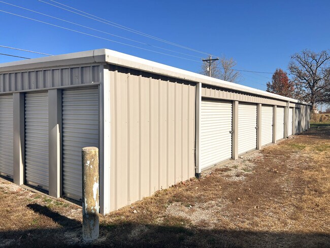
Warehouse
PULASKI
B and X Area of moderate flood hazard, usually the area between the limits of the 100-year and 500-year floods.
Missouri
2025
2.90 AC
2025
Missouri South Central Area
470289
Other Market Areas
4,785 SF
Fort Leonard Wood, MO
NEARBY LISTINGS FOR SALE OR LEASE
-
-
View all Saint Robert listings for sale on LoopNet.com
DEMOGRAPHICS near 14980 Highway Z
1 mile
3 mile
5 mile
2025 Total Population
1,536
10,154
30,313
2030 Population
1,488
10,004
30,971
Pop Growth 2025-2030
(3.13%)
(1.48%)
+ 2.17%
Average Age
36
34
30
2025 Total Households
625
3,812
8,102
HH Growth 2025-2030
(2.56%)
(1.18%)
+ 2.62%
Median Household Inc
$54,761
$63,680
$67,659
Avg Household Size
2.40
2.50
2.70
2025 Avg HH Vehicles
2.00
2.00
2.00
Median Home Value
$175,199
$210,062
$217,175
Median Year Built
1991
1997
1999
Nearby Places
Map Layers
Map Styles
 Street
 Aerial
Layers
 Traffic
 Biking
Places
Listings with unknown addresses are not visible on the map
- Restaurants
- Banks
- Shops
- Fitness
- Groceries
SALE & LEASE HISTORY
LISTING DATE
SALE/LEASE

Nov 21, 2023
For Sale
Nearby Properties
Address
Land Use
TOTAL SIZE
Lot Size
Zoning
Address
Land Use
TOTAL SIZE
Lot Size
Zoning
110,276 SF
11.90 AC
Address
Land Use
TOTAL SIZE
Lot Size
Zoning
9,861 SF
2.80 AC
Address
Land Use
TOTAL SIZE
Lot Size
Zoning
46,308 SF
1.50 AC
Address
Land Use
TOTAL SIZE
Lot Size
Zoning
37,731 SF
2 AC
Address
Land Use
TOTAL SIZE
Lot Size
Zoning
43,312 SF
1.50 AC
Address
Land Use
TOTAL SIZE
Lot Size
Zoning
44,133 SF
1 AC
Address
Land Use
TOTAL SIZE
Lot Size
Zoning
49,277 SF
2.40 AC
Address
Land Use
TOTAL SIZE
Lot Size
Zoning
40,548 SF
2 AC
Address
Land Use
TOTAL SIZE
Lot Size
Zoning
37,179 SF
2 AC
Address
Land Use
TOTAL SIZE
Lot Size
Zoning
32,000 SF
3.70 AC
Address
Land Use
TOTAL SIZE
Lot Size
Zoning
19,152 SF
2.40 AC
Address
Land Use
TOTAL SIZE
Lot Size
Zoning
34,668 SF
1.90 AC
Address
Land Use
TOTAL SIZE
Lot Size
Zoning
9,576 SF
2.40 AC
Address
Land Use
TOTAL SIZE
Lot Size
Zoning
1,200 SF
3.20 AC
Address
Land Use
TOTAL SIZE
Lot Size
Zoning
48,283 SF
3 AC
Address
Land Use
TOTAL SIZE
Lot Size
Zoning
3,030 SF
6.70 AC
Address
Land Use
TOTAL SIZE
Lot Size
Zoning
21,788 SF
13.10 AC
Address
Land Use
TOTAL SIZE
Lot Size
Zoning
33,540 SF
1.60 AC
Address
Land Use
TOTAL SIZE
Lot Size
Zoning
5,247 SF
6.70 AC
Address
Land Use
TOTAL SIZE
Lot Size
Zoning
7,192 SF
1.70 AC
Address
Land Use
TOTAL SIZE
Lot Size
Zoning
6,238 SF
2.70 AC
Address
Land Use
TOTAL SIZE
Lot Size
Zoning
3,028 SF
5.40 AC
Address
Land Use
TOTAL SIZE
Lot Size
Zoning
28,562 SF
2 AC
Address
Land Use
TOTAL SIZE
Lot Size
Zoning
200 SF
6.80 AC
The World's #1 Commercial Real Estate Marketplace
Connect with us
© 2026 CoStar Group
The information above has been obtained from sources believed reliable. While we do not doubt its accuracy we have not verified it and make no guarantee, warranty or representation about it. It is your responsibility to independently confirm its accuracy and completeness. Any projections, opinions, assumptions, or estimates used are for example only and do not represent the current or future performance of the property. The value of this transaction to you depends on tax and other factors which should be evaluated by your tax, financial, and legal advisors. You and your advisors should conduct a careful, independent investigation of the property to determine to your satisfaction the suitability of the property for your needs.