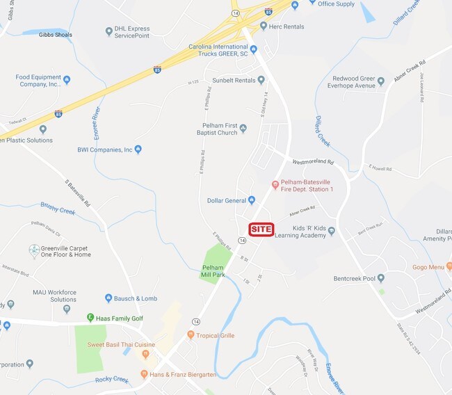
Property Record
150 D St, Greer, SC 29651


Property Detail
150 D St
Spartanburg, SC
LOTS 59 63 66 67 & P/O LOTS 68 69 & 87 PELHAM MILL VILLAGE PB 158-277 DB 86G-208 DB 83Y-423 DB 85B-6
9-07-09-048.00
Spartanburg
Commercialnec
South Carolina
B and X Area of moderate flood hazard, usually the area between the limits of the 100-year and 500-year floods.
59,68
2024
1.61 AC
2025
Rt 101 Corridor
023405
Greenville/Spartanburg
4,442 SF
NEARBY LISTINGS FOR SALE OR LEASE
DEMOGRAPHICS near 150 D St
1 mile
3 mile
5 mile
2025 Total Population
3,232
29,383
108,176
2030 Population
3,561
31,803
116,532
Pop Growth 2025-2030
+ 10.18%
+ 8.24%
+ 7.72%
Average Age
38
41
40
2025 Total Households
1,079
11,082
41,285
HH Growth 2025-2030
+ 10.38%
+ 8.41%
+ 7.90%
Median Household Inc
$131,510
$119,037
$104,646
Avg Household Size
2.90
2.60
2.60
2025 Avg HH Vehicles
2.00
2.00
2.00
Median Home Value
$393,442
$462,099
$397,092
Median Year Built
1998
2000
1997
Nearby Places
Map Layers
Map Styles
 Street
 Aerial
Layers
 Traffic
 Biking
Places
Listings with unknown addresses are not visible on the map
- Restaurants
- Banks
- Shops
- Fitness
- Groceries
PUBLIC TRANSPORTATION
AIRPORT
Greenville Spartanburg International
Drive
Walk
Distance
Greenville Spartanburg International
7 min
3.0 mi
Freight Ports
North Charleston Terminal
Drive
Walk
Distance
North Charleston Terminal
229 min
201.4 mi
SALE & LEASE HISTORY
LISTING DATE
SALE/LEASE

Aug 16, 2017
For Sale
Aug 12, 2019
For Sale
Nearby Properties
Address
Land Use
TOTAL SIZE
Lot Size
Zoning
Address
Land Use
TOTAL SIZE
Lot Size
Zoning
136.04 AC
I1
Address
Land Use
TOTAL SIZE
Lot Size
Zoning
18.55 AC
RS
Address
Land Use
TOTAL SIZE
Lot Size
Zoning
88.98 AC
RS
Address
Land Use
TOTAL SIZE
Lot Size
Zoning
20.40 AC
RS
Address
Land Use
TOTAL SIZE
Lot Size
Zoning
18.50 AC
PD
Address
Land Use
TOTAL SIZE
Lot Size
Zoning
17.53 AC
I1
Address
Land Use
TOTAL SIZE
Lot Size
Zoning
1,202 SF
14.38 AC
RS
Address
Land Use
TOTAL SIZE
Lot Size
Zoning
12.20 AC
PDC
Address
Land Use
TOTAL SIZE
Lot Size
Zoning
143.57 AC
I1
Address
Land Use
TOTAL SIZE
Lot Size
Zoning
91.80 AC
PD
Address
Land Use
TOTAL SIZE
Lot Size
Zoning
86,884 SF
5.31 AC
Address
Land Use
TOTAL SIZE
Lot Size
Zoning
5.70 AC
I1
Address
Land Use
TOTAL SIZE
Lot Size
Zoning
9.27 AC
I1
Address
Land Use
TOTAL SIZE
Lot Size
Zoning
4.80 AC
I1
Address
Land Use
TOTAL SIZE
Lot Size
Zoning
9.90 AC
I1
Address
Land Use
TOTAL SIZE
Lot Size
Zoning
16.50 AC
TS1
Address
Land Use
TOTAL SIZE
Lot Size
Zoning
15.90 AC
TS1
Address
Land Use
TOTAL SIZE
Lot Size
Zoning
5.80 AC
RS
Address
Land Use
TOTAL SIZE
Lot Size
Zoning
2,417 SF
115.88 AC
Address
Land Use
TOTAL SIZE
Lot Size
Zoning
29 AC
I1
Address
Land Use
TOTAL SIZE
Lot Size
Zoning
22.48 AC
I1
Address
Land Use
TOTAL SIZE
Lot Size
Zoning
2.30 AC
I1
Address
Land Use
TOTAL SIZE
Lot Size
Zoning
23.20 AC
PD
Address
Land Use
TOTAL SIZE
Lot Size
Zoning
2 AC
PD
Address
Land Use
TOTAL SIZE
Lot Size
Zoning
1.70 AC
I1
Address
Land Use
TOTAL SIZE
Lot Size
Zoning
18.53 AC
Address
Land Use
TOTAL SIZE
Lot Size
Zoning
26.29 AC
RS
Address
Land Use
TOTAL SIZE
Lot Size
Zoning
29.80 AC
I1
Address
Land Use
TOTAL SIZE
Lot Size
Zoning
3,507 SF
8.78 AC
I1
Address
Land Use
TOTAL SIZE
Lot Size
Zoning
15.26 AC
The World's #1 Commercial Real Estate Marketplace
Connect with us
© 2026 CoStar Group
The information above has been obtained from sources believed reliable. While we do not doubt its accuracy we have not verified it and make no guarantee, warranty or representation about it. It is your responsibility to independently confirm its accuracy and completeness. Any projections, opinions, assumptions, or estimates used are for example only and do not represent the current or future performance of the property. The value of this transaction to you depends on tax and other factors which should be evaluated by your tax, financial, and legal advisors. You and your advisors should conduct a careful, independent investigation of the property to determine to your satisfaction the suitability of the property for your needs.