Property Record
150 Las Palmas Dr, Irvine, CA 92602


NEARBY LISTINGS FOR SALE OR LEASE
-
-
View all Irvine listings for sale on LoopNet.com
Property Detail
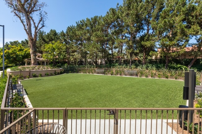
150 Las Palmas Dr
Anaheim-Santa Ana-Irvine, CA
Tr 15922
528-021-11
N TR 15922 BLK LOT 1 TR NO 15922 LOTS 1 & 2
Multifamilydwelling
Orange
X
California
06059C0281J
1,2
2024
13.65 AC
2025
Lower Peters Canyon
052534
Orange County (California)
DEMOGRAPHICS near 150 Las Palmas Dr
1 mile
3 mile
5 mile
2024 Total Population
26,144
198,748
444,796
2029 Population
25,718
196,907
440,433
Pop Growth 2024-2029
(1.63%)
(0.93%)
(0.98%)
Average Age
37
39
38
2024 Total Households
9,681
67,478
148,668
HH Growth 2024-2029
(1.69%)
(1.12%)
(1.07%)
Median Household Inc
$115,352
$119,760
$110,552
Avg Household Size
2.60
2.90
2.90
2024 Avg HH Vehicles
2.00
2.00
2.00
Median Home Value
$933,581
$968,042
$898,036
Median Year Built
1998
1990
1986
Nearby Places
Map Layers
Map Styles
 Street
 Aerial
Transit
 Traffic
 Biking
Places
Listings with unknown addresses are not visible on the map
- Restaurants
- Banks
- Shops
- Fitness
- Groceries
PUBLIC TRANSPORTATION
COMMUTER RAIL
Tustin (Inland Empire-Orange County Line - Southern California Regional Rail Authority (Metrolink), Orange County Line - Southern California Regional Rail Authority (Metrolink))
Drive
Walk
Distance
Tustin (Inland Empire-Orange County Line - Southern California Regional Rail Authority (Metrolink), Orange County Line - Southern California Regional Rail Authority (Metrolink))
4 min
2.2 mi
Santa Ana (Inland Empire-Orange County Line - Southern California Regional Rail Authority (Metrolink), Orange County Line - Southern California Regional Rail Authority (Metrolink))
Drive
Walk
Distance
Santa Ana (Inland Empire-Orange County Line - Southern California Regional Rail Authority (Metrolink), Orange County Line - Southern California Regional Rail Authority (Metrolink))
9 min
5.5 mi
AIRPORT
John Wayne/Orange County
Drive
Walk
Distance
John Wayne/Orange County
11 min
9.0 mi
Long Beach (Daugherty Field)
Drive
Walk
Distance
Long Beach (Daugherty Field)
32 min
26.2 mi
Ontario International
Drive
Walk
Distance
Ontario International
45 min
32.5 mi
Freight Ports
Port of Long Beach
Drive
Walk
Distance
Port of Long Beach
37 min
25.8 mi
Nearby Properties
Address
Land Use
TOTAL SIZE
Lot Size
Zoning
Address
Land Use
TOTAL SIZE
Lot Size
Zoning
21.73 AC
Address
Land Use
TOTAL SIZE
Lot Size
Zoning
21.76 AC
Address
Land Use
TOTAL SIZE
Lot Size
Zoning
16,092 SF
5.97 AC
IND
Address
Land Use
TOTAL SIZE
Lot Size
Zoning
5.72 AC
Address
Land Use
TOTAL SIZE
Lot Size
Zoning
9.65 AC
Address
Land Use
TOTAL SIZE
Lot Size
Zoning
4.65 AC
Address
Land Use
TOTAL SIZE
Lot Size
Zoning
16.85 AC
Address
Land Use
TOTAL SIZE
Lot Size
Zoning
16.13 AC
Address
Land Use
TOTAL SIZE
Lot Size
Zoning
15.86 AC
Address
Land Use
TOTAL SIZE
Lot Size
Zoning
10.02 AC
Address
Land Use
TOTAL SIZE
Lot Size
Zoning
15.96 AC
Address
Land Use
TOTAL SIZE
Lot Size
Zoning
16.89 AC
Address
Land Use
TOTAL SIZE
Lot Size
Zoning
7.39 AC
Address
Land Use
TOTAL SIZE
Lot Size
Zoning
42.94 AC
Address
Land Use
TOTAL SIZE
Lot Size
Zoning
15.27 AC
Address
Land Use
TOTAL SIZE
Lot Size
Zoning
3.97 AC
Address
Land Use
TOTAL SIZE
Lot Size
Zoning
39.60 AC
Address
Land Use
TOTAL SIZE
Lot Size
Zoning
14.87 AC
Address
Land Use
TOTAL SIZE
Lot Size
Zoning
11.40 AC
Address
Land Use
TOTAL SIZE
Lot Size
Zoning
19.06 AC
Address
Land Use
TOTAL SIZE
Lot Size
Zoning
14.86 AC
Address
Land Use
TOTAL SIZE
Lot Size
Zoning
139,196 SF
6.96 AC
Address
Land Use
TOTAL SIZE
Lot Size
Zoning
101,961 SF
11.99 AC
Address
Land Use
TOTAL SIZE
Lot Size
Zoning
10.07 AC
Address
Land Use
TOTAL SIZE
Lot Size
Zoning
16.58 AC
Address
Land Use
TOTAL SIZE
Lot Size
Zoning
20 AC
Address
Land Use
TOTAL SIZE
Lot Size
Zoning
5.98 AC
Address
Land Use
TOTAL SIZE
Lot Size
Zoning
8.99 AC
Address
Land Use
TOTAL SIZE
Lot Size
Zoning
7.19 AC
The World's #1 Commercial Real Estate Marketplace
Connect with us
© 2026 CoStar Group
The information above has been obtained from sources believed reliable. While we do not doubt its accuracy we have not verified it and make no guarantee, warranty or representation about it. It is your responsibility to independently confirm its accuracy and completeness. Any projections, opinions, assumptions, or estimates used are for example only and do not represent the current or future performance of the property. The value of this transaction to you depends on tax and other factors which should be evaluated by your tax, financial, and legal advisors. You and your advisors should conduct a careful, independent investigation of the property to determine to your satisfaction the suitability of the property for your needs.