Property Record
150 Padgette St, Chicopee, MA 01022
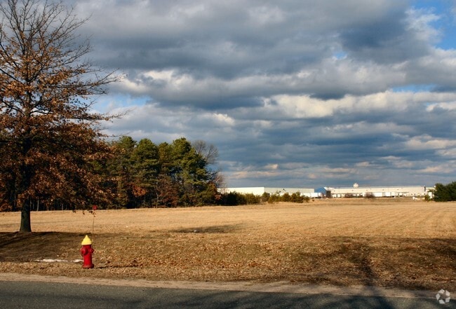

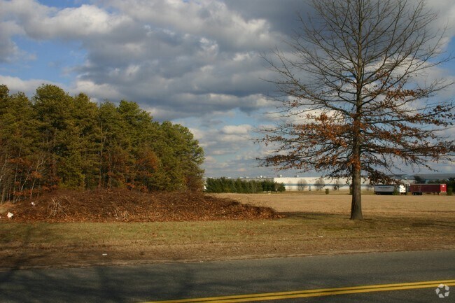
Property Detail
150 Padgette St
CHIC-000001-000000-W000050
Hampden
Industrialgeneral
Massachusetts
110
7.64 AC
B and X Area of moderate flood hazard, usually the area between the limits of the 100-year and 500-year floods.
Hampden County
2025
Hartford
2025
Springfield, MA
810601
NEARBY LISTINGS FOR SALE OR LEASE
-
-
No Photo
-
View all Chicopee listings for sale on LoopNet.com
DEMOGRAPHICS near 150 Padgette St
1 mile
3 mile
5 mile
2025 Total Population
9,710
73,907
207,056
2030 Population
9,846
74,486
207,441
Pop Growth 2025-2030
+ 1.40%
+ 0.78%
+ 0.19%
Average Age
43
41
40
2025 Total Households
4,286
30,954
82,896
HH Growth 2025-2030
+ 1.52%
+ 0.86%
+ 0.21%
Median Household Inc
$62,281
$63,630
$60,137
Avg Household Size
2.20
2.30
2.40
2025 Avg HH Vehicles
2.00
2.00
2.00
Median Home Value
$257,652
$273,282
$272,981
Median Year Built
2010
1973
1957
Nearby Places
Map Layers
Map Styles
 Street
 Aerial
Transit
 Traffic
 Biking
Places
Listings with unknown addresses are not visible on the map
- Restaurants
- Banks
- Shops
- Fitness
- Groceries
PUBLIC TRANSPORTATION
COMMUTER RAIL
Drive
Walk
Distance
11 min
3.6 mi
Drive
Walk
Distance
14 min
6.8 mi
AIRPORT
Bradley International
Drive
Walk
Distance
Bradley International
45 min
20.2 mi
Nearby Properties
Address
Land Use
TOTAL SIZE
Lot Size
Zoning
Address
Land Use
TOTAL SIZE
Lot Size
Zoning
48,924 SF
40.03 AC
I2
Address
Land Use
TOTAL SIZE
Lot Size
Zoning
21.80 AC
106
Address
Land Use
TOTAL SIZE
Lot Size
Zoning
286,624 SF
17.40 AC
102
Address
Land Use
TOTAL SIZE
Lot Size
Zoning
181,000 SF
34.48 AC
I1
Address
Land Use
TOTAL SIZE
Lot Size
Zoning
22.77 AC
111A
Address
Land Use
TOTAL SIZE
Lot Size
Zoning
762,340 SF
76.18 AC
SR1R2I
Address
Land Use
TOTAL SIZE
Lot Size
Zoning
99,792 SF
123.26 AC
S
Address
Land Use
TOTAL SIZE
Lot Size
Zoning
171,241 SF
18.94 AC
106
Address
Land Use
TOTAL SIZE
Lot Size
Zoning
30.45 AC
106
Address
Land Use
TOTAL SIZE
Lot Size
Zoning
181,008 SF
10 AC
102
Address
Land Use
TOTAL SIZE
Lot Size
Zoning
223,390 SF
13.83 AC
111A
Address
Land Use
TOTAL SIZE
Lot Size
Zoning
26.68 AC
110
Address
Land Use
TOTAL SIZE
Lot Size
Zoning
2.41 AC
DR
Address
Land Use
TOTAL SIZE
Lot Size
Zoning
4.04 AC
107
Address
Land Use
TOTAL SIZE
Lot Size
Zoning
257,179 SF
22.84 AC
110
Address
Land Use
TOTAL SIZE
Lot Size
Zoning
6.81 AC
S
Address
Land Use
TOTAL SIZE
Lot Size
Zoning
34 AC
Address
Land Use
TOTAL SIZE
Lot Size
Zoning
51,100 SF
3.95 AC
R1
Address
Land Use
TOTAL SIZE
Lot Size
Zoning
109,136 SF
5.01 AC
Address
Land Use
TOTAL SIZE
Lot Size
Zoning
81.65 AC
110
Address
Land Use
TOTAL SIZE
Lot Size
Zoning
320,639 SF
14.16 AC
110
Address
Land Use
TOTAL SIZE
Lot Size
Zoning
199,007 SF
50.95 AC
S
Address
Land Use
TOTAL SIZE
Lot Size
Zoning
88,440 SF
6.74 AC
102
Address
Land Use
TOTAL SIZE
Lot Size
Zoning
491.50 AC
108
Address
Land Use
TOTAL SIZE
Lot Size
Zoning
243.13 AC
109
Address
Land Use
TOTAL SIZE
Lot Size
Zoning
194,875 SF
2.75 AC
IG
Address
Land Use
TOTAL SIZE
Lot Size
Zoning
30.01 AC
104
Address
Land Use
TOTAL SIZE
Lot Size
Zoning
3.73 AC
I2
Address
Land Use
TOTAL SIZE
Lot Size
Zoning
3.73 AC
I2
Address
Land Use
TOTAL SIZE
Lot Size
Zoning
28,617 SF
4.95 AC
R1
The World's #1 Commercial Real Estate Marketplace
Connect with us
© 2026 CoStar Group
The information above has been obtained from sources believed reliable. While we do not doubt its accuracy we have not verified it and make no guarantee, warranty or representation about it. It is your responsibility to independently confirm its accuracy and completeness. Any projections, opinions, assumptions, or estimates used are for example only and do not represent the current or future performance of the property. The value of this transaction to you depends on tax and other factors which should be evaluated by your tax, financial, and legal advisors. You and your advisors should conduct a careful, independent investigation of the property to determine to your satisfaction the suitability of the property for your needs.