Property Record
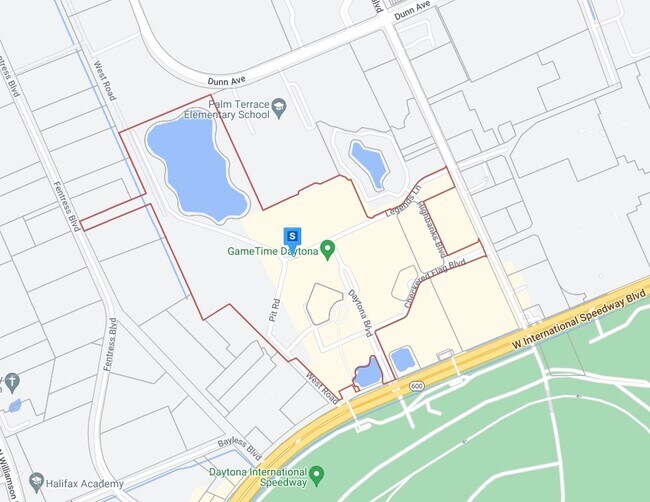
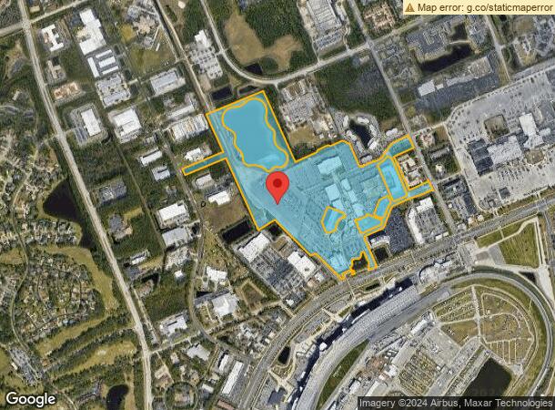
150 W Pit Rd, Daytona Beach, FL 32114
NEARBY LISTINGS FOR SALE OR LEASE
Property Detail
150 W Pit Rd
Deltona-Daytona Beach-Ormond Beach, FL
One Daytona Mb
5223-05-00-0010
14 15 & 23-15-32 LOT 1 EXC IRREG PARCEL MEAS 210.79 FT ON NE/L AS DESCRIBED IN OR 8288 PG 2091 ONE DAYTONA MB 59 PGS 124-132 INC
Regionalshoppingcenterormallwithanchorstore
Volusia
AH
Florida
12127C0354H
1
2025
73.48 AC
2026
North Daytona Beach
082302
Deltona/Daytona Beach
663,508 SF
DEMOGRAPHICS near 150 W Pit Rd
1 Mile
3 Mile
5 Mile
2024 Total Population
4,218
49,101
131,224
2029 Population
4,781
54,657
146,779
Pop Growth 2024-2029
+ 13.35%
+ 11.32%
+ 11.85%
Average Age
36
38
43
2024 Total Households
1,990
19,414
57,634
HH Growth 2024-2029
+ 13.77%
+ 12.09%
+ 12.32%
Median Household Inc
$41,256
$44,248
$46,503
Avg Household Size
2.00
2.20
2.10
2024 Avg HH Vehicles
1.00
1.00
1.00
Median Home Value
$155,369
$177,360
$189,649
Median Year Built
1986
1982
1980
Nearby Places
Map Layers
Map Styles
 Street
 Aerial
- Restaurants
- Banks
- Shops
- Fitness
- Groceries
PUBLIC TRANSPORTATION
AIRPORT
Daytona Beach International
DRIVE
WALK
Distance
Daytona Beach International
9 min
3.7 mi
Freight Ports
Port Canaveral
DRIVE
WALK
Distance
Port Canaveral
85 min
71.7 mi
Nearby Properties
Address
Land Use
TOTAL SIZE
Lot Size
Zoning
Address
Land Use
TOTAL SIZE
Lot Size
Zoning
863,820 SF
374 AC
AP
Address
Land Use
TOTAL SIZE
Lot Size
Zoning
1,365,998 SF
13 AC
Address
Land Use
TOTAL SIZE
Lot Size
Zoning
1,842,969 SF
25.56 AC
Address
Land Use
TOTAL SIZE
Lot Size
Zoning
1,058,116 SF
54.22 AC
Address
Land Use
TOTAL SIZE
Lot Size
Zoning
664,082 SF
38.16 AC
02BA
Address
Land Use
TOTAL SIZE
Lot Size
Zoning
353,548 SF
50.65 AC
Address
Land Use
TOTAL SIZE
Lot Size
Zoning
451,526 SF
17.96 AC
Address
Land Use
TOTAL SIZE
Lot Size
Zoning
442,125 SF
0.98 AC
A21
Address
Land Use
TOTAL SIZE
Lot Size
Zoning
400,964 SF
38.93 AC
Address
Land Use
TOTAL SIZE
Lot Size
Zoning
462,136 SF
31.84 AC
01A2
Address
Land Use
TOTAL SIZE
Lot Size
Zoning
275,814 SF
13 AC
Address
Land Use
TOTAL SIZE
Lot Size
Zoning
135,122 SF
78 AC
Address
Land Use
TOTAL SIZE
Lot Size
Zoning
318,230 SF
21.28 AC
Address
Land Use
TOTAL SIZE
Lot Size
Zoning
286,461 SF
945.48 AC
B62
Address
Land Use
TOTAL SIZE
Lot Size
Zoning
356,386 SF
0.75 AC
Address
Land Use
TOTAL SIZE
Lot Size
Zoning
434,487 SF
20.54 AC
Address
Land Use
TOTAL SIZE
Lot Size
Zoning
422,146 SF
32.67 AC
Address
Land Use
TOTAL SIZE
Lot Size
Zoning
303,151 SF
13.58 AC
Address
Land Use
TOTAL SIZE
Lot Size
Zoning
535,856 SF
46.85 AC
Address
Land Use
TOTAL SIZE
Lot Size
Zoning
417,015 SF
27.55 AC
Address
Land Use
TOTAL SIZE
Lot Size
Zoning
425,548 SF
10.16 AC
Address
Land Use
TOTAL SIZE
Lot Size
Zoning
259,175 SF
23.45 AC
Address
Land Use
TOTAL SIZE
Lot Size
Zoning
226,459 SF
0.57 AC
Address
Land Use
TOTAL SIZE
Lot Size
Zoning
346,734 SF
14 AC
Address
Land Use
TOTAL SIZE
Lot Size
Zoning
318,707 SF
12.16 AC
Address
Land Use
TOTAL SIZE
Lot Size
Zoning
560,165 SF
37.79 AC
02BR2
Address
Land Use
TOTAL SIZE
Lot Size
Zoning
208,825 SF
30.30 AC
02BA
Address
Land Use
TOTAL SIZE
Lot Size
Zoning
12,871 SF
0.20 AC
R4
Address
Land Use
TOTAL SIZE
Lot Size
Zoning
158,299 SF
22 AC
The World's #1 Commercial Real Estate Marketplace
Connect with us
© 2026 CoStar Group
The information above has been obtained from sources believed reliable. While we do not doubt its accuracy we have not verified it and make no guarantee, warranty or representation about it. It is your responsibility to independently confirm its accuracy and completeness. Any projections, opinions, assumptions, or estimates used are for example only and do not represent the current or future performance of the property. The value of this transaction to you depends on tax and other factors which should be evaluated by your tax, financial, and legal advisors. You and your advisors should conduct a careful, independent investigation of the property to determine to your satisfaction the suitability of the property for your needs.