Property Record
1500 Distribution Ct, Lithia Springs, GA 30122

NEARBY LISTINGS FOR SALE OR LEASE
Property Detail
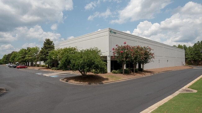
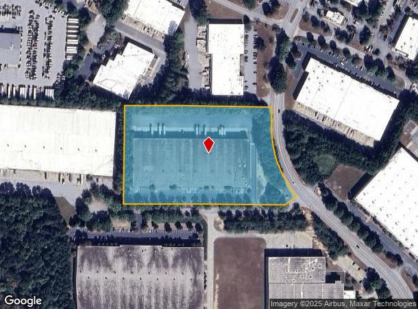
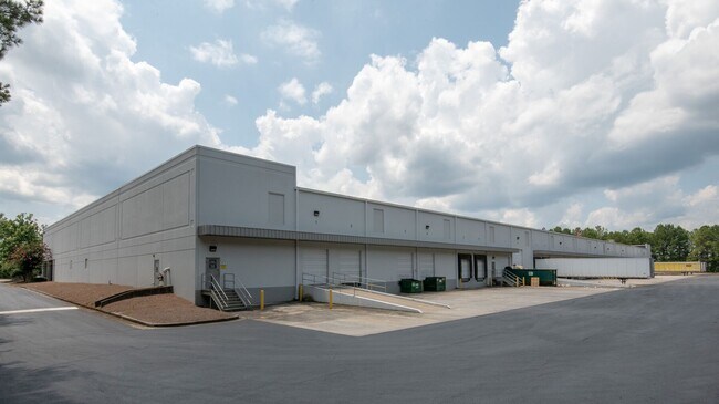
1500 Distribution Ct
Atlanta-Sandy Springs-Roswell, GA
Westfork Sub Ph 2
9182-04-7-0-002
BLDG/7.4659 AC, LOT #A-2, WESTFORK S/D, PH 2
Warehouse
Douglas
X
Georgia
13067C0211H
a-2
2024
7.47 AC
2024
I-20 W/Douglasville
080107
Atlanta
122,640 SF
DEMOGRAPHICS near 1500 Distribution Ct
1 Mile
3 Mile
5 Mile
2024 Total Population
6,209
44,201
109,918
2029 Population
6,428
45,649
113,229
Pop Growth 2024-2029
+ 3.53%
+ 3.28%
+ 3.01%
Average Age
34
37
37
2024 Total Households
2,792
16,750
40,914
HH Growth 2024-2029
+ 3.62%
+ 3.31%
+ 3.02%
Median Household Inc
$44,197
$57,021
$61,640
Avg Household Size
2.20
2.60
2.60
2024 Avg HH Vehicles
2.00
2.00
2.00
Median Home Value
$161,621
$186,308
$207,140
Median Year Built
1995
1988
1987
Nearby Places
Map Layers
Map Styles
 Street
 Aerial
- Restaurants
- Banks
- Shops
- Fitness
- Groceries
PUBLIC TRANSPORTATION
AIRPORT
Hartsfield - Jackson Atlanta International
DRIVE
WALK
Distance
Hartsfield - Jackson Atlanta International
35 min
23.5 mi
Freight Ports
Georgia Ports - Savannah
DRIVE
WALK
Distance
Georgia Ports - Savannah
298 min
262.8 mi
SALE & LEASE HISTORY
LISTING DATE
SALE/LEASE

Jun 21, 2021
For Lease
Feb 04, 2025
For Lease
Aug 02, 2022
For Lease
Aug 02, 2022
For Lease
Nearby Properties
Address
Land Use
TOTAL SIZE
Lot Size
Zoning
Address
Land Use
TOTAL SIZE
Lot Size
Zoning
840,110 SF
53.36 AC
PUD
Address
Land Use
TOTAL SIZE
Lot Size
Zoning
320,073 SF
38.78 AC
R-MF
Address
Land Use
TOTAL SIZE
Lot Size
Zoning
789,717 SF
68.55 AC
LI
Address
Land Use
TOTAL SIZE
Lot Size
Zoning
417,860 SF
40.32 AC
LI
Address
Land Use
TOTAL SIZE
Lot Size
Zoning
330,754 SF
27.25 AC
R-6
Address
Land Use
TOTAL SIZE
Lot Size
Zoning
603,096 SF
38.38 AC
HI
Address
Land Use
TOTAL SIZE
Lot Size
Zoning
318,456 SF
30.91 AC
R-MF
Address
Land Use
TOTAL SIZE
Lot Size
Zoning
222,846 SF
50.74 AC
R-6
Address
Land Use
TOTAL SIZE
Lot Size
Zoning
307,169 SF
30.13 AC
LI
Address
Land Use
TOTAL SIZE
Lot Size
Zoning
285,933 SF
46.22 AC
R-MF
Address
Land Use
TOTAL SIZE
Lot Size
Zoning
494,858 SF
43.29 AC
IL
Address
Land Use
TOTAL SIZE
Lot Size
Zoning
281,844 SF
38.66 AC
R-MF
Address
Land Use
TOTAL SIZE
Lot Size
Zoning
603,952 SF
37.71 AC
IL
Address
Land Use
TOTAL SIZE
Lot Size
Zoning
538,748 SF
35.64 AC
LI
Address
Land Use
TOTAL SIZE
Lot Size
Zoning
245,812 SF
30.90 AC
DCD
Address
Land Use
TOTAL SIZE
Lot Size
Zoning
490,726 SF
50.62 AC
LI-R
Address
Land Use
TOTAL SIZE
Lot Size
Zoning
70.12 AC
Address
Land Use
TOTAL SIZE
Lot Size
Zoning
527,000 SF
30.38 AC
LI
Address
Land Use
TOTAL SIZE
Lot Size
Zoning
240,612 SF
23.22 AC
R-6
Address
Land Use
TOTAL SIZE
Lot Size
Zoning
635,664 SF
35.94 AC
5
Address
Land Use
TOTAL SIZE
Lot Size
Zoning
428,974 SF
26.57 AC
LI-R
Address
Land Use
TOTAL SIZE
Lot Size
Zoning
351,845 SF
29.99 AC
LI-R
Address
Land Use
TOTAL SIZE
Lot Size
Zoning
400,000 SF
66.21 AC
IL
Address
Land Use
TOTAL SIZE
Lot Size
Zoning
311,073 SF
56.51 AC
LI
Address
Land Use
TOTAL SIZE
Lot Size
Zoning
380,000 SF
33.97 AC
IL
Address
Land Use
TOTAL SIZE
Lot Size
Zoning
151,436 SF
11.42 AC
RM-12
Address
Land Use
TOTAL SIZE
Lot Size
Zoning
343,360 SF
26.72 AC
LI
Address
Land Use
TOTAL SIZE
Lot Size
Zoning
280,670 SF
23 AC
PVC
Address
Land Use
TOTAL SIZE
Lot Size
Zoning
283,998 SF
41.22 AC
LI-R
Address
Land Use
TOTAL SIZE
Lot Size
Zoning
342,600 SF
18.80 AC
LI-R
The World's #1 Commercial Real Estate Marketplace
Connect with us
© 2025 CoStar Group
The information above has been obtained from sources believed reliable. While we do not doubt its accuracy we have not verified it and make no guarantee, warranty or representation about it. It is your responsibility to independently confirm its accuracy and completeness. Any projections, opinions, assumptions, or estimates used are for example only and do not represent the current or future performance of the property. The value of this transaction to you depends on tax and other factors which should be evaluated by your tax, financial, and legal advisors. You and your advisors should conduct a careful, independent investigation of the property to determine to your satisfaction the suitability of the property for your needs.