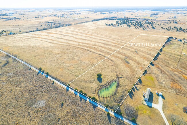
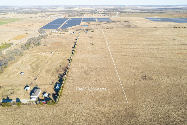
Property Record
1504 Gunter Rd, Whitesboro, TX 76273

Property Detail
1504 Gunter Rd
123799
G-0127 BRIDGES JOHN & HRS A-G0127, ACRES 18.114
Commercialnec
GRAYSON
B and X Area of moderate flood hazard, usually the area between the limits of the 100-year and 500-year floods.
Texas
2024
18.11 AC
2025
Whitesboro
001104
Other Market Areas
10,220 SF
Sherman-Denison, TX
NEARBY LISTINGS FOR SALE OR LEASE
DEMOGRAPHICS near 1504 Gunter Rd
1 mile
3 mile
5 mile
2025 Total Population
106
3,166
8,498
2030 Population
114
3,443
9,174
Pop Growth 2025-2030
+ 7.55%
+ 8.75%
+ 7.95%
Average Age
44
41
40
2025 Total Households
41
1,219
3,300
HH Growth 2025-2030
+ 7.32%
+ 8.78%
+ 7.97%
Median Household Inc
$124,999
$75,469
$75,767
Avg Household Size
2.50
2.60
2.60
2025 Avg HH Vehicles
3.00
2.00
2.00
Median Home Value
$376,922
$288,513
$288,504
Median Year Built
2004
1988
1987
Nearby Places
Map Layers
Map Styles
 Street
 Aerial
Transit
 Traffic
 Biking
Places
Listings with unknown addresses are not visible on the map
- Restaurants
- Banks
- Shops
- Fitness
- Groceries
SALE & LEASE HISTORY
LISTING DATE
SALE/LEASE

Feb 02, 2022
For Sale
Nearby Properties
Address
Land Use
TOTAL SIZE
Lot Size
Zoning
Address
Land Use
TOTAL SIZE
Lot Size
Zoning
63,352 SF
5.07 AC
Address
Land Use
TOTAL SIZE
Lot Size
Zoning
70,304 SF
4 AC
Address
Land Use
TOTAL SIZE
Lot Size
Zoning
66,897 SF
3.30 AC
Address
Land Use
TOTAL SIZE
Lot Size
Zoning
26,528 SF
2.80 AC
Address
Land Use
TOTAL SIZE
Lot Size
Zoning
217.44 AC
Address
Land Use
TOTAL SIZE
Lot Size
Zoning
19,238 SF
0.88 AC
Address
Land Use
TOTAL SIZE
Lot Size
Zoning
170.66 AC
Address
Land Use
TOTAL SIZE
Lot Size
Zoning
77,750 SF
4.32 AC
Address
Land Use
TOTAL SIZE
Lot Size
Zoning
130.60 AC
Address
Land Use
TOTAL SIZE
Lot Size
Zoning
49,940 SF
3.33 AC
Address
Land Use
TOTAL SIZE
Lot Size
Zoning
11,172 SF
0.90 AC
Address
Land Use
TOTAL SIZE
Lot Size
Zoning
30,521 SF
2.43 AC
Address
Land Use
TOTAL SIZE
Lot Size
Zoning
40,312 SF
3.97 AC
Address
Land Use
TOTAL SIZE
Lot Size
Zoning
3,113 SF
10.19 AC
Address
Land Use
TOTAL SIZE
Lot Size
Zoning
17,400 SF
2.60 AC
Address
Land Use
TOTAL SIZE
Lot Size
Zoning
7,871 SF
186.49 AC
Address
Land Use
TOTAL SIZE
Lot Size
Zoning
45,738 SF
20.42 AC
Address
Land Use
TOTAL SIZE
Lot Size
Zoning
7,158 SF
2.84 AC
Address
Land Use
TOTAL SIZE
Lot Size
Zoning
15,824 SF
2.99 AC
Address
Land Use
TOTAL SIZE
Lot Size
Zoning
11,092 SF
9 AC
Address
Land Use
TOTAL SIZE
Lot Size
Zoning
5,504 SF
1.10 AC
Address
Land Use
TOTAL SIZE
Lot Size
Zoning
55,556 SF
9.65 AC
Address
Land Use
TOTAL SIZE
Lot Size
Zoning
5,129 SF
11.96 AC
Address
Land Use
TOTAL SIZE
Lot Size
Zoning
4,424 SF
1.62 AC
Address
Land Use
TOTAL SIZE
Lot Size
Zoning
5,047 SF
3.20 AC
Address
Land Use
TOTAL SIZE
Lot Size
Zoning
60 AC
Address
Land Use
TOTAL SIZE
Lot Size
Zoning
4,469 SF
87.83 AC
Address
Land Use
TOTAL SIZE
Lot Size
Zoning
3,129 SF
13.50 AC
Address
Land Use
TOTAL SIZE
Lot Size
Zoning
58.11 AC
The World's #1 Commercial Real Estate Marketplace
Connect with us
© 2026 CoStar Group
The information above has been obtained from sources believed reliable. While we do not doubt its accuracy we have not verified it and make no guarantee, warranty or representation about it. It is your responsibility to independently confirm its accuracy and completeness. Any projections, opinions, assumptions, or estimates used are for example only and do not represent the current or future performance of the property. The value of this transaction to you depends on tax and other factors which should be evaluated by your tax, financial, and legal advisors. You and your advisors should conduct a careful, independent investigation of the property to determine to your satisfaction the suitability of the property for your needs.