Property Record
15047 Airline Hwy, Prairieville, LA 70769


NEARBY LISTINGS FOR SALE OR LEASE
Property Detail
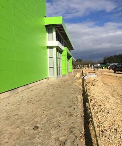
15047 Airline Hwy
Baton Rouge, LA
8 3 C
20009-757
5.42 ACRES SE1/4 SEC. 1-9-2, LOT 1 1.30 ACRES M/L SW1/4 SEC. 6-9-3 & SE1/4 SEC. 1-9-2, LOT 2 NEIGHBORHOOD WALMART
Commercialnec
Ascension
A
Louisiana
22063C0350E
1
2024
6.72 AC
2024
Ascension Parish
030212
Baton Rouge
DEMOGRAPHICS near 15047 Airline Hwy
1 Mile
3 Mile
5 Mile
2024 Total Population
5,602
43,001
90,492
2029 Population
6,027
46,585
97,911
Pop Growth 2024-2029
+ 7.59%
+ 8.33%
+ 8.20%
Average Age
36
37
37
2024 Total Households
1,977
15,150
32,462
HH Growth 2024-2029
+ 7.84%
+ 8.51%
+ 8.42%
Median Household Inc
$70,950
$81,880
$78,594
Avg Household Size
2.80
2.80
2.70
2024 Avg HH Vehicles
2.00
2.00
2.00
Median Home Value
$233,651
$242,853
$243,736
Median Year Built
2000
2003
2002
Nearby Places
Map Layers
Map Styles
 Street
 Aerial
- Restaurants
- Banks
- Shops
- Fitness
- Groceries
PUBLIC TRANSPORTATION
AIRPORT
Baton Rouge Metro Ryan Field
DRIVE
WALK
Distance
Baton Rouge Metro Ryan Field
32 min
21.7 mi
Freight Ports
Port of Greater Baton Rouge
DRIVE
WALK
Distance
Port of Greater Baton Rouge
31 min
22.8 mi
SALE & LEASE HISTORY
LISTING DATE
SALE/LEASE

Jan 27, 2017
For Sale
Nearby Properties
Address
Land Use
TOTAL SIZE
Lot Size
Zoning
Address
Land Use
TOTAL SIZE
Lot Size
Zoning
49.67 AC
RM
Address
Land Use
TOTAL SIZE
Lot Size
Zoning
Address
Land Use
TOTAL SIZE
Lot Size
Zoning
17.88 AC
Address
Land Use
TOTAL SIZE
Lot Size
Zoning
13.17 AC
RM
Address
Land Use
TOTAL SIZE
Lot Size
Zoning
19.36 AC
RM
Address
Land Use
TOTAL SIZE
Lot Size
Zoning
22.60 AC
RM
Address
Land Use
TOTAL SIZE
Lot Size
Zoning
8.05 AC
MU2
Address
Land Use
TOTAL SIZE
Lot Size
Zoning
11.15 AC
MU2
Address
Land Use
TOTAL SIZE
Lot Size
Zoning
19.93 AC
RM
Address
Land Use
TOTAL SIZE
Lot Size
Zoning
23.87 AC
RM
Address
Land Use
TOTAL SIZE
Lot Size
Zoning
9.91 AC
MU
Address
Land Use
TOTAL SIZE
Lot Size
Zoning
13 AC
MU
Address
Land Use
TOTAL SIZE
Lot Size
Zoning
29.97 AC
RM
Address
Land Use
TOTAL SIZE
Lot Size
Zoning
5.41 AC
MU
Address
Land Use
TOTAL SIZE
Lot Size
Zoning
26.84 AC
RM
Address
Land Use
TOTAL SIZE
Lot Size
Zoning
4.76 AC
MU2
Address
Land Use
TOTAL SIZE
Lot Size
Zoning
Address
Land Use
TOTAL SIZE
Lot Size
Zoning
2.74 AC
MU2
Address
Land Use
TOTAL SIZE
Lot Size
Zoning
5.61 AC
MU
Address
Land Use
TOTAL SIZE
Lot Size
Zoning
1.38 AC
MU2
Address
Land Use
TOTAL SIZE
Lot Size
Zoning
Address
Land Use
TOTAL SIZE
Lot Size
Zoning
Address
Land Use
TOTAL SIZE
Lot Size
Zoning
2.76 AC
MU
Address
Land Use
TOTAL SIZE
Lot Size
Zoning
2.57 AC
MU
Address
Land Use
TOTAL SIZE
Lot Size
Zoning
3.12 AC
MU
Address
Land Use
TOTAL SIZE
Lot Size
Zoning
5.14 AC
MU
Address
Land Use
TOTAL SIZE
Lot Size
Zoning
10,977 SF
66.80 AC
Address
Land Use
TOTAL SIZE
Lot Size
Zoning
2.81 AC
RM
The World's #1 Commercial Real Estate Marketplace
Connect with us
© 2026 CoStar Group
The information above has been obtained from sources believed reliable. While we do not doubt its accuracy we have not verified it and make no guarantee, warranty or representation about it. It is your responsibility to independently confirm its accuracy and completeness. Any projections, opinions, assumptions, or estimates used are for example only and do not represent the current or future performance of the property. The value of this transaction to you depends on tax and other factors which should be evaluated by your tax, financial, and legal advisors. You and your advisors should conduct a careful, independent investigation of the property to determine to your satisfaction the suitability of the property for your needs.