Property Record
1505 S Washington St, North Attleboro, MA 02760

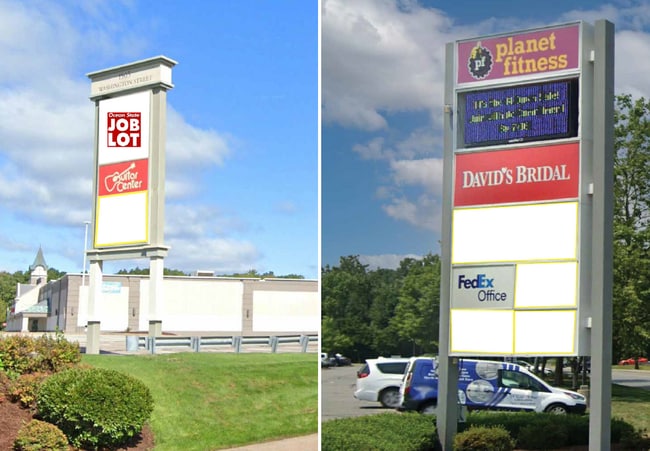
NEARBY LISTINGS FOR SALE OR LEASE
Property Detail
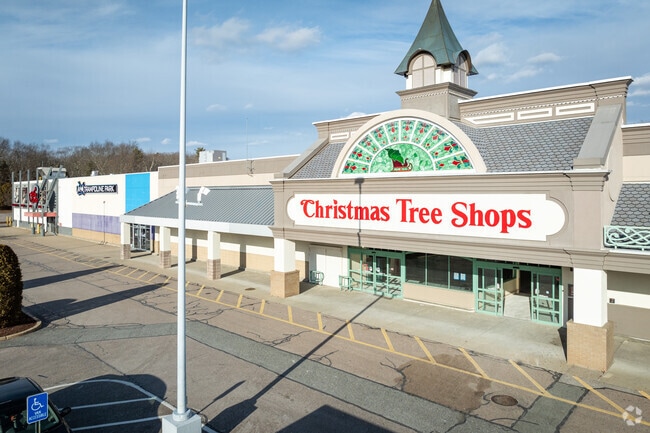
1505 S Washington St
Regionalshoppingcenterormallwithanchorstore
Bristol
A
Massachusetts
25005C0111G
12.02 AC
2025
Attleboro/New Bedford
2025
Boston
630400
Providence-Warwick, RI-MA
97,027 SF
NATT-000027-000055
DEMOGRAPHICS near 1505 S Washington St
1 Mile
3 Mile
5 Mile
2024 Total Population
2,424
51,163
189,408
2029 Population
2,411
50,740
187,519
Pop Growth 2024-2029
(0.54%)
(0.83%)
(1.00%)
Average Age
40
42
40
2024 Total Households
820
19,966
75,063
HH Growth 2024-2029
(0.61%)
(0.93%)
(1.06%)
Median Household Inc
$123,407
$94,844
$72,302
Avg Household Size
2.90
2.50
2.40
2024 Avg HH Vehicles
2.00
2.00
2.00
Median Home Value
$450,499
$362,016
$347,153
Median Year Built
1986
1970
1960
Nearby Places
Map Layers
Map Styles
 Street
 Aerial
- Restaurants
- Banks
- Shops
- Fitness
- Groceries
PUBLIC TRANSPORTATION
COMMUTER RAIL
South Attleboro (Providence/Stoughton Line - Massachusetts Bay Transportation Authority Commuter Rail (Purple Line))
DRIVE
WALK
Distance
South Attleboro (Providence/Stoughton Line - Massachusetts Bay Transportation Authority Commuter Rail (Purple Line))
6 min
2.7 mi
DRIVE
WALK
Distance
10 min
4.9 mi
AIRPORT
Rhode Island Tf Green International
DRIVE
WALK
Distance
Rhode Island Tf Green International
33 min
18.1 mi
General Edward Lawrence Logan International
DRIVE
WALK
Distance
General Edward Lawrence Logan International
61 min
43.8 mi
SALE & LEASE HISTORY
LISTING DATE
SALE/LEASE

Sep 25, 2016
For Lease
Dec 31, 2019
For Lease
Nearby Properties
Address
Land Use
TOTAL SIZE
Lot Size
Zoning
Address
Land Use
TOTAL SIZE
Lot Size
Zoning
28,208 SF
38.19 AC
PHB
Address
Land Use
TOTAL SIZE
Lot Size
Zoning
741,896 SF
27.75 AC
GU
Address
Land Use
TOTAL SIZE
Lot Size
Zoning
64.31 AC
C60
Address
Land Use
TOTAL SIZE
Lot Size
Zoning
17,782 SF
25.60 AC
Address
Land Use
TOTAL SIZE
Lot Size
Zoning
Address
Land Use
TOTAL SIZE
Lot Size
Zoning
5,059 SF
217.41 AC
Address
Land Use
TOTAL SIZE
Lot Size
Zoning
14,841 SF
15.70 AC
PHB
Address
Land Use
TOTAL SIZE
Lot Size
Zoning
10,920 SF
11.03 AC
Address
Land Use
TOTAL SIZE
Lot Size
Zoning
190,458 SF
16.30 AC
C60
Address
Land Use
TOTAL SIZE
Lot Size
Zoning
112,766 SF
31.06 AC
Address
Land Use
TOTAL SIZE
Lot Size
Zoning
341,251 SF
16.22 AC
60
Address
Land Use
TOTAL SIZE
Lot Size
Zoning
115,258 SF
10.08 AC
100
Address
Land Use
TOTAL SIZE
Lot Size
Zoning
105,878 SF
12.05 AC
C60
Address
Land Use
TOTAL SIZE
Lot Size
Zoning
8.29 AC
R10
Address
Land Use
TOTAL SIZE
Lot Size
Zoning
189,308 SF
19.76 AC
I
Address
Land Use
TOTAL SIZE
Lot Size
Zoning
155,731 SF
41.03 AC
PHB
Address
Land Use
TOTAL SIZE
Lot Size
Zoning
126,073 SF
22.90 AC
C60
Address
Land Use
TOTAL SIZE
Lot Size
Zoning
27,264 SF
6.20 AC
Address
Land Use
TOTAL SIZE
Lot Size
Zoning
90,812 SF
12.39 AC
Address
Land Use
TOTAL SIZE
Lot Size
Zoning
89,242 SF
14.65 AC
C60
Address
Land Use
TOTAL SIZE
Lot Size
Zoning
100,019 SF
10.37 AC
120
Address
Land Use
TOTAL SIZE
Lot Size
Zoning
11.87 AC
C60
Address
Land Use
TOTAL SIZE
Lot Size
Zoning
116,540 SF
9.70 AC
PHB
Address
Land Use
TOTAL SIZE
Lot Size
Zoning
101 AC
90
Address
Land Use
TOTAL SIZE
Lot Size
Zoning
53,375 SF
10.14 AC
IC30
Address
Land Use
TOTAL SIZE
Lot Size
Zoning
7,364 SF
8.60 AC
Address
Land Use
TOTAL SIZE
Lot Size
Zoning
182,578 SF
8.09 AC
GU
Address
Land Use
TOTAL SIZE
Lot Size
Zoning
115,130 SF
16.55 AC
Address
Land Use
TOTAL SIZE
Lot Size
Zoning
85,632 SF
10.25 AC
The World's #1 Commercial Real Estate Marketplace
Connect with us
© 2025 CoStar Group
The information above has been obtained from sources believed reliable. While we do not doubt its accuracy we have not verified it and make no guarantee, warranty or representation about it. It is your responsibility to independently confirm its accuracy and completeness. Any projections, opinions, assumptions, or estimates used are for example only and do not represent the current or future performance of the property. The value of this transaction to you depends on tax and other factors which should be evaluated by your tax, financial, and legal advisors. You and your advisors should conduct a careful, independent investigation of the property to determine to your satisfaction the suitability of the property for your needs.