Property Record
15051 Rowlee Rd, Wasco, CA 93280
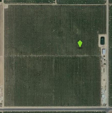
Property Detail
15051 Rowlee Rd
Bakersfield-Delano, CA
SECTION 3 , TOWNSHIP 27 , RANGE 23 , QUARTER
069-261-10-00-3
KERN
Orchard
California
A
3
B and X Area of moderate flood hazard, usually the area between the limits of the 100-year and 500-year floods.
63.64 AC
2024
NW Outlying Kern County
2025
Bakersfield
004500
NEARBY LISTINGS FOR SALE OR LEASE
-
-
View all Wasco listings for sale on LoopNet.com
DEMOGRAPHICS near 15051 Rowlee Rd
1 mile
3 mile
5 mile
2025 Total Population
19
128
535
2030 Population
19
128
534
Pop Growth 2025-2030
0.00%
0.00%
(0.19%)
Average Age
30
31
31
2025 Total Households
5
31
130
HH Growth 2025-2030
0.00%
0.00%
0.00%
Median Household Inc
$99,999
$62,500
$66,250
Avg Household Size
4.00
4.10
4.10
2025 Avg HH Vehicles
2.00
2.00
2.00
Median Home Value
$350,000
$350,000
$355,555
Median Year Built
1969
1976
1977
Nearby Places
Map Layers
Map Styles
 Street
 Aerial
Transit
 Traffic
 Biking
Places
Listings with unknown addresses are not visible on the map
- Restaurants
- Banks
- Shops
- Fitness
- Groceries
PUBLIC TRANSPORTATION
AIRPORT
Meadows Field
Drive
Walk
Distance
Meadows Field
44 min
31.4 mi
Freight Ports
The Port of Hueneme
Drive
Walk
Distance
The Port of Hueneme
192 min
156.1 mi
Nearby Properties
Address
Land Use
TOTAL SIZE
Lot Size
Zoning
Address
Land Use
TOTAL SIZE
Lot Size
Zoning
78,865 SF
79.09 AC
A
Address
Land Use
TOTAL SIZE
Lot Size
Zoning
638.06 AC
A
Address
Land Use
TOTAL SIZE
Lot Size
Zoning
636.36 AC
A
Address
Land Use
TOTAL SIZE
Lot Size
Zoning
38.70 AC
Address
Land Use
TOTAL SIZE
Lot Size
Zoning
611.47 AC
A
Address
Land Use
TOTAL SIZE
Lot Size
Zoning
314.56 AC
A
Address
Land Use
TOTAL SIZE
Lot Size
Zoning
298.84 AC
A
Address
Land Use
TOTAL SIZE
Lot Size
Zoning
296.32 AC
A
Address
Land Use
TOTAL SIZE
Lot Size
Zoning
160.46 AC
A
Address
Land Use
TOTAL SIZE
Lot Size
Zoning
103.79 AC
Address
Land Use
TOTAL SIZE
Lot Size
Zoning
Address
Land Use
TOTAL SIZE
Lot Size
Zoning
20,094 SF
155.73 AC
A
Address
Land Use
TOTAL SIZE
Lot Size
Zoning
314.13 AC
A
Address
Land Use
TOTAL SIZE
Lot Size
Zoning
1,120 SF
150.03 AC
A
Address
Land Use
TOTAL SIZE
Lot Size
Zoning
149.80 AC
A
Address
Land Use
TOTAL SIZE
Lot Size
Zoning
131.65 AC
A
Address
Land Use
TOTAL SIZE
Lot Size
Zoning
157.48 AC
A
Address
Land Use
TOTAL SIZE
Lot Size
Zoning
155.14 AC
A
Address
Land Use
TOTAL SIZE
Lot Size
Zoning
20 AC
A
Address
Land Use
TOTAL SIZE
Lot Size
Zoning
160.79 AC
A
Address
Land Use
TOTAL SIZE
Lot Size
Zoning
1,297 SF
39.09 AC
A
Address
Land Use
TOTAL SIZE
Lot Size
Zoning
77.13 AC
The World's #1 Commercial Real Estate Marketplace
Connect with us
© 2026 CoStar Group
The information above has been obtained from sources believed reliable. While we do not doubt its accuracy we have not verified it and make no guarantee, warranty or representation about it. It is your responsibility to independently confirm its accuracy and completeness. Any projections, opinions, assumptions, or estimates used are for example only and do not represent the current or future performance of the property. The value of this transaction to you depends on tax and other factors which should be evaluated by your tax, financial, and legal advisors. You and your advisors should conduct a careful, independent investigation of the property to determine to your satisfaction the suitability of the property for your needs.