Property Record
1507 E Highway 281, , TX


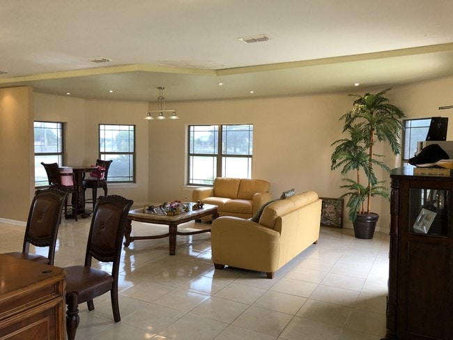

Property Detail
1507 E Highway 281
McAllen/Edinburg/Pharr
Sharon 2 (Svv)
McAllen-Edinburg-Mission, TX
SHARON 2 LOT 1
S2705-02-000-0001-00
Hidalgo
Commercialnec
Texas
2024
1
2025
4.71 AC
021311
Greater McAllen
2,738 SF
NEARBY LISTINGS FOR SALE OR LEASE
-
-
View all listings for sale on LoopNet.com
DEMOGRAPHICS near 1507 E Highway 281
1 mile
3 mile
5 mile
2024 Total Population
8,387
22,266
54,532
2029 Population
8,766
23,259
57,134
Pop Growth 2024-2029
+ 4.52%
+ 4.46%
+ 4.77%
Average Age
34
33
33
2024 Total Households
2,268
5,739
14,448
HH Growth 2024-2029
+ 4.41%
+ 4.36%
+ 4.66%
Median Household Inc
$40,042
$41,239
$40,532
Avg Household Size
3.70
3.80
3.60
2024 Avg HH Vehicles
2.00
2.00
2.00
Median Home Value
$132,604
$125,694
$115,616
Median Year Built
2000
2002
2002
Nearby Places
Map Layers
Map Styles
 Street
 Aerial
Transit
 Traffic
 Biking
Places
Listings with unknown addresses are not visible on the map
- Restaurants
- Banks
- Shops
- Fitness
- Groceries
PUBLIC TRANSPORTATION
AIRPORT
McAllen International
Drive
Walk
Distance
McAllen International
12 min
6.4 mi
Freight Ports
Port of Brownsville
Drive
Walk
Distance
Port of Brownsville
78 min
66.0 mi
SALE & LEASE HISTORY
LISTING DATE
SALE/LEASE

May 22, 2019
For Sale
May 20, 2019
For Sale
Nearby Properties
Address
Land Use
TOTAL SIZE
Lot Size
Zoning
Address
Land Use
TOTAL SIZE
Lot Size
Zoning
16,600 SF
23.27 AC
Address
Land Use
TOTAL SIZE
Lot Size
Zoning
73,920 SF
21.13 AC
Address
Land Use
TOTAL SIZE
Lot Size
Zoning
158,844 SF
36.09 AC
Address
Land Use
TOTAL SIZE
Lot Size
Zoning
19.09 AC
Address
Land Use
TOTAL SIZE
Lot Size
Zoning
128,660 SF
19.35 AC
Address
Land Use
TOTAL SIZE
Lot Size
Zoning
180,548 SF
21.62 AC
Address
Land Use
TOTAL SIZE
Lot Size
Zoning
1.89 AC
Address
Land Use
TOTAL SIZE
Lot Size
Zoning
210,045 SF
19.39 AC
RM
Address
Land Use
TOTAL SIZE
Lot Size
Zoning
73,446 SF
39.27 AC
Address
Land Use
TOTAL SIZE
Lot Size
Zoning
150,931 SF
12.56 AC
Address
Land Use
TOTAL SIZE
Lot Size
Zoning
131,496 SF
13.13 AC
RM
Address
Land Use
TOTAL SIZE
Lot Size
Zoning
159,480 SF
9.60 AC
Address
Land Use
TOTAL SIZE
Lot Size
Zoning
86,220 SF
40.55 AC
Address
Land Use
TOTAL SIZE
Lot Size
Zoning
1 SF
23.25 AC
Address
Land Use
TOTAL SIZE
Lot Size
Zoning
109,282 SF
6.95 AC
Address
Land Use
TOTAL SIZE
Lot Size
Zoning
143,420 SF
8.51 AC
Address
Land Use
TOTAL SIZE
Lot Size
Zoning
152,090 SF
8.13 AC
Address
Land Use
TOTAL SIZE
Lot Size
Zoning
67.56 AC
Address
Land Use
TOTAL SIZE
Lot Size
Zoning
134,400 SF
9.12 AC
IN
Address
Land Use
TOTAL SIZE
Lot Size
Zoning
1 SF
2.07 AC
Address
Land Use
TOTAL SIZE
Lot Size
Zoning
84,756 SF
5.89 AC
Address
Land Use
TOTAL SIZE
Lot Size
Zoning
185,558 SF
4.71 AC
Address
Land Use
TOTAL SIZE
Lot Size
Zoning
99,402 SF
10 AC
Address
Land Use
TOTAL SIZE
Lot Size
Zoning
121,900 SF
6.71 AC
IN
Address
Land Use
TOTAL SIZE
Lot Size
Zoning
71,292 SF
7.52 AC
Address
Land Use
TOTAL SIZE
Lot Size
Zoning
50,322 SF
8.39 AC
Address
Land Use
TOTAL SIZE
Lot Size
Zoning
133,543 SF
10.50 AC
CO
Address
Land Use
TOTAL SIZE
Lot Size
Zoning
30.02 AC
Address
Land Use
TOTAL SIZE
Lot Size
Zoning
109,592 SF
7.61 AC
Address
Land Use
TOTAL SIZE
Lot Size
Zoning
94,920 SF
5 AC
The World's #1 Commercial Real Estate Marketplace
Connect with us
© 2026 CoStar Group
The information above has been obtained from sources believed reliable. While we do not doubt its accuracy we have not verified it and make no guarantee, warranty or representation about it. It is your responsibility to independently confirm its accuracy and completeness. Any projections, opinions, assumptions, or estimates used are for example only and do not represent the current or future performance of the property. The value of this transaction to you depends on tax and other factors which should be evaluated by your tax, financial, and legal advisors. You and your advisors should conduct a careful, independent investigation of the property to determine to your satisfaction the suitability of the property for your needs.