Property Record
151 S Industrial Dr, Saline, MI 48176

NEARBY LISTINGS FOR SALE OR LEASE
Property Detail
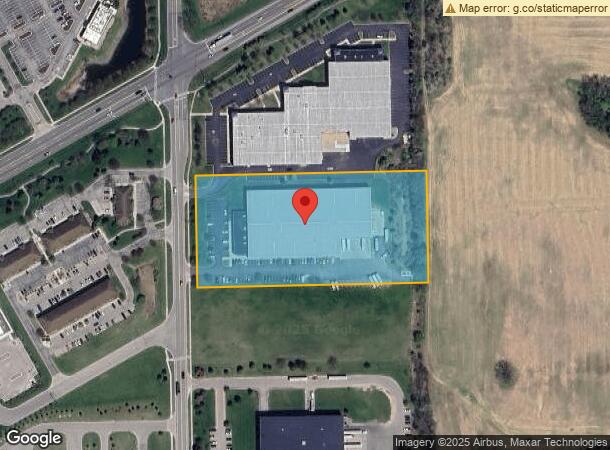
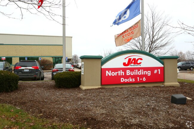
151 S Industrial Dr
Ann Arbor, MI
Sauk Trail Bus Park
12-31-480-002
NEW PLAT LOT 2 SAUK TRAIL BUSINESS PARK SPLIT ON 11/27/2001 ACT 425 CONDITIONAL TRANSFER RETURN TO TWP IN 2040*** FROM
Industrialgeneral
Washtenaw
X
Michigan
26161C0392E
2
2025
5 AC
2025
Washtenaw W of 23
423400
Detroit
69,916 SF
DEMOGRAPHICS near 151 S Industrial Dr
1 Mile
3 Mile
5 Mile
2024 Total Population
1,122
22,663
51,142
2029 Population
1,118
22,409
50,635
Pop Growth 2024-2029
(0.36%)
(1.12%)
(0.99%)
Average Age
42
42
41
2024 Total Households
492
8,656
20,202
HH Growth 2024-2029
(0.41%)
(1.21%)
(1.16%)
Median Household Inc
$69,198
$114,297
$96,574
Avg Household Size
2.30
2.60
2.40
2024 Avg HH Vehicles
2.00
2.00
2.00
Median Home Value
$296,103
$406,698
$385,129
Median Year Built
1975
1988
1989
Nearby Places
Map Layers
Map Styles
 Street
 Aerial
- Restaurants
- Banks
- Shops
- Fitness
- Groceries
PUBLIC TRANSPORTATION
AIRPORT
Detroit Metro Wayne County
DRIVE
WALK
Distance
Detroit Metro Wayne County
38 min
27.6 mi
SALE & LEASE HISTORY
LISTING DATE
SALE/LEASE

Mar 09, 2020
For Lease
Mar 09, 2020
For Sale
Nearby Properties
Address
Land Use
TOTAL SIZE
Lot Size
Zoning
Address
Land Use
TOTAL SIZE
Lot Size
Zoning
140,039 SF
Address
Land Use
TOTAL SIZE
Lot Size
Zoning
253,702 SF
30.23 AC
Address
Land Use
TOTAL SIZE
Lot Size
Zoning
167,294 SF
40.67 AC
Address
Land Use
TOTAL SIZE
Lot Size
Zoning
105,615 SF
26.31 AC
Address
Land Use
TOTAL SIZE
Lot Size
Zoning
283,484 SF
22.64 AC
R-3
Address
Land Use
TOTAL SIZE
Lot Size
Zoning
1,562,480 SF
189.08 AC
I-4
Address
Land Use
TOTAL SIZE
Lot Size
Zoning
191,215 SF
30.23 AC
Address
Land Use
TOTAL SIZE
Lot Size
Zoning
99,663 SF
6.89 AC
R-1A
Address
Land Use
TOTAL SIZE
Lot Size
Zoning
88,657 SF
14.98 AC
Address
Land Use
TOTAL SIZE
Lot Size
Zoning
255,838 SF
31.64 AC
II
Address
Land Use
TOTAL SIZE
Lot Size
Zoning
99,000 SF
12.22 AC
I-2
Address
Land Use
TOTAL SIZE
Lot Size
Zoning
76,204 SF
12.41 AC
Address
Land Use
TOTAL SIZE
Lot Size
Zoning
60,362 SF
7.69 AC
Address
Land Use
TOTAL SIZE
Lot Size
Zoning
140,284 SF
6.83 AC
I-2
Address
Land Use
TOTAL SIZE
Lot Size
Zoning
84,415 SF
9.96 AC
II
Address
Land Use
TOTAL SIZE
Lot Size
Zoning
68,866 SF
24.96 AC
II
Address
Land Use
TOTAL SIZE
Lot Size
Zoning
65,899 SF
6.37 AC
R-3
Address
Land Use
TOTAL SIZE
Lot Size
Zoning
60,568 SF
7.69 AC
Address
Land Use
TOTAL SIZE
Lot Size
Zoning
179,324 SF
14.91 AC
I-2
Address
Land Use
TOTAL SIZE
Lot Size
Zoning
105,418 SF
9.47 AC
I-2
Address
Land Use
TOTAL SIZE
Lot Size
Zoning
86,859 SF
12.33 AC
SPA-1
Address
Land Use
TOTAL SIZE
Lot Size
Zoning
53,876 SF
SPA-1
Address
Land Use
TOTAL SIZE
Lot Size
Zoning
47,362 SF
5.70 AC
Address
Land Use
TOTAL SIZE
Lot Size
Zoning
135,417 SF
8.19 AC
I-2
Address
Land Use
TOTAL SIZE
Lot Size
Zoning
164.43 AC
RPD
Address
Land Use
TOTAL SIZE
Lot Size
Zoning
181.03 AC
RPD
Address
Land Use
TOTAL SIZE
Lot Size
Zoning
8.80 AC
I-2
Address
Land Use
TOTAL SIZE
Lot Size
Zoning
46,698 SF
5.28 AC
Address
Land Use
TOTAL SIZE
Lot Size
Zoning
33,000 SF
I-2
Address
Land Use
TOTAL SIZE
Lot Size
Zoning
51,843 SF
13.35 AC
The World's #1 Commercial Real Estate Marketplace
Connect with us
© 2025 CoStar Group
The information above has been obtained from sources believed reliable. While we do not doubt its accuracy we have not verified it and make no guarantee, warranty or representation about it. It is your responsibility to independently confirm its accuracy and completeness. Any projections, opinions, assumptions, or estimates used are for example only and do not represent the current or future performance of the property. The value of this transaction to you depends on tax and other factors which should be evaluated by your tax, financial, and legal advisors. You and your advisors should conduct a careful, independent investigation of the property to determine to your satisfaction the suitability of the property for your needs.