Property Record
151 South Rd, Gilmanton, NH 03237

NEARBY LISTINGS FOR SALE OR LEASE
-
-
View all Gilmanton listings for sale on LoopNet.com
Property Detail
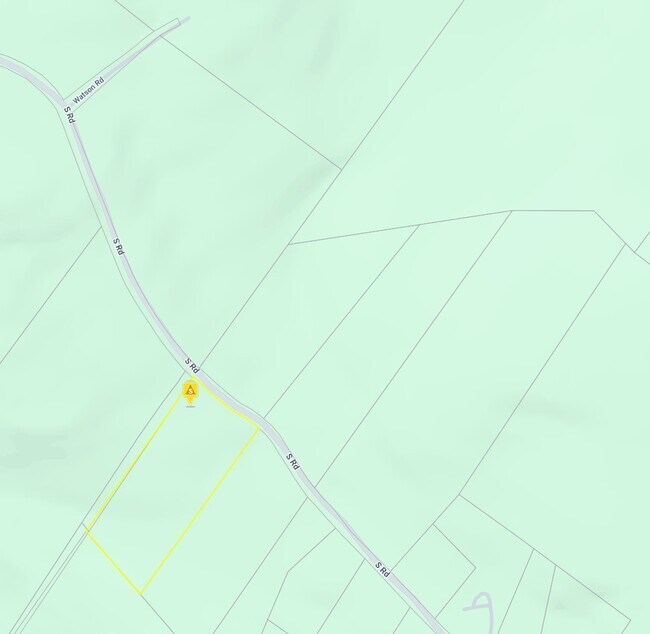
151 South Rd
Laconia, NH
Belknap
GILM-000412-000000-004000
New Hampshire
Commercialbuilding
4000
2024
8.26 AC
2024
Concord/New Hampshire North Area
965600
Other Market Areas
5,760 SF
DEMOGRAPHICS near 151 South Rd
1 Mile
3 Mile
5 Mile
2024 Total Population
143
3,607
8,331
2029 Population
148
3,659
8,476
Pop Growth 2024-2029
+ 3.50%
+ 1.44%
+ 1.74%
Average Age
45
44
43
2024 Total Households
54
1,409
3,263
HH Growth 2024-2029
+ 3.70%
+ 0.99%
+ 1.32%
Median Household Inc
$97,916
$79,755
$80,256
Avg Household Size
2.50
2.50
2.50
2024 Avg HH Vehicles
2.00
2.00
2.00
Median Home Value
$328,571
$255,756
$262,140
Median Year Built
1979
1980
1981
Nearby Places
Map Layers
Map Styles
 Street
 Aerial
- Restaurants
- Banks
- Shops
- Fitness
- Groceries
PUBLIC TRANSPORTATION
AIRPORT
Manchester Boston Regional
DRIVE
WALK
Distance
Manchester Boston Regional
64 min
41.4 mi
Nearby Properties
Address
Land Use
TOTAL SIZE
Lot Size
Zoning
Address
Land Use
TOTAL SIZE
Lot Size
Zoning
99,548 SF
36.88 AC
RESM
Address
Land Use
TOTAL SIZE
Lot Size
Zoning
896 SF
9.50 AC
IND
Address
Land Use
TOTAL SIZE
Lot Size
Zoning
31,818 SF
23.86 AC
VIL
Address
Land Use
TOTAL SIZE
Lot Size
Zoning
45,997 SF
55 AC
RESM
Address
Land Use
TOTAL SIZE
Lot Size
Zoning
619 SF
71.80 AC
RESM
Address
Land Use
TOTAL SIZE
Lot Size
Zoning
76,632 SF
7.92 AC
IND
Address
Land Use
TOTAL SIZE
Lot Size
Zoning
1,146 SF
19.40 AC
RESM
Address
Land Use
TOTAL SIZE
Lot Size
Zoning
6,304 SF
4.79 AC
VIL
Address
Land Use
TOTAL SIZE
Lot Size
Zoning
28,499 SF
23.76 AC
IND
Address
Land Use
TOTAL SIZE
Lot Size
Zoning
9.06 AC
BUS B
Address
Land Use
TOTAL SIZE
Lot Size
Zoning
43,751 SF
3.06 AC
IND
Address
Land Use
TOTAL SIZE
Lot Size
Zoning
4,608 SF
4.50 AC
VIL
Address
Land Use
TOTAL SIZE
Lot Size
Zoning
36,508 SF
6.58 AC
IND
Address
Land Use
TOTAL SIZE
Lot Size
Zoning
6,201 SF
0.78 AC
COM
Address
Land Use
TOTAL SIZE
Lot Size
Zoning
6,444 SF
1.40 AC
VIL
Address
Land Use
TOTAL SIZE
Lot Size
Zoning
10,611 SF
1.03 AC
VIL
Address
Land Use
TOTAL SIZE
Lot Size
Zoning
1.30 AC
VIL V
Address
Land Use
TOTAL SIZE
Lot Size
Zoning
4,469 SF
2.94 AC
RESM
Address
Land Use
TOTAL SIZE
Lot Size
Zoning
7,106 SF
3.01 AC
VIL V
Address
Land Use
TOTAL SIZE
Lot Size
Zoning
8,000 SF
2.27 AC
IND
Address
Land Use
TOTAL SIZE
Lot Size
Zoning
15,916 SF
4.94 AC
IND
Address
Land Use
TOTAL SIZE
Lot Size
Zoning
9,150 SF
1.15 AC
COM
Address
Land Use
TOTAL SIZE
Lot Size
Zoning
3,893 SF
0.26 AC
VIL
Address
Land Use
TOTAL SIZE
Lot Size
Zoning
3,360 SF
3.69 AC
VIL
Address
Land Use
TOTAL SIZE
Lot Size
Zoning
20,000 SF
3.46 AC
IND
Address
Land Use
TOTAL SIZE
Lot Size
Zoning
5,530 SF
2.54 AC
RUR R
Address
Land Use
TOTAL SIZE
Lot Size
Zoning
3,762 SF
3.85 AC
VIL
Address
Land Use
TOTAL SIZE
Lot Size
Zoning
1.76 AC
Address
Land Use
TOTAL SIZE
Lot Size
Zoning
867 SF
0.57 AC
RUR RO
Address
Land Use
TOTAL SIZE
Lot Size
Zoning
5,122 SF
5.60 AC
RUR R
The World's #1 Commercial Real Estate Marketplace
Connect with us
© 2025 CoStar Group
The information above has been obtained from sources believed reliable. While we do not doubt its accuracy we have not verified it and make no guarantee, warranty or representation about it. It is your responsibility to independently confirm its accuracy and completeness. Any projections, opinions, assumptions, or estimates used are for example only and do not represent the current or future performance of the property. The value of this transaction to you depends on tax and other factors which should be evaluated by your tax, financial, and legal advisors. You and your advisors should conduct a careful, independent investigation of the property to determine to your satisfaction the suitability of the property for your needs.