Property Record
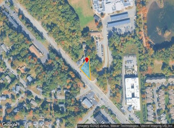
1510 Hamburg Tpke, Wayne, NJ 07470


NEARBY LISTINGS FOR SALE OR LEASE
Property Detail
1510 Hamburg Tpke
14-03207-0000-00015
Passaic
Officebuilding
New Jersey
X
15
34027C0184F
0.29 AC
2024
Passaic Rt 46/23
2025
Northern New Jersey
246003
New York-Jersey City-White Plains, NY-NJ
3,540 SF
DEMOGRAPHICS near 1510 Hamburg Tpke
1 mile
3 mile
5 mile
2024 Total Population
9,368
65,865
199,643
2029 Population
9,268
65,550
197,058
Pop Growth 2024-2029
(1.07%)
(0.48%)
(1.29%)
Average Age
42
42
42
2024 Total Households
3,125
23,083
69,350
HH Growth 2024-2029
(1.44%)
(0.69%)
(1.35%)
Median Household Inc
$137,789
$136,297
$111,730
Avg Household Size
2.90
2.80
2.80
2024 Avg HH Vehicles
2.00
2.00
2.00
Median Home Value
$620,788
$559,690
$482,357
Median Year Built
1969
1965
1964
Nearby Places
Map Layers
Map Styles
 Street
 Aerial
Transit
 Traffic
 Biking
Places
Listings with unknown addresses are not visible on the map
- Restaurants
- Banks
- Shops
- Fitness
- Groceries
PUBLIC TRANSPORTATION
COMMUTER RAIL
Mountain View (Montclair-Boonton Line - NJ Transit Commuter Rail (NJ Transit))
Drive
Walk
Distance
Mountain View (Montclair-Boonton Line - NJ Transit Commuter Rail (NJ Transit))
9 min
5.1 mi
Lincoln Park (Montclair-Boonton Line - NJ Transit Commuter Rail (NJ Transit))
Drive
Walk
Distance
Lincoln Park (Montclair-Boonton Line - NJ Transit Commuter Rail (NJ Transit))
12 min
5.3 mi
AIRPORT
Newark Liberty International
Drive
Walk
Distance
Newark Liberty International
35 min
27.3 mi
LaGuardia
Drive
Walk
Distance
LaGuardia
49 min
31.6 mi
Westchester County
Drive
Walk
Distance
Westchester County
65 min
46.3 mi
Freight Ports
Maher Terminal
Drive
Walk
Distance
Maher Terminal
43 min
27.6 mi
Nearby Properties
Address
Land Use
TOTAL SIZE
Lot Size
Zoning
Address
Land Use
TOTAL SIZE
Lot Size
Zoning
21.99 AC
H
Address
Land Use
TOTAL SIZE
Lot Size
Zoning
10.88 AC
Address
Land Use
TOTAL SIZE
Lot Size
Zoning
18.76 AC
C-3
Address
Land Use
TOTAL SIZE
Lot Size
Zoning
32.21 AC
R-15
Address
Land Use
TOTAL SIZE
Lot Size
Zoning
5.01 AC
IP
Address
Land Use
TOTAL SIZE
Lot Size
Zoning
334,755 SF
107.89 AC
Address
Land Use
TOTAL SIZE
Lot Size
Zoning
540 SF
39.25 AC
Address
Land Use
TOTAL SIZE
Lot Size
Zoning
8.07 AC
IP
Address
Land Use
TOTAL SIZE
Lot Size
Zoning
41.71 AC
C-4
Address
Land Use
TOTAL SIZE
Lot Size
Zoning
79,562 SF
10.33 AC
AHO3
Address
Land Use
TOTAL SIZE
Lot Size
Zoning
67,668 SF
9.75 AC
B
Address
Land Use
TOTAL SIZE
Lot Size
Zoning
145,949 SF
50 AC
Address
Land Use
TOTAL SIZE
Lot Size
Zoning
277,661 SF
50.20 AC
Address
Land Use
TOTAL SIZE
Lot Size
Zoning
63,460 SF
10.72 AC
Address
Land Use
TOTAL SIZE
Lot Size
Zoning
864 SF
296 AC
R-A
Address
Land Use
TOTAL SIZE
Lot Size
Zoning
213,935 SF
39.47 AC
Address
Land Use
TOTAL SIZE
Lot Size
Zoning
259,919 SF
48.14 AC
Address
Land Use
TOTAL SIZE
Lot Size
Zoning
9.08 AC
H-C
Address
Land Use
TOTAL SIZE
Lot Size
Zoning
25.80 AC
Address
Land Use
TOTAL SIZE
Lot Size
Zoning
9.28 AC
R-11
Address
Land Use
TOTAL SIZE
Lot Size
Zoning
10.07 AC
R-15
Address
Land Use
TOTAL SIZE
Lot Size
Zoning
219,168 SF
30.02 AC
Address
Land Use
TOTAL SIZE
Lot Size
Zoning
12.24 AC
H-C
Address
Land Use
TOTAL SIZE
Lot Size
Zoning
6 AC
IP
Address
Land Use
TOTAL SIZE
Lot Size
Zoning
8.87 AC
RA1
Address
Land Use
TOTAL SIZE
Lot Size
Zoning
6.30 AC
I-2
Address
Land Use
TOTAL SIZE
Lot Size
Zoning
2,372 SF
5 AC
IP
Address
Land Use
TOTAL SIZE
Lot Size
Zoning
13,856 SF
5.93 AC
Address
Land Use
TOTAL SIZE
Lot Size
Zoning
1,600 SF
11.60 AC
OB
Address
Land Use
TOTAL SIZE
Lot Size
Zoning
1,197.68 AC
The World's #1 Commercial Real Estate Marketplace
Connect with us
© 2026 CoStar Group
The information above has been obtained from sources believed reliable. While we do not doubt its accuracy we have not verified it and make no guarantee, warranty or representation about it. It is your responsibility to independently confirm its accuracy and completeness. Any projections, opinions, assumptions, or estimates used are for example only and do not represent the current or future performance of the property. The value of this transaction to you depends on tax and other factors which should be evaluated by your tax, financial, and legal advisors. You and your advisors should conduct a careful, independent investigation of the property to determine to your satisfaction the suitability of the property for your needs.