Property Record
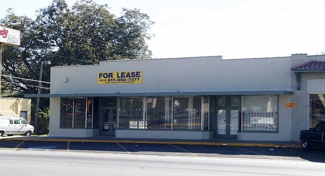
1511 Nw 25Th St, Fort Worth, TX 76164

Property Detail
1511 Nw 25Th St
Dallas-Fort Worth-Arlington, TX
ROSEN HEIGHTS FIRST FILING BLOCK 22 LOT 22 23 & 24
02525607
TARRANT
Commercialnec
Texas
B and X Area of moderate flood hazard, usually the area between the limits of the 100-year and 500-year floods.
22
2025
0.48 AC
2025
Northwest Ft Worth
100402
Dallas/Ft Worth
8,625 SF
NEARBY LISTINGS FOR SALE OR LEASE
DEMOGRAPHICS near 1511 Nw 25Th St
1 mile
3 mile
5 mile
2025 Total Population
19,703
96,101
236,030
2030 Population
20,753
101,846
251,172
Pop Growth 2025-2030
+ 5.33%
+ 5.98%
+ 6.42%
Average Age
35
36
37
2025 Total Households
5,542
34,739
84,939
HH Growth 2025-2030
+ 5.47%
+ 6.56%
+ 6.71%
Median Household Inc
$56,959
$60,595
$68,327
Avg Household Size
3.40
2.70
2.60
2025 Avg HH Vehicles
2.00
2.00
2.00
Median Home Value
$180,185
$214,679
$277,560
Median Year Built
1951
1971
1979
Nearby Places
Map Layers
Map Styles
 Street
 Aerial
Layers
 Traffic
 Biking
Places
Listings with unknown addresses are not visible on the map
- Restaurants
- Banks
- Shops
- Fitness
- Groceries
PUBLIC TRANSPORTATION
COMMUTER RAIL
Drive
Walk
Distance
10 min
4.5 mi
Drive
Walk
Distance
10 min
4.5 mi
AIRPORT
Dallas-Fort Worth International
Drive
Walk
Distance
Dallas-Fort Worth International
38 min
27.3 mi
Dallas Love Field
Drive
Walk
Distance
Dallas Love Field
49 min
35.9 mi
Nearby Properties
Address
Land Use
TOTAL SIZE
Lot Size
Zoning
Address
Land Use
TOTAL SIZE
Lot Size
Zoning
133,700 SF
6.29 AC
Address
Land Use
TOTAL SIZE
Lot Size
Zoning
773,033 SF
2.11 AC
Address
Land Use
TOTAL SIZE
Lot Size
Zoning
508,378 SF
6.02 AC
Address
Land Use
TOTAL SIZE
Lot Size
Zoning
205,807 SF
3.19 AC
Address
Land Use
TOTAL SIZE
Lot Size
Zoning
774,327 SF
11.86 AC
Address
Land Use
TOTAL SIZE
Lot Size
Zoning
1,719,136 SF
18.18 AC
Address
Land Use
TOTAL SIZE
Lot Size
Zoning
586,500 SF
159.54 AC
Address
Land Use
TOTAL SIZE
Lot Size
Zoning
537,395 SF
2.82 AC
Address
Land Use
TOTAL SIZE
Lot Size
Zoning
788,621 SF
6.39 AC
Address
Land Use
TOTAL SIZE
Lot Size
Zoning
336,310 SF
2.85 AC
Address
Land Use
TOTAL SIZE
Lot Size
Zoning
487,426 SF
4.18 AC
Address
Land Use
TOTAL SIZE
Lot Size
Zoning
469,191 SF
4.20 AC
Address
Land Use
TOTAL SIZE
Lot Size
Zoning
419,815 SF
10.26 AC
Address
Land Use
TOTAL SIZE
Lot Size
Zoning
581,601 SF
3.77 AC
Address
Land Use
TOTAL SIZE
Lot Size
Zoning
1,009,800 SF
49.98 AC
Address
Land Use
TOTAL SIZE
Lot Size
Zoning
462,036 SF
5.40 AC
Address
Land Use
TOTAL SIZE
Lot Size
Zoning
627,866 SF
6.85 AC
Address
Land Use
TOTAL SIZE
Lot Size
Zoning
442,989 SF
7.15 AC
Address
Land Use
TOTAL SIZE
Lot Size
Zoning
411,395 SF
12.24 AC
Address
Land Use
TOTAL SIZE
Lot Size
Zoning
378,038 SF
7.01 AC
Address
Land Use
TOTAL SIZE
Lot Size
Zoning
401,487 SF
6.16 AC
Address
Land Use
TOTAL SIZE
Lot Size
Zoning
257,308 SF
8.13 AC
Address
Land Use
TOTAL SIZE
Lot Size
Zoning
192,500 SF
0.92 AC
Address
Land Use
TOTAL SIZE
Lot Size
Zoning
595,372 SF
12.24 AC
Address
Land Use
TOTAL SIZE
Lot Size
Zoning
307,139 SF
14.02 AC
Address
Land Use
TOTAL SIZE
Lot Size
Zoning
220,000 SF
9.92 AC
Address
Land Use
TOTAL SIZE
Lot Size
Zoning
240,000 SF
0.16 AC
Address
Land Use
TOTAL SIZE
Lot Size
Zoning
287,804 SF
1.86 AC
Address
Land Use
TOTAL SIZE
Lot Size
Zoning
459,030 SF
4.84 AC
Address
Land Use
TOTAL SIZE
Lot Size
Zoning
180,612 SF
The World's #1 Commercial Real Estate Marketplace
Connect with us
© 2026 CoStar Group
The information above has been obtained from sources believed reliable. While we do not doubt its accuracy we have not verified it and make no guarantee, warranty or representation about it. It is your responsibility to independently confirm its accuracy and completeness. Any projections, opinions, assumptions, or estimates used are for example only and do not represent the current or future performance of the property. The value of this transaction to you depends on tax and other factors which should be evaluated by your tax, financial, and legal advisors. You and your advisors should conduct a careful, independent investigation of the property to determine to your satisfaction the suitability of the property for your needs.