Property Record
1515 Gummer Ave, Dayton, OH 45403
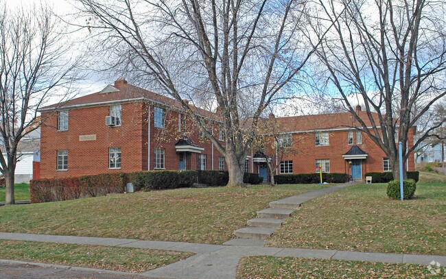

Property Detail
1515 Gummer Ave
Dayton, OH
Berkeley Heights
R72-04303-0057
15453 PT 43-3-58,43-3-57
Apartment
Montgomery
X
Ohio
39113C0169E
57
2024
0.20 AC
2025
Eastern Hills
002400
Cincinnati/Dayton
11,700 SF
NEARBY LISTINGS FOR SALE OR LEASE
DEMOGRAPHICS near 1515 Gummer Ave
1 mile
3 mile
5 mile
2024 Total Population
19,018
101,964
219,517
2029 Population
19,040
102,078
221,517
Pop Growth 2024-2029
+ 0.12%
+ 0.11%
+ 0.91%
Average Age
37
37
38
2024 Total Households
7,756
42,184
93,059
HH Growth 2024-2029
+ 0.01%
+ 0.03%
+ 0.90%
Median Household Inc
$39,314
$47,363
$51,960
Avg Household Size
2.30
2.20
2.20
2024 Avg HH Vehicles
2.00
2.00
2.00
Median Home Value
$60,104
$100,380
$135,198
Median Year Built
1948
1951
1956
Nearby Places
Map Layers
Map Styles
 Street
 Aerial
Transit
 Traffic
 Biking
Places
Listings with unknown addresses are not visible on the map
- Restaurants
- Banks
- Shops
- Fitness
- Groceries
PUBLIC TRANSPORTATION
AIRPORT
James M Cox Dayton International
Drive
Walk
Distance
James M Cox Dayton International
24 min
14.7 mi
Freight Ports
Port of Toledo
Drive
Walk
Distance
Port of Toledo
181 min
154.9 mi
Nearby Properties
Address
Land Use
TOTAL SIZE
Lot Size
Zoning
Address
Land Use
TOTAL SIZE
Lot Size
Zoning
1,570,433 SF
13.34 AC
Address
Land Use
TOTAL SIZE
Lot Size
Zoning
154,360 SF
19.35 AC
Address
Land Use
TOTAL SIZE
Lot Size
Zoning
634,753 SF
54 AC
Address
Land Use
TOTAL SIZE
Lot Size
Zoning
767,771 SF
1.32 AC
Address
Land Use
TOTAL SIZE
Lot Size
Zoning
414,094 SF
36.48 AC
Address
Land Use
TOTAL SIZE
Lot Size
Zoning
316.77 AC
Address
Land Use
TOTAL SIZE
Lot Size
Zoning
5.42 AC
Address
Land Use
TOTAL SIZE
Lot Size
Zoning
23.35 AC
Address
Land Use
TOTAL SIZE
Lot Size
Zoning
175,938 SF
49.33 AC
Address
Land Use
TOTAL SIZE
Lot Size
Zoning
375,053 SF
7.27 AC
Address
Land Use
TOTAL SIZE
Lot Size
Zoning
222,197 SF
1.80 AC
Address
Land Use
TOTAL SIZE
Lot Size
Zoning
200,150 SF
1.81 AC
Address
Land Use
TOTAL SIZE
Lot Size
Zoning
3.76 AC
Address
Land Use
TOTAL SIZE
Lot Size
Zoning
255,494 SF
4.64 AC
Address
Land Use
TOTAL SIZE
Lot Size
Zoning
45,583 SF
4.91 AC
Address
Land Use
TOTAL SIZE
Lot Size
Zoning
Address
Land Use
TOTAL SIZE
Lot Size
Zoning
133.37 AC
Address
Land Use
TOTAL SIZE
Lot Size
Zoning
128,859 SF
5.31 AC
Address
Land Use
TOTAL SIZE
Lot Size
Zoning
4.86 AC
Address
Land Use
TOTAL SIZE
Lot Size
Zoning
296,568 SF
3.60 AC
Address
Land Use
TOTAL SIZE
Lot Size
Zoning
268,166 SF
2.12 AC
Address
Land Use
TOTAL SIZE
Lot Size
Zoning
41.38 AC
Address
Land Use
TOTAL SIZE
Lot Size
Zoning
54.85 AC
Address
Land Use
TOTAL SIZE
Lot Size
Zoning
46.32 AC
Address
Land Use
TOTAL SIZE
Lot Size
Zoning
0.74 AC
Address
Land Use
TOTAL SIZE
Lot Size
Zoning
32.30 AC
Address
Land Use
TOTAL SIZE
Lot Size
Zoning
357,800 SF
1.22 AC
Address
Land Use
TOTAL SIZE
Lot Size
Zoning
168,648 SF
0.87 AC
Address
Land Use
TOTAL SIZE
Lot Size
Zoning
317,279 SF
0.84 AC
Address
Land Use
TOTAL SIZE
Lot Size
Zoning
4.38 AC
The World's #1 Commercial Real Estate Marketplace
Connect with us
© 2026 CoStar Group
The information above has been obtained from sources believed reliable. While we do not doubt its accuracy we have not verified it and make no guarantee, warranty or representation about it. It is your responsibility to independently confirm its accuracy and completeness. Any projections, opinions, assumptions, or estimates used are for example only and do not represent the current or future performance of the property. The value of this transaction to you depends on tax and other factors which should be evaluated by your tax, financial, and legal advisors. You and your advisors should conduct a careful, independent investigation of the property to determine to your satisfaction the suitability of the property for your needs.