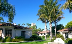
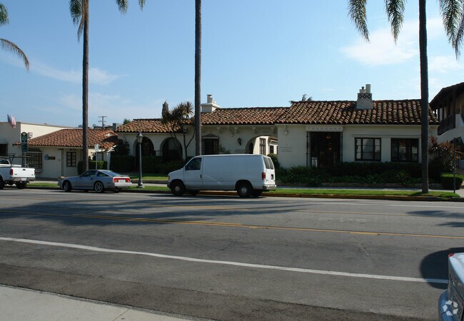
Property Record
1515 State St, Santa Barbara, CA 93101

Property Detail
1515 State St
027-520-004
Santa Barbara
Officecondo
California
C2
1
B and X Area of moderate flood hazard, usually the area between the limits of the 100-year and 500-year floods.
0.01 AC
2024
Downtown
2025
Santa Barbara/Sta Maria/Goleta
000900
Santa Maria-Santa Barbara, CA
NEARBY LISTINGS FOR SALE OR LEASE
DEMOGRAPHICS near 1515 State St
1 mile
3 mile
5 mile
2025 Total Population
29,800
93,230
114,693
2030 Population
29,545
92,909
114,427
Pop Growth 2025-2030
(0.86%)
(0.34%)
(0.23%)
Average Age
39
42
42
2025 Total Households
12,775
36,836
45,067
HH Growth 2025-2030
(0.96%)
(0.40%)
(0.26%)
Median Household Inc
$85,780
$101,852
$106,579
Avg Household Size
2.20
2.40
2.40
2025 Avg HH Vehicles
2.00
2.00
2.00
Median Home Value
$1,112,734
$1,118,504
$1,114,978
Median Year Built
1960
1963
1965
Nearby Places
Map Layers
Map Styles
 Street
 Aerial
Layers
 Traffic
 Biking
Places
Listings with unknown addresses are not visible on the map
- Restaurants
- Banks
- Shops
- Fitness
- Groceries
PUBLIC TRANSPORTATION
COMMUTER RAIL
Santa Barbara (Coast Starlight - Amtrak, Pacific Surfliner - Amtrak)
Drive
Walk
Distance
Santa Barbara (Coast Starlight - Amtrak, Pacific Surfliner - Amtrak)
5 min
1.7 mi
Goleta Amtrak (Pacific Surfliner - Amtrak)
Drive
Walk
Distance
Goleta Amtrak (Pacific Surfliner - Amtrak)
14 min
9.1 mi
AIRPORT
Santa Barbara Municipal
Drive
Walk
Distance
Santa Barbara Municipal
27 min
11.3 mi
Freight Ports
The Port of Hueneme
Drive
Walk
Distance
The Port of Hueneme
57 min
41.3 mi
SALE & LEASE HISTORY
LISTING DATE
SALE/LEASE

Feb 13, 2023
For Sale
Aug 05, 2024
For Sale
Apr 20, 2026
For Lease
Nearby Properties
Address
Land Use
TOTAL SIZE
Lot Size
Zoning
Address
Land Use
TOTAL SIZE
Lot Size
Zoning
710 SF
9.92 AC
SP8
Address
Land Use
TOTAL SIZE
Lot Size
Zoning
21.85 AC
HRC1SP
Address
Land Use
TOTAL SIZE
Lot Size
Zoning
16.87 AC
E3SD2
Address
Land Use
TOTAL SIZE
Lot Size
Zoning
0.39 AC
C2
Address
Land Use
TOTAL SIZE
Lot Size
Zoning
7.06 AC
R240R
Address
Land Use
TOTAL SIZE
Lot Size
Zoning
Address
Land Use
TOTAL SIZE
Lot Size
Zoning
1.16 AC
Address
Land Use
TOTAL SIZE
Lot Size
Zoning
1.43 AC
Address
Land Use
TOTAL SIZE
Lot Size
Zoning
10.48 AC
C2SD2
Address
Land Use
TOTAL SIZE
Lot Size
Zoning
1.12 AC
HRC1SD
Address
Land Use
TOTAL SIZE
Lot Size
Zoning
0.75 AC
HRC2SD
Address
Land Use
TOTAL SIZE
Lot Size
Zoning
0.37 AC
C2
Address
Land Use
TOTAL SIZE
Lot Size
Zoning
1.35 AC
CM
Address
Land Use
TOTAL SIZE
Lot Size
Zoning
6.59 AC
R2SD3
Address
Land Use
TOTAL SIZE
Lot Size
Zoning
0.57 AC
CM
Address
Land Use
TOTAL SIZE
Lot Size
Zoning
8.79 AC
C2SD2
Address
Land Use
TOTAL SIZE
Lot Size
Zoning
4.32 AC
CP
Address
Land Use
TOTAL SIZE
Lot Size
Zoning
0.99 AC
Address
Land Use
TOTAL SIZE
Lot Size
Zoning
9.21 AC
R2
Address
Land Use
TOTAL SIZE
Lot Size
Zoning
1.32 AC
Address
Land Use
TOTAL SIZE
Lot Size
Zoning
4.94 AC
CPSD2
Address
Land Use
TOTAL SIZE
Lot Size
Zoning
7.44 AC
OM1SD3
Address
Land Use
TOTAL SIZE
Lot Size
Zoning
1 AC
HRC1SD
Address
Land Use
TOTAL SIZE
Lot Size
Zoning
1.65 AC
HRC2SD
Address
Land Use
TOTAL SIZE
Lot Size
Zoning
0.48 AC
HRC2SD
Address
Land Use
TOTAL SIZE
Lot Size
Zoning
2.62 AC
C2
Address
Land Use
TOTAL SIZE
Lot Size
Zoning
1.29 AC
HRC1SD
Address
Land Use
TOTAL SIZE
Lot Size
Zoning
11.37 AC
E1
Address
Land Use
TOTAL SIZE
Lot Size
Zoning
27,346 SF
8.72 AC
SP7
Address
Land Use
TOTAL SIZE
Lot Size
Zoning
1.35 AC
C2SD2
The World's #1 Commercial Real Estate Marketplace
Connect with us
© 2026 CoStar Group
The information above has been obtained from sources believed reliable. While we do not doubt its accuracy we have not verified it and make no guarantee, warranty or representation about it. It is your responsibility to independently confirm its accuracy and completeness. Any projections, opinions, assumptions, or estimates used are for example only and do not represent the current or future performance of the property. The value of this transaction to you depends on tax and other factors which should be evaluated by your tax, financial, and legal advisors. You and your advisors should conduct a careful, independent investigation of the property to determine to your satisfaction the suitability of the property for your needs.