Property Record
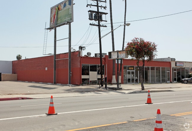
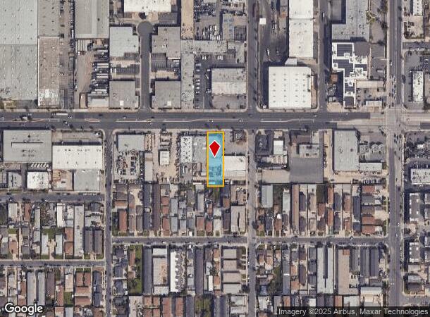
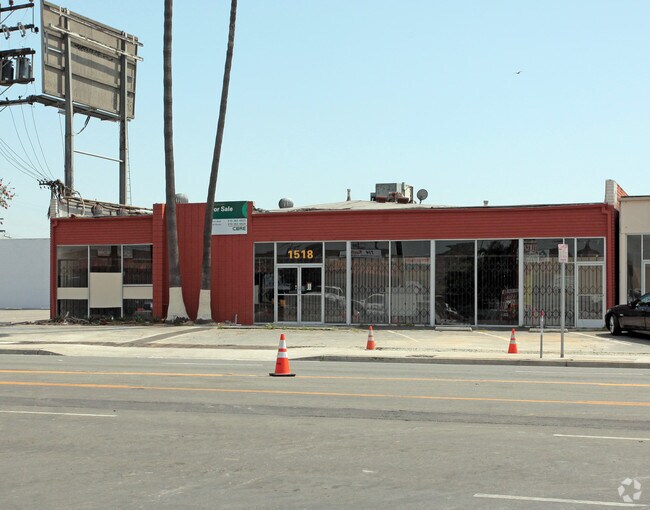
1518 W Rosecrans Ave, Gardena, CA 90249

NEARBY LISTINGS FOR SALE OR LEASE
Property Detail
1518 W Rosecrans Ave
Los Angeles-Long Beach-Glendale, CA
Rogers Ralph Cos Resub
6103-005-053
*TR=PARCEL MAP AS PER BK 139 P 73-74 OF PM LOT 3
Lightindustrial
Los Angeles
X
California
06037C1795F
3
2025
0.40 AC
2025
Gardena/Hawthorne
603005
Los Angeles
9,800 SF
DEMOGRAPHICS near 1518 W Rosecrans Ave
1 Mile
3 Mile
5 Mile
2024 Total Population
31,113
273,676
772,493
2029 Population
30,272
264,999
746,462
Pop Growth 2024-2029
(2.70%)
(3.17%)
(3.37%)
Average Age
40
39
38
2024 Total Households
10,431
88,090
237,140
HH Growth 2024-2029
(2.90%)
(3.39%)
(3.57%)
Median Household Inc
$71,360
$67,801
$68,590
Avg Household Size
2.90
3.00
3.10
2024 Avg HH Vehicles
2.00
2.00
2.00
Median Home Value
$655,991
$689,600
$693,007
Median Year Built
1961
1960
1959
Nearby Places
Map Layers
Map Styles
 Street
 Aerial
- Restaurants
- Banks
- Shops
- Fitness
- Groceries
PUBLIC TRANSPORTATION
AIRPORT
Los Angeles International
DRIVE
WALK
Distance
Los Angeles International
15 min
9.3 mi
Long Beach (Daugherty Field)
DRIVE
WALK
Distance
Long Beach (Daugherty Field)
19 min
12.7 mi
Bob Hope
DRIVE
WALK
Distance
Bob Hope
40 min
29.2 mi
Freight Ports
Port of Long Beach
DRIVE
WALK
Distance
Port of Long Beach
23 min
14.7 mi
SALE & LEASE HISTORY
LISTING DATE
SALE/LEASE

Jun 07, 2018
For Lease
Nearby Properties
Address
Land Use
TOTAL SIZE
Lot Size
Zoning
Address
Land Use
TOTAL SIZE
Lot Size
Zoning
248,531 SF
13.30 AC
LCM11/2-B1
Address
Land Use
TOTAL SIZE
Lot Size
Zoning
291,731 SF
16.84 AC
CAML*
Address
Land Use
TOTAL SIZE
Lot Size
Zoning
604,106 SF
42.72 AC
TOMI-HVY
Address
Land Use
TOTAL SIZE
Lot Size
Zoning
227,596 SF
14.38 AC
HAM1YY
Address
Land Use
TOTAL SIZE
Lot Size
Zoning
214,782 SF
3.66 AC
GAR3
Address
Land Use
TOTAL SIZE
Lot Size
Zoning
986,604 SF
42.66 AC
HAM2YY
Address
Land Use
TOTAL SIZE
Lot Size
Zoning
59,422 SF
2.89 AC
HAM2YY
Address
Land Use
TOTAL SIZE
Lot Size
Zoning
515,047 SF
4.87 AC
COMH*
Address
Land Use
TOTAL SIZE
Lot Size
Zoning
514,397 SF
24.34 AC
COMH-B*
Address
Land Use
TOTAL SIZE
Lot Size
Zoning
472,062 SF
24.39 AC
COMH-B*
Address
Land Use
TOTAL SIZE
Lot Size
Zoning
125,849 SF
6.08 AC
LAM2
Address
Land Use
TOTAL SIZE
Lot Size
Zoning
544,967 SF
10.74 AC
HAM2YY
Address
Land Use
TOTAL SIZE
Lot Size
Zoning
24,060 SF
LAM2
Address
Land Use
TOTAL SIZE
Lot Size
Zoning
155,099 SF
7.74 AC
TOMI-HVY
Address
Land Use
TOTAL SIZE
Lot Size
Zoning
230,694 SF
9.02 AC
COMH-B*
Address
Land Use
TOTAL SIZE
Lot Size
Zoning
210,742 SF
11.25 AC
CAML*
Address
Land Use
TOTAL SIZE
Lot Size
Zoning
533,879 SF
10.02 AC
LAM2
Address
Land Use
TOTAL SIZE
Lot Size
Zoning
146,182 SF
CAML*
Address
Land Use
TOTAL SIZE
Lot Size
Zoning
169,426 SF
3.50 AC
LCM11/2-B1
Address
Land Use
TOTAL SIZE
Lot Size
Zoning
121,090 SF
4.18 AC
LCM2*
Address
Land Use
TOTAL SIZE
Lot Size
Zoning
109,179 SF
4.55 AC
LCM2*
Address
Land Use
TOTAL SIZE
Lot Size
Zoning
212,771 SF
7.81 AC
LAM2
Address
Land Use
TOTAL SIZE
Lot Size
Zoning
132,173 SF
11.53 AC
LCM2-B1*
Address
Land Use
TOTAL SIZE
Lot Size
Zoning
147,280 SF
6.58 AC
CAML*
Address
Land Use
TOTAL SIZE
Lot Size
Zoning
483,516 SF
11.10 AC
GAM2
Address
Land Use
TOTAL SIZE
Lot Size
Zoning
242,423 SF
6.62 AC
HAC2
Address
Land Use
TOTAL SIZE
Lot Size
Zoning
118,699 SF
5.21 AC
LCM2-B1*
Address
Land Use
TOTAL SIZE
Lot Size
Zoning
17,280 SF
3.80 AC
CAML&D*
Address
Land Use
TOTAL SIZE
Lot Size
Zoning
289,834 SF
6.67 AC
LCM2*
Address
Land Use
TOTAL SIZE
Lot Size
Zoning
111,266 SF
3.42 AC
LAMR1
The World's #1 Commercial Real Estate Marketplace
Connect with us
© 2025 CoStar Group
The information above has been obtained from sources believed reliable. While we do not doubt its accuracy we have not verified it and make no guarantee, warranty or representation about it. It is your responsibility to independently confirm its accuracy and completeness. Any projections, opinions, assumptions, or estimates used are for example only and do not represent the current or future performance of the property. The value of this transaction to you depends on tax and other factors which should be evaluated by your tax, financial, and legal advisors. You and your advisors should conduct a careful, independent investigation of the property to determine to your satisfaction the suitability of the property for your needs.