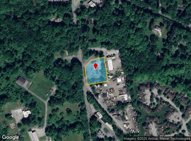
Property Record
152 Route 202, Lincolndale, NY 10540


NEARBY LISTINGS FOR SALE OR LEASE
-
-
View all Lincolndale listings for lease on LoopNet.com
Property Detail
152 Route 202
5200-016-016-00001-000-0013
Westchester
Storesoffices
New York
X
13.000
36119C0053F
1 AC
2025
North
2024
Westchester/So Connecticut
014903
New York-Jersey City-White Plains, NY-NJ
DEMOGRAPHICS near 152 Route 202
1 Mile
3 Mile
5 Mile
2024 Total Population
2,398
23,757
64,904
2029 Population
2,327
23,415
63,871
Pop Growth 2024-2029
(2.96%)
(1.44%)
(1.59%)
Average Age
50
48
45
2024 Total Households
997
9,433
23,926
HH Growth 2024-2029
(3.11%)
(1.36%)
(1.67%)
Median Household Inc
$95,049
$128,070
$134,988
Avg Household Size
2.30
2.50
2.60
2024 Avg HH Vehicles
2.00
2.00
2.00
Median Home Value
$554,916
$500,392
$502,870
Median Year Built
1982
1977
1971
Nearby Places
- Restaurants
- Banks
- Shops
- Fitness
- Groceries
PUBLIC TRANSPORTATION
COMMUTER RAIL
Purdy's Station (Harlem Line - Metro-North Commuter Railroad Company (Metro-North))
DRIVE
WALK
Distance
Purdy's Station (Harlem Line - Metro-North Commuter Railroad Company (Metro-North))
8 min
3.9 mi
Golden's Bridge Station (Harlem Line - Metro-North Commuter Railroad Company (Metro-North))
DRIVE
WALK
Distance
Golden's Bridge Station (Harlem Line - Metro-North Commuter Railroad Company (Metro-North))
8 min
4.8 mi
AIRPORT
Westchester County
DRIVE
WALK
Distance
Westchester County
29 min
20.0 mi
New York Stewart International
DRIVE
WALK
Distance
New York Stewart International
64 min
46.2 mi
Freight Ports
Port of New Haven
DRIVE
WALK
Distance
Port of New Haven
80 min
54.2 mi
SALE & LEASE HISTORY
LISTING DATE
SALE/LEASE

Mar 11, 2020
For Lease
Nearby Properties
Address
Land Use
TOTAL SIZE
Lot Size
Zoning
Address
Land Use
TOTAL SIZE
Lot Size
Zoning
147,668 SF
18.15 AC
C
Address
Land Use
TOTAL SIZE
Lot Size
Zoning
1,078,069 SF
723.08 AC
Address
Land Use
TOTAL SIZE
Lot Size
Zoning
447.03 AC
R-120
Address
Land Use
TOTAL SIZE
Lot Size
Zoning
72,482 SF
2.37 AC
C
Address
Land Use
TOTAL SIZE
Lot Size
Zoning
40,194 SF
6.60 AC
C
Address
Land Use
TOTAL SIZE
Lot Size
Zoning
98.59 AC
Address
Land Use
TOTAL SIZE
Lot Size
Zoning
1,984 SF
17.90 AC
R-120
Address
Land Use
TOTAL SIZE
Lot Size
Zoning
19,300 SF
1.50 AC
C
Address
Land Use
TOTAL SIZE
Lot Size
Zoning
15,500 SF
1.21 AC
C
Address
Land Use
TOTAL SIZE
Lot Size
Zoning
27.32 AC
Address
Land Use
TOTAL SIZE
Lot Size
Zoning
30.81 AC
Address
Land Use
TOTAL SIZE
Lot Size
Zoning
9,936 SF
30.83 AC
CBP
Address
Land Use
TOTAL SIZE
Lot Size
Zoning
21,890 SF
3 AC
C
Address
Land Use
TOTAL SIZE
Lot Size
Zoning
11.80 AC
Address
Land Use
TOTAL SIZE
Lot Size
Zoning
2,431 SF
58.02 AC
R-80
Address
Land Use
TOTAL SIZE
Lot Size
Zoning
10.79 AC
NS
Address
Land Use
TOTAL SIZE
Lot Size
Zoning
24,891 SF
1.42 AC
CBP
Address
Land Use
TOTAL SIZE
Lot Size
Zoning
6,823 SF
1.25 AC
R
Address
Land Use
TOTAL SIZE
Lot Size
Zoning
11,969 SF
2.81 AC
C
Address
Land Use
TOTAL SIZE
Lot Size
Zoning
1.61 AC
R
Address
Land Use
TOTAL SIZE
Lot Size
Zoning
30.01 AC
Address
Land Use
TOTAL SIZE
Lot Size
Zoning
28,149 SF
5.42 AC
R
Address
Land Use
TOTAL SIZE
Lot Size
Zoning
9.06 AC
Address
Land Use
TOTAL SIZE
Lot Size
Zoning
Address
Land Use
TOTAL SIZE
Lot Size
Zoning
3,756 SF
1.04 AC
CBP
Address
Land Use
TOTAL SIZE
Lot Size
Zoning
1,795 SF
25.31 AC
R-120
Address
Land Use
TOTAL SIZE
Lot Size
Zoning
38,477 SF
7.12 AC
PH
Address
Land Use
TOTAL SIZE
Lot Size
Zoning
7,235 SF
1 AC
C
Address
Land Use
TOTAL SIZE
Lot Size
Zoning
21,000 SF
3.11 AC
CBP
Address
Land Use
TOTAL SIZE
Lot Size
Zoning
16,268 SF
1.64 AC
C
The World's #1 Commercial Real Estate Marketplace
Connect with us
© 2025 CoStar Group
The information above has been obtained from sources believed reliable. While we do not doubt its accuracy we have not verified it and make no guarantee, warranty or representation about it. It is your responsibility to independently confirm its accuracy and completeness. Any projections, opinions, assumptions, or estimates used are for example only and do not represent the current or future performance of the property. The value of this transaction to you depends on tax and other factors which should be evaluated by your tax, financial, and legal advisors. You and your advisors should conduct a careful, independent investigation of the property to determine to your satisfaction the suitability of the property for your needs.