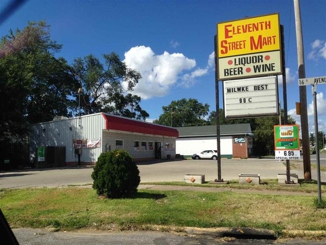
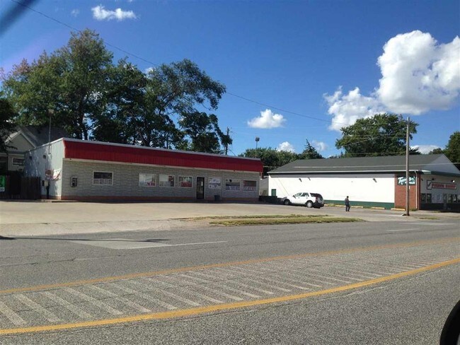
Property Record
1520 11Th St, Rock Island, IL 61201

NEARBY LISTINGS FOR SALE OR LEASE
Property Detail
1520 11Th St
Davenport-Moline-Rock Island, IA-IL
L Mosenfelder Place
16-02-135-009
BLOCK 1 L MOSENFELDER PLACE LOTS 17 AND 18
Commercialnec
Rock Island
X
Illinois
19163C0500F
17-18
2024
0.23 AC
2024
Greater Rock Island
023600
Davenport/Moline/Rock Island
4,178 SF
DEMOGRAPHICS near 1520 11Th St
1 Mile
3 Mile
5 Mile
2024 Total Population
12,178
67,444
146,492
2029 Population
12,109
66,696
144,671
Pop Growth 2024-2029
(0.57%)
(1.11%)
(1.24%)
Average Age
39
39
40
2024 Total Households
4,937
27,797
62,198
HH Growth 2024-2029
(0.77%)
(1.06%)
(1.27%)
Median Household Inc
$44,162
$45,631
$53,212
Avg Household Size
2.30
2.20
2.20
2024 Avg HH Vehicles
2.00
2.00
2.00
Median Home Value
$76,712
$94,077
$132,126
Median Year Built
1947
1948
1952
Nearby Places
Map Layers
Map Styles
 Street
 Aerial
- Restaurants
- Banks
- Shops
- Fitness
- Groceries
PUBLIC TRANSPORTATION
AIRPORT
Quad Cities International
DRIVE
WALK
Distance
Quad Cities International
16 min
8.2 mi
Freight Ports
Port Milwaukee
DRIVE
WALK
Distance
Port Milwaukee
243 min
209.9 mi
SALE & LEASE HISTORY
LISTING DATE
SALE/LEASE

Sep 25, 2016
For Lease
Nearby Properties
Address
Land Use
TOTAL SIZE
Lot Size
Zoning
Address
Land Use
TOTAL SIZE
Lot Size
Zoning
197,194 SF
5.14 AC
Address
Land Use
TOTAL SIZE
Lot Size
Zoning
253,608 SF
9.29 AC
Address
Land Use
TOTAL SIZE
Lot Size
Zoning
3,500 SF
1.54 AC
Address
Land Use
TOTAL SIZE
Lot Size
Zoning
190,832 SF
3.88 AC
Address
Land Use
TOTAL SIZE
Lot Size
Zoning
227,249 SF
38.78 AC
RI
Address
Land Use
TOTAL SIZE
Lot Size
Zoning
61,623 SF
2.18 AC
Address
Land Use
TOTAL SIZE
Lot Size
Zoning
76,853 SF
0.56 AC
Address
Land Use
TOTAL SIZE
Lot Size
Zoning
70,098 SF
9.72 AC
Address
Land Use
TOTAL SIZE
Lot Size
Zoning
104,415 SF
5.89 AC
Address
Land Use
TOTAL SIZE
Lot Size
Zoning
9,658 SF
8.07 AC
Address
Land Use
TOTAL SIZE
Lot Size
Zoning
153,329 SF
2.35 AC
Address
Land Use
TOTAL SIZE
Lot Size
Zoning
96,529 SF
3.52 AC
Address
Land Use
TOTAL SIZE
Lot Size
Zoning
72,554 SF
0.38 AC
Address
Land Use
TOTAL SIZE
Lot Size
Zoning
10,724 SF
1.51 AC
Address
Land Use
TOTAL SIZE
Lot Size
Zoning
32,725 SF
0.99 AC
Address
Land Use
TOTAL SIZE
Lot Size
Zoning
72,173 SF
0.66 AC
Address
Land Use
TOTAL SIZE
Lot Size
Zoning
43,343 SF
3.56 AC
Address
Land Use
TOTAL SIZE
Lot Size
Zoning
172,527 SF
1.10 AC
Address
Land Use
TOTAL SIZE
Lot Size
Zoning
159,973 SF
0.87 AC
Address
Land Use
TOTAL SIZE
Lot Size
Zoning
70,974 SF
13.14 AC
Address
Land Use
TOTAL SIZE
Lot Size
Zoning
56,333 SF
1.08 AC
Address
Land Use
TOTAL SIZE
Lot Size
Zoning
49,622 SF
0.66 AC
Address
Land Use
TOTAL SIZE
Lot Size
Zoning
61,126 SF
1.57 AC
Address
Land Use
TOTAL SIZE
Lot Size
Zoning
25,803 SF
2 AC
Address
Land Use
TOTAL SIZE
Lot Size
Zoning
3,283 SF
20 AC
Address
Land Use
TOTAL SIZE
Lot Size
Zoning
1,080 SF
16.40 AC
Address
Land Use
TOTAL SIZE
Lot Size
Zoning
133,712 SF
2.31 AC
Address
Land Use
TOTAL SIZE
Lot Size
Zoning
4.30 AC
RI
Address
Land Use
TOTAL SIZE
Lot Size
Zoning
68,808 SF
2.28 AC
Address
Land Use
TOTAL SIZE
Lot Size
Zoning
13,766 SF
2.35 AC
The World's #1 Commercial Real Estate Marketplace
Connect with us
© 2026 CoStar Group
The information above has been obtained from sources believed reliable. While we do not doubt its accuracy we have not verified it and make no guarantee, warranty or representation about it. It is your responsibility to independently confirm its accuracy and completeness. Any projections, opinions, assumptions, or estimates used are for example only and do not represent the current or future performance of the property. The value of this transaction to you depends on tax and other factors which should be evaluated by your tax, financial, and legal advisors. You and your advisors should conduct a careful, independent investigation of the property to determine to your satisfaction the suitability of the property for your needs.