Property Record
1520 E Highway 290, Dripping Springs, TX 78620
NEARBY LISTINGS FOR SALE OR LEASE
Property Detail
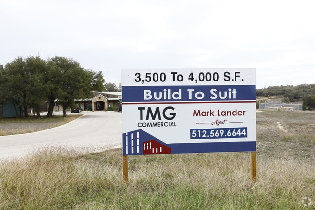
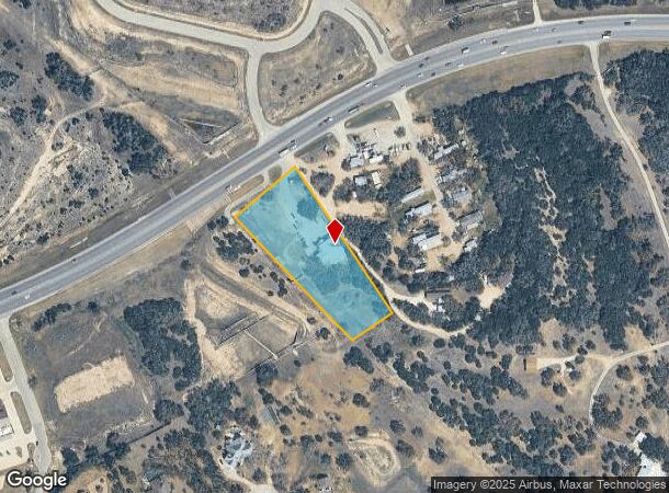
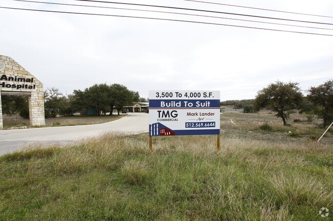
1520 E Highway 290
Austin-Round Rock-San Marcos, TX
Hudson Subd
R71059
HUDSON SUBD LOT 1 2.38 AC
Commercialnec
Hays
X
Texas
48453C0535J
1
2024
2.38 AC
2025
Hays County
010806
Austin
3,725 SF
DEMOGRAPHICS near 1520 E Highway 290
1 Mile
3 Mile
5 Mile
2024 Total Population
1,342
12,639
32,578
2029 Population
1,779
16,876
43,300
Pop Growth 2024-2029
+ 32.56%
+ 33.52%
+ 32.91%
Average Age
41
41
40
2024 Total Households
477
4,527
11,375
HH Growth 2024-2029
+ 33.54%
+ 34.55%
+ 33.93%
Median Household Inc
$123,161
$127,529
$137,210
Avg Household Size
2.80
2.80
2.80
2024 Avg HH Vehicles
2.00
2.00
2.00
Median Home Value
$656,531
$639,030
$623,857
Median Year Built
2004
2009
2009
Nearby Places
Map Layers
Map Styles
 Street
 Aerial
- Restaurants
- Banks
- Shops
- Fitness
- Groceries
PUBLIC TRANSPORTATION
AIRPORT
Austin-Bergstrom International
DRIVE
WALK
Distance
Austin-Bergstrom International
43 min
27.9 mi
Nearby Properties
Address
Land Use
TOTAL SIZE
Lot Size
Zoning
Address
Land Use
TOTAL SIZE
Lot Size
Zoning
144,374 SF
2.51 AC
Address
Land Use
TOTAL SIZE
Lot Size
Zoning
199,572 SF
9.63 AC
Address
Land Use
TOTAL SIZE
Lot Size
Zoning
109,839 SF
21.13 AC
Address
Land Use
TOTAL SIZE
Lot Size
Zoning
Address
Land Use
TOTAL SIZE
Lot Size
Zoning
Address
Land Use
TOTAL SIZE
Lot Size
Zoning
103,275 SF
16.53 AC
Address
Land Use
TOTAL SIZE
Lot Size
Zoning
56,828 SF
5.23 AC
Address
Land Use
TOTAL SIZE
Lot Size
Zoning
40,588 SF
5.09 AC
Address
Land Use
TOTAL SIZE
Lot Size
Zoning
600 SF
12.61 AC
Address
Land Use
TOTAL SIZE
Lot Size
Zoning
204,400 SF
1.34 AC
Address
Land Use
TOTAL SIZE
Lot Size
Zoning
76,930 SF
23.87 AC
Address
Land Use
TOTAL SIZE
Lot Size
Zoning
56.63 AC
Address
Land Use
TOTAL SIZE
Lot Size
Zoning
94.05 AC
Address
Land Use
TOTAL SIZE
Lot Size
Zoning
Address
Land Use
TOTAL SIZE
Lot Size
Zoning
59,572 SF
1.56 AC
Address
Land Use
TOTAL SIZE
Lot Size
Zoning
70,096 SF
6.82 AC
Address
Land Use
TOTAL SIZE
Lot Size
Zoning
1,600 SF
82.05 AC
Address
Land Use
TOTAL SIZE
Lot Size
Zoning
82,488 SF
20.23 AC
Address
Land Use
TOTAL SIZE
Lot Size
Zoning
27,828 SF
2.18 AC
Address
Land Use
TOTAL SIZE
Lot Size
Zoning
Address
Land Use
TOTAL SIZE
Lot Size
Zoning
Address
Land Use
TOTAL SIZE
Lot Size
Zoning
4,844 SF
13.44 AC
Address
Land Use
TOTAL SIZE
Lot Size
Zoning
Address
Land Use
TOTAL SIZE
Lot Size
Zoning
Address
Land Use
TOTAL SIZE
Lot Size
Zoning
2,280 SF
9.05 AC
Address
Land Use
TOTAL SIZE
Lot Size
Zoning
Address
Land Use
TOTAL SIZE
Lot Size
Zoning
4,500 SF
5.31 AC
Address
Land Use
TOTAL SIZE
Lot Size
Zoning
8,221 SF
10.01 AC
Address
Land Use
TOTAL SIZE
Lot Size
Zoning
Address
Land Use
TOTAL SIZE
Lot Size
Zoning
19,701 SF
1.34 AC
The World's #1 Commercial Real Estate Marketplace
Connect with us
© 2026 CoStar Group
The information above has been obtained from sources believed reliable. While we do not doubt its accuracy we have not verified it and make no guarantee, warranty or representation about it. It is your responsibility to independently confirm its accuracy and completeness. Any projections, opinions, assumptions, or estimates used are for example only and do not represent the current or future performance of the property. The value of this transaction to you depends on tax and other factors which should be evaluated by your tax, financial, and legal advisors. You and your advisors should conduct a careful, independent investigation of the property to determine to your satisfaction the suitability of the property for your needs.