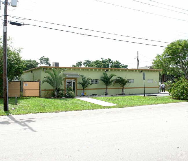
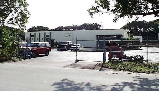
Property Record
1540 Nw 65Th Ave, Plantation, FL 33313
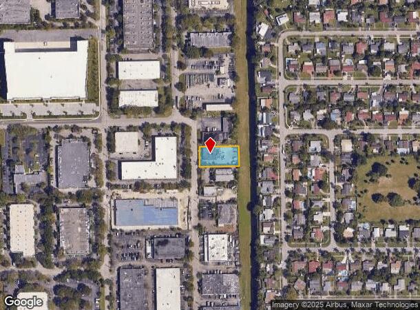

NEARBY LISTINGS FOR SALE OR LEASE
Property Detail
1540 Nw 65Th Ave
49-41-34-01-0103
Everglades Plantation Co Sub
Warehouse
EVERGLADES PLANTATION CO SUB 2-7 D 34-49-41 BEG SE COR SEC 34,N 3178.90, W 104 TO POB, W 202.50,S 100,E 202.50, N 100 TO POB
AH
Broward
12011C0363J
Florida
2024
0.47 AC
2025
West Sunrise
060501
South Florida
3,782 SF
Fort Lauderdale-Pompano Beach-Deerfield Beach, FL
DEMOGRAPHICS near 1540 Nw 65Th Ave
1 Mile
3 Mile
5 Mile
2024 Total Population
24,648
204,027
466,736
2029 Population
24,225
205,637
465,986
Pop Growth 2024-2029
(1.72%)
+ 0.79%
(0.16%)
Average Age
36
41
40
2024 Total Households
8,064
78,562
174,991
HH Growth 2024-2029
(2.28%)
+ 0.70%
(0.44%)
Median Household Inc
$50,604
$48,240
$55,013
Avg Household Size
2.90
2.50
2.50
2024 Avg HH Vehicles
2.00
1.00
2.00
Median Home Value
$262,148
$245,018
$265,318
Median Year Built
1973
1976
1977
Nearby Places
- Restaurants
- Banks
- Shops
- Fitness
- Groceries
PUBLIC TRANSPORTATION
COMMUTER RAIL
Fort Lauderdale (Tri-County Commuter - South Florida Regional Transportation Authority (Tri-Rail))
DRIVE
WALK
Distance
Fort Lauderdale (Tri-County Commuter - South Florida Regional Transportation Authority (Tri-Rail))
14 min
6.4 mi
DRIVE
WALK
Distance
15 min
7.4 mi
AIRPORT
Fort Lauderdale/Hollywood International
DRIVE
WALK
Distance
Fort Lauderdale/Hollywood International
21 min
11.3 mi
Miami International
DRIVE
WALK
Distance
Miami International
50 min
33.8 mi
Freight Ports
Port Everglades
DRIVE
WALK
Distance
Port Everglades
19 min
10.9 mi
Nearby Properties
Address
Land Use
TOTAL SIZE
Lot Size
Zoning
Address
Land Use
TOTAL SIZE
Lot Size
Zoning
663,255 SF
3.15 AC
RAC-CC
Address
Land Use
TOTAL SIZE
Lot Size
Zoning
458,854 SF
30.97 AC
PRD-15Q **
Address
Land Use
TOTAL SIZE
Lot Size
Zoning
507,890 SF
39.49 AC
M-PM
Address
Land Use
TOTAL SIZE
Lot Size
Zoning
517,961 SF
3.92 AC
M-PM
Address
Land Use
TOTAL SIZE
Lot Size
Zoning
497,004 SF
4.46 AC
M-PM
Address
Land Use
TOTAL SIZE
Lot Size
Zoning
524,015 SF
6.43 AC
B-7Q
Address
Land Use
TOTAL SIZE
Lot Size
Zoning
527,086 SF
2.34 AC
M-PM
Address
Land Use
TOTAL SIZE
Lot Size
Zoning
346,662 SF
26.47 AC
RM-18
Address
Land Use
TOTAL SIZE
Lot Size
Zoning
320,919 SF
27.70 AC
M-PM
Address
Land Use
TOTAL SIZE
Lot Size
Zoning
439,908 SF
13.54 AC
OP-P
Address
Land Use
TOTAL SIZE
Lot Size
Zoning
256,568 SF
22.61 AC
PRD-12.15Q
Address
Land Use
TOTAL SIZE
Lot Size
Zoning
312,067 SF
20.94 AC
PRD-15Q
Address
Land Use
TOTAL SIZE
Lot Size
Zoning
289,523 SF
9.44 AC
B-HCS
Address
Land Use
TOTAL SIZE
Lot Size
Zoning
321,240 SF
2.16 AC
M-PM
Address
Land Use
TOTAL SIZE
Lot Size
Zoning
296,166 SF
18.40 AC
RM-18
Address
Land Use
TOTAL SIZE
Lot Size
Zoning
277,664 SF
21.35 AC
PRD-12.15Q
Address
Land Use
TOTAL SIZE
Lot Size
Zoning
445,798 SF
11.80 AC
OP-P
Address
Land Use
TOTAL SIZE
Lot Size
Zoning
300,359 SF
11.76 AC
PRD-15.7Q
Address
Land Use
TOTAL SIZE
Lot Size
Zoning
309,879 SF
7.78 AC
TND-PUD
Address
Land Use
TOTAL SIZE
Lot Size
Zoning
262,844 SF
10.85 AC
B-FCC
Address
Land Use
TOTAL SIZE
Lot Size
Zoning
234,496 SF
3.07 AC
M-PM
Address
Land Use
TOTAL SIZE
Lot Size
Zoning
231,498 SF
19.56 AC
PRD-12.15Q
Address
Land Use
TOTAL SIZE
Lot Size
Zoning
157,841 SF
3.03 AC
I-L2P
Address
Land Use
TOTAL SIZE
Lot Size
Zoning
405,695 SF
10.08 AC
M-PM
Address
Land Use
TOTAL SIZE
Lot Size
Zoning
248,539 SF
0.13 AC
M-PM
Address
Land Use
TOTAL SIZE
Lot Size
Zoning
337,771 SF
20.62 AC
PRD-17Q
Address
Land Use
TOTAL SIZE
Lot Size
Zoning
291,638 SF
15.08 AC
PRD-15Q
Address
Land Use
TOTAL SIZE
Lot Size
Zoning
264,230 SF
24.07 AC
PRD-12.54Q
Address
Land Use
TOTAL SIZE
Lot Size
Zoning
321,043 SF
34.99 AC
CF-P
Address
Land Use
TOTAL SIZE
Lot Size
Zoning
188,466 SF
0.73 AC
M-PM
The World's #1 Commercial Real Estate Marketplace
Connect with us
© 2025 CoStar Group
The information above has been obtained from sources believed reliable. While we do not doubt its accuracy we have not verified it and make no guarantee, warranty or representation about it. It is your responsibility to independently confirm its accuracy and completeness. Any projections, opinions, assumptions, or estimates used are for example only and do not represent the current or future performance of the property. The value of this transaction to you depends on tax and other factors which should be evaluated by your tax, financial, and legal advisors. You and your advisors should conduct a careful, independent investigation of the property to determine to your satisfaction the suitability of the property for your needs.