Property Record
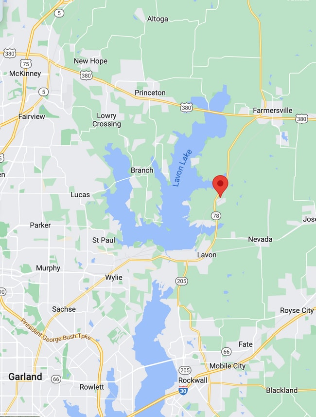
15325 County Road 549, Nevada, TX 75173


Property Detail
15325 County Road 549
Dallas-Fort Worth-Arlington, TX
ABS A0958 HEZ WALTERS SURVEY, SHEET 5, TRACT 82, 31.03 ACRES
R-6958-005-0820-1
COLLIN
Agriculturalland
Texas
B and X Area of moderate flood hazard, usually the area between the limits of the 100-year and 500-year floods.
82
2025
31.03 AC
2025
Allen/McKinney
031102
Dallas/Ft Worth
6,500 SF
NEARBY LISTINGS FOR SALE OR LEASE
DEMOGRAPHICS near 15325 County Road 549
1 mile
3 mile
5 mile
2025 Total Population
768
6,525
24,093
2030 Population
892
7,689
28,665
Pop Growth 2025-2030
+ 16.15%
+ 17.84%
+ 18.98%
Average Age
39
40
39
2025 Total Households
250
2,181
8,001
HH Growth 2025-2030
+ 16.40%
+ 18.02%
+ 19.19%
Median Household Inc
$95,572
$105,567
$106,099
Avg Household Size
3.00
2.90
3.00
2025 Avg HH Vehicles
2.00
2.00
2.00
Median Home Value
$483,999
$474,720
$448,716
Median Year Built
2007
2009
2010
Nearby Places
Map Layers
Map Styles
 Street
 Aerial
Transit
 Traffic
 Biking
Places
Listings with unknown addresses are not visible on the map
- Restaurants
- Banks
- Shops
- Fitness
- Groceries
PUBLIC TRANSPORTATION
AIRPORT
Dallas Love Field
Drive
Walk
Distance
Dallas Love Field
60 min
39.9 mi
Freight Ports
Port of Shreveport
Drive
Walk
Distance
Port of Shreveport
225 min
197.1 mi
SALE & LEASE HISTORY
LISTING DATE
SALE/LEASE

Feb 27, 2023
For Sale
Apr 22, 2024
For Sale
Nearby Properties
Address
Land Use
TOTAL SIZE
Lot Size
Zoning
Address
Land Use
TOTAL SIZE
Lot Size
Zoning
69,450 SF
24.11 AC
Address
Land Use
TOTAL SIZE
Lot Size
Zoning
44.63 AC
Address
Land Use
TOTAL SIZE
Lot Size
Zoning
256,390 SF
47.30 AC
Address
Land Use
TOTAL SIZE
Lot Size
Zoning
130.44 AC
RESI
Address
Land Use
TOTAL SIZE
Lot Size
Zoning
4.40 AC
Address
Land Use
TOTAL SIZE
Lot Size
Zoning
10,727 SF
2.27 AC
Address
Land Use
TOTAL SIZE
Lot Size
Zoning
2,042 SF
70.54 AC
AG
Address
Land Use
TOTAL SIZE
Lot Size
Zoning
51 SF
5.60 AC
Address
Land Use
TOTAL SIZE
Lot Size
Zoning
16,000 SF
3.03 AC
Address
Land Use
TOTAL SIZE
Lot Size
Zoning
68 SF
6.62 AC
Address
Land Use
TOTAL SIZE
Lot Size
Zoning
9,311 SF
7.38 AC
Address
Land Use
TOTAL SIZE
Lot Size
Zoning
61 SF
16.50 AC
Address
Land Use
TOTAL SIZE
Lot Size
Zoning
51 SF
5.10 AC
Address
Land Use
TOTAL SIZE
Lot Size
Zoning
10,500 SF
1.33 AC
SFR
Address
Land Use
TOTAL SIZE
Lot Size
Zoning
1,057 SF
1.50 AC
Address
Land Use
TOTAL SIZE
Lot Size
Zoning
69.75 AC
RESI
Address
Land Use
TOTAL SIZE
Lot Size
Zoning
43 SF
5.20 AC
Address
Land Use
TOTAL SIZE
Lot Size
Zoning
8,970 SF
1.58 AC
Address
Land Use
TOTAL SIZE
Lot Size
Zoning
2.14 AC
Address
Land Use
TOTAL SIZE
Lot Size
Zoning
62.38 AC
Address
Land Use
TOTAL SIZE
Lot Size
Zoning
7,680 SF
2.58 AC
Address
Land Use
TOTAL SIZE
Lot Size
Zoning
6,000 SF
3.97 AC
Address
Land Use
TOTAL SIZE
Lot Size
Zoning
6,220 SF
2.02 AC
SFR
Address
Land Use
TOTAL SIZE
Lot Size
Zoning
21,740 SF
1.50 AC
Address
Land Use
TOTAL SIZE
Lot Size
Zoning
3,067 SF
29.42 AC
Address
Land Use
TOTAL SIZE
Lot Size
Zoning
Address
Land Use
TOTAL SIZE
Lot Size
Zoning
865.13 AC
Address
Land Use
TOTAL SIZE
Lot Size
Zoning
3,208 SF
28.19 AC
Address
Land Use
TOTAL SIZE
Lot Size
Zoning
40 SF
5.10 AC
Address
Land Use
TOTAL SIZE
Lot Size
Zoning
3,369 SF
9.98 AC
The World's #1 Commercial Real Estate Marketplace
Connect with us
© 2026 CoStar Group
The information above has been obtained from sources believed reliable. While we do not doubt its accuracy we have not verified it and make no guarantee, warranty or representation about it. It is your responsibility to independently confirm its accuracy and completeness. Any projections, opinions, assumptions, or estimates used are for example only and do not represent the current or future performance of the property. The value of this transaction to you depends on tax and other factors which should be evaluated by your tax, financial, and legal advisors. You and your advisors should conduct a careful, independent investigation of the property to determine to your satisfaction the suitability of the property for your needs.