Property Record
1537 Mohawk Blvd, Springfield, OR 97477


NEARBY LISTINGS FOR SALE OR LEASE
Property Detail
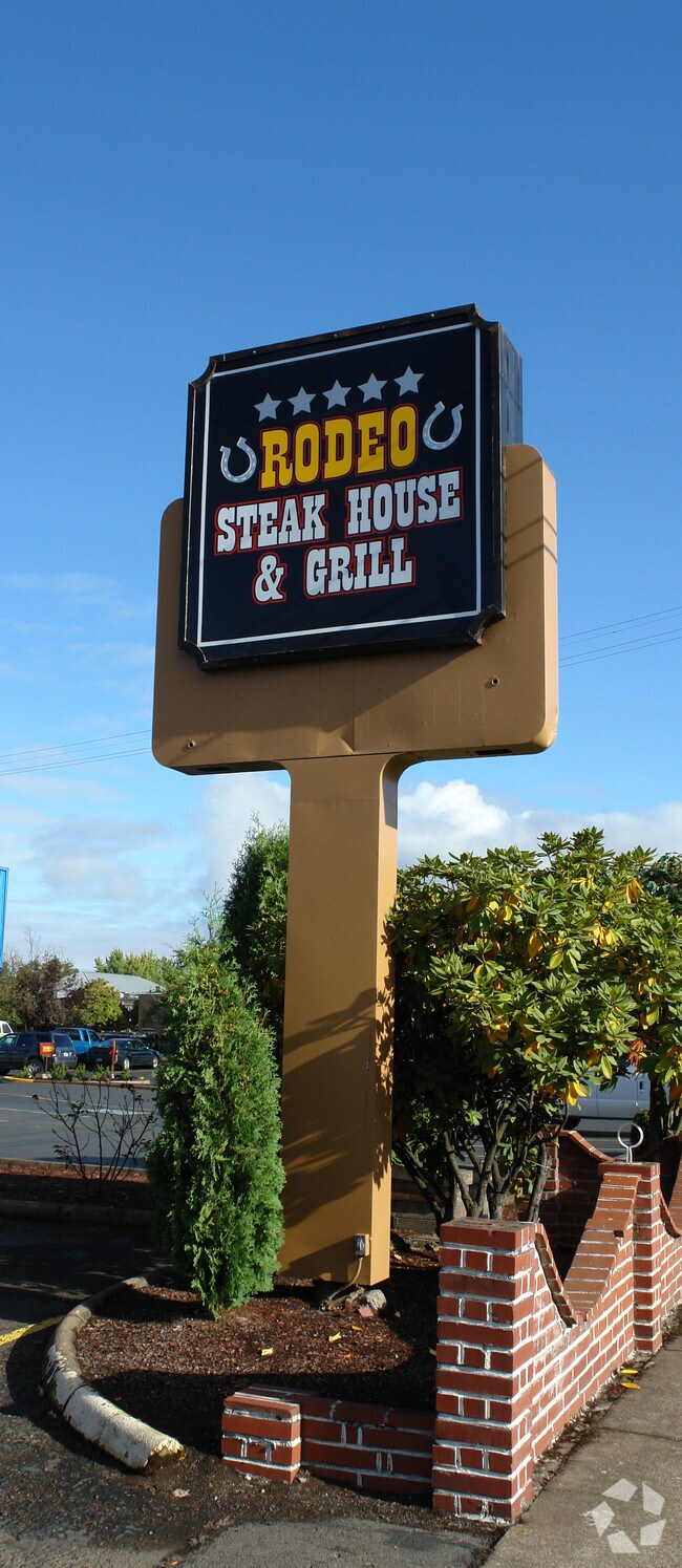
1537 Mohawk Blvd
Eugene, OR
TL 04300
0212090
Lane
Commercialbuilding
Oregon
X
4300
41039C1161F
0.42 AC
2025
Lane County
2025
Portland
003400
DEMOGRAPHICS near 1537 Mohawk Blvd
1 Mile
3 Mile
5 Mile
2024 Total Population
14,292
59,771
140,749
2029 Population
14,290
59,803
141,169
Pop Growth 2024-2029
(0.01%)
+ 0.05%
+ 0.30%
Average Age
40
39
38
2024 Total Households
5,861
24,436
57,806
HH Growth 2024-2029
(0.09%)
0.00%
+ 0.30%
Median Household Inc
$57,302
$56,494
$56,385
Avg Household Size
2.40
2.40
2.30
2024 Avg HH Vehicles
2.00
2.00
2.00
Median Home Value
$304,980
$320,043
$362,657
Median Year Built
1964
1973
1976
Nearby Places
Map Layers
Map Styles
 Street
 Aerial
- Restaurants
- Banks
- Shops
- Fitness
- Groceries
PUBLIC TRANSPORTATION
COMMUTER RAIL
DRIVE
WALK
Distance
10 min
5.6 mi
AIRPORT
Mahlon Sweet Field
DRIVE
WALK
Distance
Mahlon Sweet Field
25 min
14.3 mi
Nearby Properties
Address
Land Use
TOTAL SIZE
Lot Size
Zoning
Address
Land Use
TOTAL SIZE
Lot Size
Zoning
Address
Land Use
TOTAL SIZE
Lot Size
Zoning
9.57 AC
LD
Address
Land Use
TOTAL SIZE
Lot Size
Zoning
179 AC
E30
Address
Land Use
TOTAL SIZE
Lot Size
Zoning
33.20 AC
HI
Address
Land Use
TOTAL SIZE
Lot Size
Zoning
22.52 AC
LD
Address
Land Use
TOTAL SIZE
Lot Size
Zoning
Address
Land Use
TOTAL SIZE
Lot Size
Zoning
Address
Land Use
TOTAL SIZE
Lot Size
Zoning
13.55 AC
CI
Address
Land Use
TOTAL SIZE
Lot Size
Zoning
11.23 AC
Address
Land Use
TOTAL SIZE
Lot Size
Zoning
Address
Land Use
TOTAL SIZE
Lot Size
Zoning
Address
Land Use
TOTAL SIZE
Lot Size
Zoning
14.09 AC
CI
Address
Land Use
TOTAL SIZE
Lot Size
Zoning
Address
Land Use
TOTAL SIZE
Lot Size
Zoning
50.28 AC
LD
Address
Land Use
TOTAL SIZE
Lot Size
Zoning
28.66 AC
LMI
Address
Land Use
TOTAL SIZE
Lot Size
Zoning
19.48 AC
LD
Address
Land Use
TOTAL SIZE
Lot Size
Zoning
11.77 AC
R-3
Address
Land Use
TOTAL SIZE
Lot Size
Zoning
35.91 AC
HI
Address
Land Use
TOTAL SIZE
Lot Size
Zoning
7.27 AC
PL
Address
Land Use
TOTAL SIZE
Lot Size
Zoning
14.80 AC
CI
Address
Land Use
TOTAL SIZE
Lot Size
Zoning
Address
Land Use
TOTAL SIZE
Lot Size
Zoning
12.58 AC
R-4
Address
Land Use
TOTAL SIZE
Lot Size
Zoning
Address
Land Use
TOTAL SIZE
Lot Size
Zoning
16.42 AC
CC
Address
Land Use
TOTAL SIZE
Lot Size
Zoning
15.54 AC
HI
Address
Land Use
TOTAL SIZE
Lot Size
Zoning
7.11 AC
LMI
Address
Land Use
TOTAL SIZE
Lot Size
Zoning
15.15 AC
LD
Address
Land Use
TOTAL SIZE
Lot Size
Zoning
11.12 AC
HI
Address
Land Use
TOTAL SIZE
Lot Size
Zoning
Address
Land Use
TOTAL SIZE
Lot Size
Zoning
17.43 AC
LMI
The World's #1 Commercial Real Estate Marketplace
Connect with us
© 2026 CoStar Group
The information above has been obtained from sources believed reliable. While we do not doubt its accuracy we have not verified it and make no guarantee, warranty or representation about it. It is your responsibility to independently confirm its accuracy and completeness. Any projections, opinions, assumptions, or estimates used are for example only and do not represent the current or future performance of the property. The value of this transaction to you depends on tax and other factors which should be evaluated by your tax, financial, and legal advisors. You and your advisors should conduct a careful, independent investigation of the property to determine to your satisfaction the suitability of the property for your needs.