Property Record
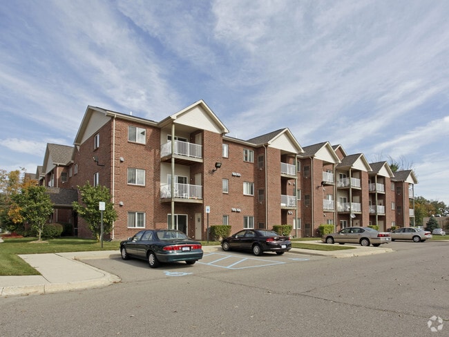
15393 15 Mile Rd, Clinton Township, MI 48035

NEARBY LISTINGS FOR SALE OR LEASE
-
-
View all Clinton Township listings for sale on LoopNet.com
Property Detail
15393 15 Mile Rd
16-11-30-351-002
50-11-30-351-002 D 399A T2N R13E SEC 30 COMM AT SW COR SEC 30; TH N 88 DEG 32' E 551.05 FT ALG C/L OF 15 MILE RD TO POB; TH N
Commercialnec
Macomb
X
Michigan
26099C0337G
2.99 AC
2025
Clinton Township
2025
Detroit
241500
Detroit-Warren-Dearborn, MI
DEMOGRAPHICS near 15393 15 Mile Rd
1 Mile
3 Mile
5 Mile
2024 Total Population
12,076
114,067
296,852
2029 Population
11,924
112,915
293,479
Pop Growth 2024-2029
(1.26%)
(1.01%)
(1.14%)
Average Age
45
43
42
2024 Total Households
5,093
47,292
124,546
HH Growth 2024-2029
(1.16%)
(1.00%)
(1.14%)
Median Household Inc
$62,709
$65,503
$65,306
Avg Household Size
2.30
2.40
2.30
2024 Avg HH Vehicles
2.00
2.00
2.00
Median Home Value
$239,587
$188,705
$178,251
Median Year Built
1982
1971
1970
Nearby Places
Map Layers
Map Styles
 Street
 Aerial
- Restaurants
- Banks
- Shops
- Fitness
- Groceries
PUBLIC TRANSPORTATION
AIRPORT
Windsor International
DRIVE
WALK
Distance
Windsor International
54 min
32.6 mi
Freight Ports
Port of Toledo
DRIVE
WALK
Distance
Port of Toledo
105 min
83.1 mi
Nearby Properties
Address
Land Use
TOTAL SIZE
Lot Size
Zoning
Address
Land Use
TOTAL SIZE
Lot Size
Zoning
40.39 AC
RML
Address
Land Use
TOTAL SIZE
Lot Size
Zoning
436,218 SF
36.43 AC
B-2
Address
Land Use
TOTAL SIZE
Lot Size
Zoning
98,265 SF
7.04 AC
RM-2
Address
Land Use
TOTAL SIZE
Lot Size
Zoning
283,685 SF
19.90 AC
R-3
Address
Land Use
TOTAL SIZE
Lot Size
Zoning
148,330 SF
37.86 AC
RM-2
Address
Land Use
TOTAL SIZE
Lot Size
Zoning
24.38 AC
RML
Address
Land Use
TOTAL SIZE
Lot Size
Zoning
82,475 SF
16.81 AC
RM-2
Address
Land Use
TOTAL SIZE
Lot Size
Zoning
139,846 SF
16 AC
RM-2
Address
Land Use
TOTAL SIZE
Lot Size
Zoning
249,162 SF
27.87 AC
IC
Address
Land Use
TOTAL SIZE
Lot Size
Zoning
10,070 SF
31.84 AC
RH
Address
Land Use
TOTAL SIZE
Lot Size
Zoning
16.11 AC
RM-2
Address
Land Use
TOTAL SIZE
Lot Size
Zoning
91,104 SF
11.99 AC
RM-2
Address
Land Use
TOTAL SIZE
Lot Size
Zoning
247,177 SF
26.94 AC
CG
Address
Land Use
TOTAL SIZE
Lot Size
Zoning
14.67 AC
RM-2
Address
Land Use
TOTAL SIZE
Lot Size
Zoning
218,819 SF
15 AC
R-3
Address
Land Use
TOTAL SIZE
Lot Size
Zoning
102,598 SF
Address
Land Use
TOTAL SIZE
Lot Size
Zoning
82,952 SF
32.15 AC
R-60
Address
Land Use
TOTAL SIZE
Lot Size
Zoning
376,278 SF
19.85 AC
RM-1
Address
Land Use
TOTAL SIZE
Lot Size
Zoning
7.18 AC
RMH
Address
Land Use
TOTAL SIZE
Lot Size
Zoning
10.37 AC
RML
Address
Land Use
TOTAL SIZE
Lot Size
Zoning
117,664 SF
6.66 AC
I-1
Address
Land Use
TOTAL SIZE
Lot Size
Zoning
157,610 SF
5.30 AC
RMH
Address
Land Use
TOTAL SIZE
Lot Size
Zoning
108,366 SF
16.66 AC
O-2
Address
Land Use
TOTAL SIZE
Lot Size
Zoning
256 SF
5.57 AC
SP-1
Address
Land Use
TOTAL SIZE
Lot Size
Zoning
10.89 AC
RML
Address
Land Use
TOTAL SIZE
Lot Size
Zoning
7.20 AC
RM-2
Address
Land Use
TOTAL SIZE
Lot Size
Zoning
46,963 SF
2.77 AC
RM-2
Address
Land Use
TOTAL SIZE
Lot Size
Zoning
187,320 SF
9.55 AC
CG
Address
Land Use
TOTAL SIZE
Lot Size
Zoning
81.13 AC
MH
Address
Land Use
TOTAL SIZE
Lot Size
Zoning
86,010 SF
21.84 AC
I-2
The World's #1 Commercial Real Estate Marketplace
Connect with us
© 2026 CoStar Group
The information above has been obtained from sources believed reliable. While we do not doubt its accuracy we have not verified it and make no guarantee, warranty or representation about it. It is your responsibility to independently confirm its accuracy and completeness. Any projections, opinions, assumptions, or estimates used are for example only and do not represent the current or future performance of the property. The value of this transaction to you depends on tax and other factors which should be evaluated by your tax, financial, and legal advisors. You and your advisors should conduct a careful, independent investigation of the property to determine to your satisfaction the suitability of the property for your needs.