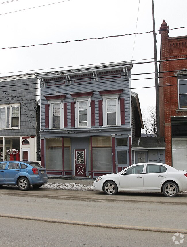
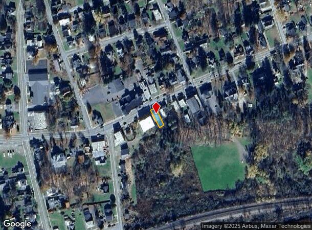
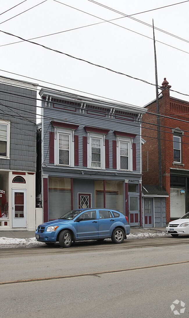
Property Record
154 Main St, Worcester, NY 12197
NEARBY LISTINGS FOR SALE OR LEASE
-
-
View all Worcester listings for sale on LoopNet.com
Property Detail
154 Main St
366600-199-018-0003-006-000-0000
Otsego
Commercialofficeresidentialmixeduse
New York
X
6.000
36077C0555E
0.07 AC
2025
Otsego County
2024
Albany/Schenectady/Troy
590702
Oneonta, NY
DEMOGRAPHICS near 154 Main St
1 Mile
3 Mile
5 Mile
2024 Total Population
564
1,165
2,863
2029 Population
533
1,119
2,767
Pop Growth 2024-2029
(5.50%)
(3.95%)
(3.35%)
Average Age
45
45
46
2024 Total Households
242
499
1,247
HH Growth 2024-2029
(6.20%)
(4.41%)
(3.53%)
Median Household Inc
$84,649
$76,478
$69,847
Avg Household Size
2.20
2.20
2.20
2024 Avg HH Vehicles
2.00
2.00
2.00
Median Home Value
$129,508
$133,982
$140,138
Median Year Built
1947
1948
1949
Nearby Places
- Restaurants
- Banks
- Shops
- Fitness
- Groceries
Nearby Properties
Address
Land Use
TOTAL SIZE
Lot Size
Zoning
Address
Land Use
TOTAL SIZE
Lot Size
Zoning
17.01 AC
RHD
Address
Land Use
TOTAL SIZE
Lot Size
Zoning
0.34 AC
RHD
Address
Land Use
TOTAL SIZE
Lot Size
Zoning
6.39 AC
RHD
Address
Land Use
TOTAL SIZE
Lot Size
Zoning
4.33 AC
RHD
Address
Land Use
TOTAL SIZE
Lot Size
Zoning
17.13 AC
R80
Address
Land Use
TOTAL SIZE
Lot Size
Zoning
190.08 AC
R80
Address
Land Use
TOTAL SIZE
Lot Size
Zoning
1.03 AC
RHD
Address
Land Use
TOTAL SIZE
Lot Size
Zoning
0.25 AC
RHD
Address
Land Use
TOTAL SIZE
Lot Size
Zoning
2.67 AC
R80
Address
Land Use
TOTAL SIZE
Lot Size
Zoning
0.70 AC
RHD
Address
Land Use
TOTAL SIZE
Lot Size
Zoning
1.07 AC
RHD
Address
Land Use
TOTAL SIZE
Lot Size
Zoning
150.02 AC
C5
Address
Land Use
TOTAL SIZE
Lot Size
Zoning
0.39 AC
RHD
Address
Land Use
TOTAL SIZE
Lot Size
Zoning
0.70 AC
RHD
Address
Land Use
TOTAL SIZE
Lot Size
Zoning
1.32 AC
R80
Address
Land Use
TOTAL SIZE
Lot Size
Zoning
312.43 AC
R80
Address
Land Use
TOTAL SIZE
Lot Size
Zoning
0.23 AC
Address
Land Use
TOTAL SIZE
Lot Size
Zoning
0.58 AC
RHD
Address
Land Use
TOTAL SIZE
Lot Size
Zoning
158 AC
C5
Address
Land Use
TOTAL SIZE
Lot Size
Zoning
0.65 AC
R80
Address
Land Use
TOTAL SIZE
Lot Size
Zoning
190.34 AC
R80
Address
Land Use
TOTAL SIZE
Lot Size
Zoning
2.92 AC
RHD
Address
Land Use
TOTAL SIZE
Lot Size
Zoning
6.98 AC
R80
Address
Land Use
TOTAL SIZE
Lot Size
Zoning
0.63 AC
R80
Address
Land Use
TOTAL SIZE
Lot Size
Zoning
151.14 AC
R80
Address
Land Use
TOTAL SIZE
Lot Size
Zoning
153.60 AC
R80
Address
Land Use
TOTAL SIZE
Lot Size
Zoning
88.60 AC
C5
Address
Land Use
TOTAL SIZE
Lot Size
Zoning
156.23 AC
R80
Address
Land Use
TOTAL SIZE
Lot Size
Zoning
2.03 AC
RHD
Address
Land Use
TOTAL SIZE
Lot Size
Zoning
0.44 AC
R80
The World's #1 Commercial Real Estate Marketplace
Connect with us
© 2025 CoStar Group
The information above has been obtained from sources believed reliable. While we do not doubt its accuracy we have not verified it and make no guarantee, warranty or representation about it. It is your responsibility to independently confirm its accuracy and completeness. Any projections, opinions, assumptions, or estimates used are for example only and do not represent the current or future performance of the property. The value of this transaction to you depends on tax and other factors which should be evaluated by your tax, financial, and legal advisors. You and your advisors should conduct a careful, independent investigation of the property to determine to your satisfaction the suitability of the property for your needs.