Property Record
1551 Agate Ave, Mentone, CA 92359
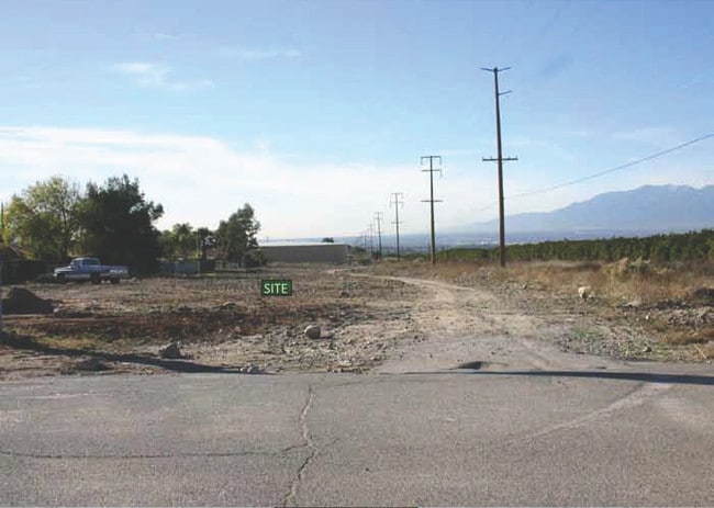

Property Detail
1551 Agate Ave
Riverside-San Bernardino-Ontario, CA
TRACT 2869 LOT 13
0298-151-01
SAN BERNARDINO
Vacantlandnec
California
RS
13
2025
0.35 AC
2025
Redlands/Loma Linda
008601
Inland Empire (California)
NEARBY LISTINGS FOR SALE OR LEASE
DEMOGRAPHICS near 1551 Agate Ave
1 mile
3 mile
5 mile
2025 Total Population
6,796
37,673
115,025
2030 Population
6,799
37,995
116,310
Pop Growth 2025-2030
+ 0.04%
+ 0.85%
+ 1.12%
Average Age
38
39
39
2025 Total Households
2,362
12,646
39,714
HH Growth 2025-2030
+ 0.17%
+ 0.96%
+ 1.18%
Median Household Inc
$83,664
$106,482
$107,895
Avg Household Size
2.80
2.80
2.80
2025 Avg HH Vehicles
2.00
2.00
2.00
Median Home Value
$475,746
$582,866
$643,604
Median Year Built
1985
1981
1980
Nearby Places
Map Layers
Map Styles
 Street
 Aerial
Layers
 Traffic
 Biking
Places
Listings with unknown addresses are not visible on the map
- Restaurants
- Banks
- Shops
- Fitness
- Groceries
PUBLIC TRANSPORTATION
COMMUTER RAIL
Redlands - University Metrolink Station (Metrolink San Bernardino Line - Metrolink Trains)
Drive
Walk
Distance
Redlands - University Metrolink Station (Metrolink San Bernardino Line - Metrolink Trains)
9 min
4.2 mi
Redlands - Downtown Metrolink Station (Metrolink San Bernardino Line - Metrolink Trains)
Drive
Walk
Distance
Redlands - Downtown Metrolink Station (Metrolink San Bernardino Line - Metrolink Trains)
10 min
4.7 mi
AIRPORT
Ontario International
Drive
Walk
Distance
Ontario International
40 min
29.2 mi
Freight Ports
Port of Long Beach
Drive
Walk
Distance
Port of Long Beach
98 min
74.5 mi
SALE & LEASE HISTORY
LISTING DATE
SALE/LEASE

Sep 21, 2021
For Sale
Mar 21, 2019
For Sale
Nearby Properties
Address
Land Use
TOTAL SIZE
Lot Size
Zoning
Address
Land Use
TOTAL SIZE
Lot Size
Zoning
56.83 AC
Address
Land Use
TOTAL SIZE
Lot Size
Zoning
166,788 SF
11.74 AC
Address
Land Use
TOTAL SIZE
Lot Size
Zoning
82,356 SF
5.10 AC
RM
Address
Land Use
TOTAL SIZE
Lot Size
Zoning
123,230 SF
6.33 AC
CGSCP
Address
Land Use
TOTAL SIZE
Lot Size
Zoning
37.87 AC
RS
Address
Land Use
TOTAL SIZE
Lot Size
Zoning
31.34 AC
Address
Land Use
TOTAL SIZE
Lot Size
Zoning
17,278 SF
5.08 AC
Address
Land Use
TOTAL SIZE
Lot Size
Zoning
2,527 SF
35.13 AC
IC
Address
Land Use
TOTAL SIZE
Lot Size
Zoning
47,280 SF
3.45 AC
Address
Land Use
TOTAL SIZE
Lot Size
Zoning
6.86 AC
IC
Address
Land Use
TOTAL SIZE
Lot Size
Zoning
36,892 SF
2.30 AC
RM
Address
Land Use
TOTAL SIZE
Lot Size
Zoning
41,000 SF
3.41 AC
Address
Land Use
TOTAL SIZE
Lot Size
Zoning
62,115 SF
13.20 AC
Address
Land Use
TOTAL SIZE
Lot Size
Zoning
15,162 SF
2.73 AC
Address
Land Use
TOTAL SIZE
Lot Size
Zoning
63,917 SF
6.61 AC
Address
Land Use
TOTAL SIZE
Lot Size
Zoning
43,250 SF
6.70 AC
Address
Land Use
TOTAL SIZE
Lot Size
Zoning
45,565 SF
4.48 AC
Address
Land Use
TOTAL SIZE
Lot Size
Zoning
16,455 SF
1.56 AC
Address
Land Use
TOTAL SIZE
Lot Size
Zoning
34.60 AC
Address
Land Use
TOTAL SIZE
Lot Size
Zoning
11,001 SF
1.08 AC
Address
Land Use
TOTAL SIZE
Lot Size
Zoning
44,294 SF
2.27 AC
IC
Address
Land Use
TOTAL SIZE
Lot Size
Zoning
28,800 SF
2 AC
R2
Address
Land Use
TOTAL SIZE
Lot Size
Zoning
51,682 SF
19.58 AC
Address
Land Use
TOTAL SIZE
Lot Size
Zoning
7,098 SF
1.28 AC
Address
Land Use
TOTAL SIZE
Lot Size
Zoning
167,130 SF
7.80 AC
Address
Land Use
TOTAL SIZE
Lot Size
Zoning
75,696 SF
3.53 AC
CGSCP
Address
Land Use
TOTAL SIZE
Lot Size
Zoning
68,800 SF
61.63 AC
AGAP
Address
Land Use
TOTAL SIZE
Lot Size
Zoning
40,428 SF
1.08 AC
Address
Land Use
TOTAL SIZE
Lot Size
Zoning
14,820 SF
1.72 AC
Address
Land Use
TOTAL SIZE
Lot Size
Zoning
154,268 SF
2.20 AC
IC
The World's #1 Commercial Real Estate Marketplace
Connect with us
© 2026 CoStar Group
The information above has been obtained from sources believed reliable. While we do not doubt its accuracy we have not verified it and make no guarantee, warranty or representation about it. It is your responsibility to independently confirm its accuracy and completeness. Any projections, opinions, assumptions, or estimates used are for example only and do not represent the current or future performance of the property. The value of this transaction to you depends on tax and other factors which should be evaluated by your tax, financial, and legal advisors. You and your advisors should conduct a careful, independent investigation of the property to determine to your satisfaction the suitability of the property for your needs.