Property Record
15601 Whiting Cir, Bennington, NE 68007
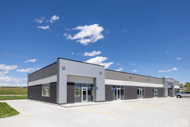

Property Detail
15601 Whiting Cir
1214-6987-20
PINE CREEK LOT 482 BLOCK 0 IRREG 1.839 AC
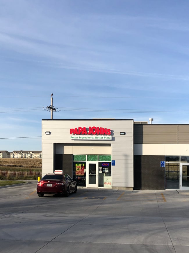
Regionalshoppingcenterormallwithanchorstore
DOUGLAS
MU
Nebraska
B and X Area of moderate flood hazard, usually the area between the limits of the 100-year and 500-year floods.
482
2025
1.84 AC
2025
Northwest Omaha
007318
Omaha/Council Bluffs
12,556 SF
Omaha, NE-IA
NEARBY LISTINGS FOR SALE OR LEASE
DEMOGRAPHICS near 15601 Whiting Cir
1 mile
3 mile
5 mile
2025 Total Population
9,458
48,314
117,321
2030 Population
10,027
50,601
121,651
Pop Growth 2025-2030
+ 6.02%
+ 4.73%
+ 3.69%
Average Age
33
37
38
2025 Total Households
2,933
17,377
43,775
HH Growth 2025-2030
+ 6.07%
+ 4.68%
+ 3.70%
Median Household Inc
$137,051
$125,701
$114,213
Avg Household Size
3.20
2.80
2.60
2025 Avg HH Vehicles
2.00
2.00
2.00
Median Home Value
$375,060
$360,590
$341,795
Median Year Built
2010
2007
2001
Nearby Places
Map Layers
Map Styles
 Street
 Aerial
Layers
 Traffic
 Biking
Places
Listings with unknown addresses are not visible on the map
- Restaurants
- Banks
- Shops
- Fitness
- Groceries
PUBLIC TRANSPORTATION
AIRPORT
Eppley Airfield
Drive
Walk
Distance
Eppley Airfield
33 min
17.4 mi
Freight Ports
Tulsa Port Of Catoosa
Drive
Walk
Distance
Tulsa Port Of Catoosa
487 min
434.7 mi
SALE & LEASE HISTORY
LISTING DATE
SALE/LEASE

Jul 08, 2021
For Lease
Feb 24, 2023
For Lease
Nearby Properties
Address
Land Use
TOTAL SIZE
Lot Size
Zoning
Address
Land Use
TOTAL SIZE
Lot Size
Zoning
396,428 SF
14.45 AC
R6
Address
Land Use
TOTAL SIZE
Lot Size
Zoning
311,856 SF
19.22 AC
Address
Land Use
TOTAL SIZE
Lot Size
Zoning
339,557 SF
12.89 AC
R7
Address
Land Use
TOTAL SIZE
Lot Size
Zoning
350,925 SF
12.71 AC
Address
Land Use
TOTAL SIZE
Lot Size
Zoning
320,111 SF
19.17 AC
R4
Address
Land Use
TOTAL SIZE
Lot Size
Zoning
301,689 SF
8.82 AC
Address
Land Use
TOTAL SIZE
Lot Size
Zoning
261,247 SF
13.20 AC
Address
Land Use
TOTAL SIZE
Lot Size
Zoning
228,963 SF
7.36 AC
Address
Land Use
TOTAL SIZE
Lot Size
Zoning
149,081 SF
9.01 AC
Address
Land Use
TOTAL SIZE
Lot Size
Zoning
189,099 SF
7.13 AC
Address
Land Use
TOTAL SIZE
Lot Size
Zoning
166,080 SF
6.25 AC
R6
Address
Land Use
TOTAL SIZE
Lot Size
Zoning
207,693 SF
21.62 AC
MU
Address
Land Use
TOTAL SIZE
Lot Size
Zoning
173,593 SF
5.70 AC
R6PUD
Address
Land Use
TOTAL SIZE
Lot Size
Zoning
169,654 SF
8.02 AC
Address
Land Use
TOTAL SIZE
Lot Size
Zoning
137,022 SF
5.83 AC
R6
Address
Land Use
TOTAL SIZE
Lot Size
Zoning
126,496 SF
2.96 AC
MU
Address
Land Use
TOTAL SIZE
Lot Size
Zoning
121,376 SF
4.21 AC
Address
Land Use
TOTAL SIZE
Lot Size
Zoning
116,097 SF
12.93 AC
MU
Address
Land Use
TOTAL SIZE
Lot Size
Zoning
95,756 SF
2.96 AC
Address
Land Use
TOTAL SIZE
Lot Size
Zoning
106,465 SF
11.11 AC
Address
Land Use
TOTAL SIZE
Lot Size
Zoning
80,791 SF
3.92 AC
R6
Address
Land Use
TOTAL SIZE
Lot Size
Zoning
37,829 SF
3.80 AC
MU
Address
Land Use
TOTAL SIZE
Lot Size
Zoning
79,669 SF
4.75 AC
MU
Address
Land Use
TOTAL SIZE
Lot Size
Zoning
44,516 SF
5.40 AC
MU
Address
Land Use
TOTAL SIZE
Lot Size
Zoning
56,838 SF
2.42 AC
Address
Land Use
TOTAL SIZE
Lot Size
Zoning
93,360 SF
5.40 AC
MU
Address
Land Use
TOTAL SIZE
Lot Size
Zoning
146,652 SF
7.24 AC
Address
Land Use
TOTAL SIZE
Lot Size
Zoning
94,236 SF
3.09 AC
Address
Land Use
TOTAL SIZE
Lot Size
Zoning
27,059 SF
2.79 AC
MU
Address
Land Use
TOTAL SIZE
Lot Size
Zoning
50,125 SF
4.43 AC
MU
The World's #1 Commercial Real Estate Marketplace
Connect with us
© 2026 CoStar Group
The information above has been obtained from sources believed reliable. While we do not doubt its accuracy we have not verified it and make no guarantee, warranty or representation about it. It is your responsibility to independently confirm its accuracy and completeness. Any projections, opinions, assumptions, or estimates used are for example only and do not represent the current or future performance of the property. The value of this transaction to you depends on tax and other factors which should be evaluated by your tax, financial, and legal advisors. You and your advisors should conduct a careful, independent investigation of the property to determine to your satisfaction the suitability of the property for your needs.