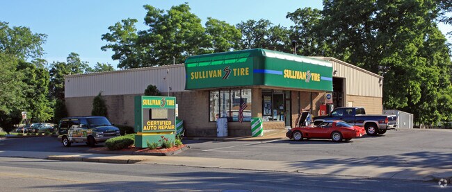
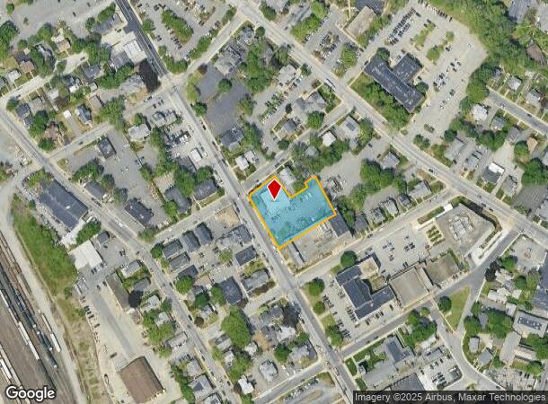
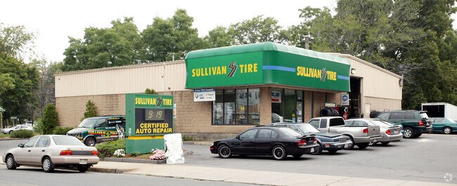
Property Record
157 Union Ave, Framingham, MA 01702

NEARBY LISTINGS FOR SALE OR LEASE
Property Detail
157 Union Ave
FRAM-000128-000087-001838
Middlesex
Autorepair
Massachusetts
X
1838
25017C0516F
0.80 AC
2025
Framingham/Natick
2025
Boston
383401
Boston-Cambridge-Newton, MA-NH
5,040 SF
DEMOGRAPHICS near 157 Union Ave
1 Mile
3 Mile
5 Mile
2024 Total Population
20,414
79,920
146,669
2029 Population
20,329
79,350
145,484
Pop Growth 2024-2029
(0.42%)
(0.71%)
(0.81%)
Average Age
37
39
41
2024 Total Households
7,593
30,864
56,281
HH Growth 2024-2029
(0.46%)
(0.77%)
(0.89%)
Median Household Inc
$60,908
$90,918
$111,118
Avg Household Size
2.50
2.40
2.50
2024 Avg HH Vehicles
1.00
2.00
2.00
Median Home Value
$422,017
$527,970
$629,744
Median Year Built
1956
1967
1967
Nearby Places
Map Layers
Map Styles
 Street
 Aerial
- Restaurants
- Banks
- Shops
- Fitness
- Groceries
PUBLIC TRANSPORTATION
TRANSIT/SUBWAY
Framingham (Framingham/Worcester Line - Massachusetts Bay Transportation Authority Commuter Rail (Purple Line))
DRIVE
WALK
Distance
Framingham (Framingham/Worcester Line - Massachusetts Bay Transportation Authority Commuter Rail (Purple Line))
2 min
13 min
0.5 mi
COMMUTER RAIL
Framingham (Framingham/Worcester Line - Massachusetts Bay Transportation Authority Commuter Rail (Purple Line))
DRIVE
WALK
Distance
Framingham (Framingham/Worcester Line - Massachusetts Bay Transportation Authority Commuter Rail (Purple Line))
2 min
13 min
0.5 mi
DRIVE
WALK
Distance
2 min
12 min
0.6 mi
AIRPORT
General Edward Lawrence Logan International
DRIVE
WALK
Distance
General Edward Lawrence Logan International
38 min
24.8 mi
Worcester Regional
DRIVE
WALK
Distance
Worcester Regional
45 min
25.9 mi
Nearby Properties
Address
Land Use
TOTAL SIZE
Lot Size
Zoning
Address
Land Use
TOTAL SIZE
Lot Size
Zoning
246,505 SF
6.48 AC
INII
Address
Land Use
TOTAL SIZE
Lot Size
Zoning
478,440 SF
11.97 AC
B
Address
Land Use
TOTAL SIZE
Lot Size
Zoning
396,002 SF
44.44 AC
R1
Address
Land Use
TOTAL SIZE
Lot Size
Zoning
509,007 SF
22.27 AC
HM-I
Address
Land Use
TOTAL SIZE
Lot Size
Zoning
304,444 SF
16.88 AC
INII
Address
Land Use
TOTAL SIZE
Lot Size
Zoning
94,545 SF
11.70 AC
RSA
Address
Land Use
TOTAL SIZE
Lot Size
Zoning
188,746 SF
46.90 AC
RSA
Address
Land Use
TOTAL SIZE
Lot Size
Zoning
340,840 SF
4.25 AC
B
Address
Land Use
TOTAL SIZE
Lot Size
Zoning
137,000 SF
18.96 AC
R1
Address
Land Use
TOTAL SIZE
Lot Size
Zoning
292,608 SF
5.19 AC
B
Address
Land Use
TOTAL SIZE
Lot Size
Zoning
837,977 SF
18.57 AC
M1
Address
Land Use
TOTAL SIZE
Lot Size
Zoning
493,918 SF
28.90 AC
R1
Address
Land Use
TOTAL SIZE
Lot Size
Zoning
293,180 SF
5.10 AC
B
Address
Land Use
TOTAL SIZE
Lot Size
Zoning
315,055 SF
40.38 AC
G
Address
Land Use
TOTAL SIZE
Lot Size
Zoning
20,704 SF
13.36 AC
PCD
Address
Land Use
TOTAL SIZE
Lot Size
Zoning
264,247 SF
6.09 AC
M1
Address
Land Use
TOTAL SIZE
Lot Size
Zoning
273,474 SF
7.46 AC
B
Address
Land Use
TOTAL SIZE
Lot Size
Zoning
269,426 SF
HM-II
Address
Land Use
TOTAL SIZE
Lot Size
Zoning
256,830 SF
12.61 AC
B
Address
Land Use
TOTAL SIZE
Lot Size
Zoning
207,522 SF
10.11 AC
B
Address
Land Use
TOTAL SIZE
Lot Size
Zoning
191,520 SF
7.99 AC
B
Address
Land Use
TOTAL SIZE
Lot Size
Zoning
191,520 SF
5.03 AC
B
Address
Land Use
TOTAL SIZE
Lot Size
Zoning
79.30 AC
RSA
Address
Land Use
TOTAL SIZE
Lot Size
Zoning
198,692 SF
2.60 AC
CII
Address
Land Use
TOTAL SIZE
Lot Size
Zoning
244,033 SF
25.75 AC
R1
Address
Land Use
TOTAL SIZE
Lot Size
Zoning
199,320 SF
16.65 AC
RSA
Address
Land Use
TOTAL SIZE
Lot Size
Zoning
108.84 AC
M
Address
Land Use
TOTAL SIZE
Lot Size
Zoning
372,275 SF
3.05 AC
CB
Address
Land Use
TOTAL SIZE
Lot Size
Zoning
139,356 SF
52 AC
30
Address
Land Use
TOTAL SIZE
Lot Size
Zoning
251,366 SF
14.42 AC
G
The World's #1 Commercial Real Estate Marketplace
Connect with us
© 2026 CoStar Group
The information above has been obtained from sources believed reliable. While we do not doubt its accuracy we have not verified it and make no guarantee, warranty or representation about it. It is your responsibility to independently confirm its accuracy and completeness. Any projections, opinions, assumptions, or estimates used are for example only and do not represent the current or future performance of the property. The value of this transaction to you depends on tax and other factors which should be evaluated by your tax, financial, and legal advisors. You and your advisors should conduct a careful, independent investigation of the property to determine to your satisfaction the suitability of the property for your needs.