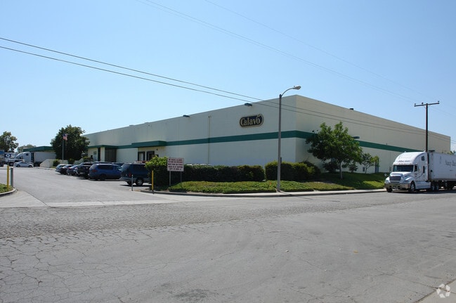
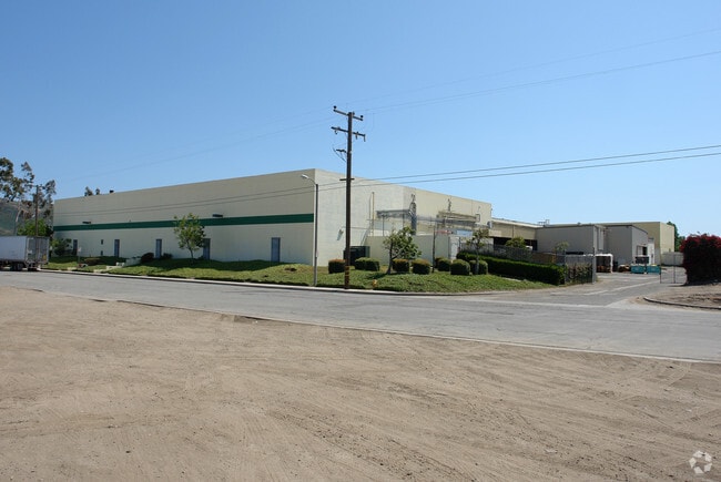
Property Record
15765 W Telegraph Rd, Santa Paula, CA 93060

NEARBY LISTINGS FOR SALE OR LEASE
Property Detail
15765 W Telegraph Rd
097-0-040-115
PR APN 0970040105
Packing
Ventura
X
California
06111C0779F
7.88 AC
2024
Central Ventura
2025
Los Angeles
000800
Oxnard-Thousand Oaks-Ventura, CA
84,194 SF
DEMOGRAPHICS near 15765 W Telegraph Rd
1 Mile
3 Mile
5 Mile
2024 Total Population
10,834
30,872
38,191
2029 Population
10,720
30,519
37,972
Pop Growth 2024-2029
(1.05%)
(1.14%)
(0.57%)
Average Age
38
37
38
2024 Total Households
3,178
8,951
11,341
HH Growth 2024-2029
(1.23%)
(1.27%)
(0.66%)
Median Household Inc
$79,791
$70,232
$72,854
Avg Household Size
3.40
3.40
3.30
2024 Avg HH Vehicles
2.00
2.00
2.00
Median Home Value
$443,560
$494,083
$514,734
Median Year Built
1970
1966
1968
Nearby Places
Map Layers
Map Styles
 Street
 Aerial
- Restaurants
- Banks
- Shops
- Fitness
- Groceries
Nearby Properties
Address
Land Use
TOTAL SIZE
Lot Size
Zoning
Address
Land Use
TOTAL SIZE
Lot Size
Zoning
12,253 SF
16.59 AC
Address
Land Use
TOTAL SIZE
Lot Size
Zoning
12.03 AC
AE
Address
Land Use
TOTAL SIZE
Lot Size
Zoning
87,287 SF
5.86 AC
Address
Land Use
TOTAL SIZE
Lot Size
Zoning
6,200 SF
18.34 AC
M3
Address
Land Use
TOTAL SIZE
Lot Size
Zoning
6,600 SF
9.79 AC
M3
Address
Land Use
TOTAL SIZE
Lot Size
Zoning
105,773 SF
3.70 AC
M1
Address
Land Use
TOTAL SIZE
Lot Size
Zoning
41,050 SF
3.32 AC
MULT
Address
Land Use
TOTAL SIZE
Lot Size
Zoning
19,527 SF
29.36 AC
AE
Address
Land Use
TOTAL SIZE
Lot Size
Zoning
11.01 AC
M2
Address
Land Use
TOTAL SIZE
Lot Size
Zoning
Address
Land Use
TOTAL SIZE
Lot Size
Zoning
64,759 SF
4.01 AC
Address
Land Use
TOTAL SIZE
Lot Size
Zoning
24,660 SF
1.64 AC
Address
Land Use
TOTAL SIZE
Lot Size
Zoning
31,852 SF
2.46 AC
C1PD
Address
Land Use
TOTAL SIZE
Lot Size
Zoning
36,096 SF
5.74 AC
M1L
Address
Land Use
TOTAL SIZE
Lot Size
Zoning
23,591 SF
0.94 AC
Address
Land Use
TOTAL SIZE
Lot Size
Zoning
26,228 SF
1.08 AC
Address
Land Use
TOTAL SIZE
Lot Size
Zoning
13.59 AC
AEA-E/
Address
Land Use
TOTAL SIZE
Lot Size
Zoning
1,438 SF
51.64 AC
AE
Address
Land Use
TOTAL SIZE
Lot Size
Zoning
21,406 SF
6.01 AC
M1L
Address
Land Use
TOTAL SIZE
Lot Size
Zoning
66,439 SF
3.50 AC
Address
Land Use
TOTAL SIZE
Lot Size
Zoning
18,338 SF
0.96 AC
C2
Address
Land Use
TOTAL SIZE
Lot Size
Zoning
49,552 SF
4.93 AC
Address
Land Use
TOTAL SIZE
Lot Size
Zoning
11.58 AC
AE
Address
Land Use
TOTAL SIZE
Lot Size
Zoning
1.95 AC
RA
Address
Land Use
TOTAL SIZE
Lot Size
Zoning
13,210 SF
2.80 AC
M1L
Address
Land Use
TOTAL SIZE
Lot Size
Zoning
1,242 SF
66 AC
AE
The World's #1 Commercial Real Estate Marketplace
Connect with us
© 2025 CoStar Group
The information above has been obtained from sources believed reliable. While we do not doubt its accuracy we have not verified it and make no guarantee, warranty or representation about it. It is your responsibility to independently confirm its accuracy and completeness. Any projections, opinions, assumptions, or estimates used are for example only and do not represent the current or future performance of the property. The value of this transaction to you depends on tax and other factors which should be evaluated by your tax, financial, and legal advisors. You and your advisors should conduct a careful, independent investigation of the property to determine to your satisfaction the suitability of the property for your needs.