Property Record
158 Tannehill Dr, Abilene, TX 79602

Property Detail
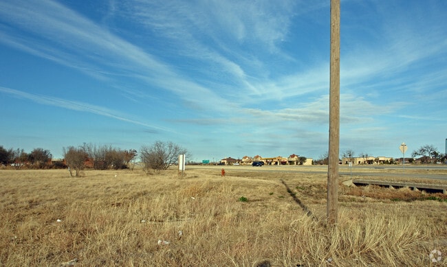
158 Tannehill Dr
Abilene, TX
LONE OAK INDUSTRIAL PARK SEC 3, BLOCK C, LOT 20
75490
TAYLOR
Multipleuses
Texas
B and X Area of moderate flood hazard, usually the area between the limits of the 100-year and 500-year floods.
20
2024
1.60 AC
2025
Abilene
012000
Other Market Areas
2,400 SF
NEARBY LISTINGS FOR SALE OR LEASE
DEMOGRAPHICS near 158 Tannehill Dr
1 mile
3 mile
5 mile
2025 Total Population
2,530
29,155
86,244
2030 Population
2,648
30,142
89,211
Pop Growth 2025-2030
+ 4.66%
+ 3.39%
+ 3.44%
Average Age
33
39
38
2025 Total Households
825
11,093
34,109
HH Growth 2025-2030
+ 4.73%
+ 3.43%
+ 3.56%
Median Household Inc
$94,149
$85,162
$66,769
Avg Household Size
2.80
2.40
2.40
2025 Avg HH Vehicles
2.00
2.00
2.00
Median Home Value
$268,327
$234,971
$215,759
Median Year Built
2010
1981
1977
Nearby Places
Map Layers
Map Styles
 Street
 Aerial
Layers
 Traffic
 Biking
Places
Listings with unknown addresses are not visible on the map
- Restaurants
- Banks
- Shops
- Fitness
- Groceries
PUBLIC TRANSPORTATION
AIRPORT
Abilene Regional
Drive
Walk
Distance
Abilene Regional
11 min
6.4 mi
Freight Ports
Calhoun Port
Drive
Walk
Distance
Calhoun Port
433 min
371.9 mi
Nearby Properties
Address
Land Use
TOTAL SIZE
Lot Size
Zoning
Address
Land Use
TOTAL SIZE
Lot Size
Zoning
241,730 SF
51.89 AC
Address
Land Use
TOTAL SIZE
Lot Size
Zoning
411,104 SF
91.21 AC
Address
Land Use
TOTAL SIZE
Lot Size
Zoning
256,877 SF
11.04 AC
Address
Land Use
TOTAL SIZE
Lot Size
Zoning
117,390 SF
28.79 AC
Address
Land Use
TOTAL SIZE
Lot Size
Zoning
129,462 SF
69.58 AC
Address
Land Use
TOTAL SIZE
Lot Size
Zoning
421,730 SF
30.12 AC
Address
Land Use
TOTAL SIZE
Lot Size
Zoning
320,276 SF
50.74 AC
Address
Land Use
TOTAL SIZE
Lot Size
Zoning
114,617 SF
23.73 AC
Address
Land Use
TOTAL SIZE
Lot Size
Zoning
180,936 SF
31.23 AC
Address
Land Use
TOTAL SIZE
Lot Size
Zoning
76,727 SF
4.50 AC
Address
Land Use
TOTAL SIZE
Lot Size
Zoning
92,427 SF
21.52 AC
Address
Land Use
TOTAL SIZE
Lot Size
Zoning
58,988 SF
1,463.70 AC
Address
Land Use
TOTAL SIZE
Lot Size
Zoning
620,165 SF
107.40 AC
Address
Land Use
TOTAL SIZE
Lot Size
Zoning
167,314 SF
11.01 AC
Address
Land Use
TOTAL SIZE
Lot Size
Zoning
70,076 SF
24.79 AC
Address
Land Use
TOTAL SIZE
Lot Size
Zoning
195,960 SF
11.07 AC
Address
Land Use
TOTAL SIZE
Lot Size
Zoning
187,944 SF
8.69 AC
Address
Land Use
TOTAL SIZE
Lot Size
Zoning
200,648 SF
8.98 AC
Address
Land Use
TOTAL SIZE
Lot Size
Zoning
6.55 AC
Address
Land Use
TOTAL SIZE
Lot Size
Zoning
71,515 SF
9.94 AC
Address
Land Use
TOTAL SIZE
Lot Size
Zoning
79,879 SF
2.86 AC
Address
Land Use
TOTAL SIZE
Lot Size
Zoning
71,892 SF
3.75 AC
Address
Land Use
TOTAL SIZE
Lot Size
Zoning
146,819 SF
9.75 AC
Address
Land Use
TOTAL SIZE
Lot Size
Zoning
4,500 SF
18.85 AC
Address
Land Use
TOTAL SIZE
Lot Size
Zoning
82,182 SF
7.59 AC
Address
Land Use
TOTAL SIZE
Lot Size
Zoning
138,432 SF
7.06 AC
Address
Land Use
TOTAL SIZE
Lot Size
Zoning
145,288 SF
8.78 AC
Address
Land Use
TOTAL SIZE
Lot Size
Zoning
76,717 SF
5.84 AC
Address
Land Use
TOTAL SIZE
Lot Size
Zoning
143,931 SF
13.21 AC
Address
Land Use
TOTAL SIZE
Lot Size
Zoning
90,369 SF
8.28 AC
The World's #1 Commercial Real Estate Marketplace
Connect with us
© 2026 CoStar Group
The information above has been obtained from sources believed reliable. While we do not doubt its accuracy we have not verified it and make no guarantee, warranty or representation about it. It is your responsibility to independently confirm its accuracy and completeness. Any projections, opinions, assumptions, or estimates used are for example only and do not represent the current or future performance of the property. The value of this transaction to you depends on tax and other factors which should be evaluated by your tax, financial, and legal advisors. You and your advisors should conduct a careful, independent investigation of the property to determine to your satisfaction the suitability of the property for your needs.