Property Record
15833 N Us Highway 301, Citra, FL 32113


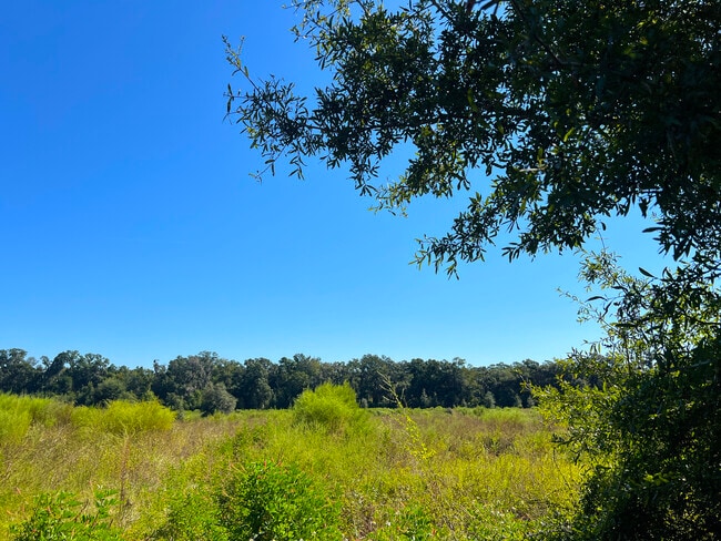
This Property Is For Sale
NEARBY LISTINGS FOR SALE OR LEASE
-
-
View all Citra listings for sale on LoopNet.com
Property Detail
15833 N Us Highway 301
07619-001-00
SEC 08 TWP 13 RGE 22 N 1/2 OF NE 1/4 E OF HWY 301
Charitableorganization
Marion
X
Florida
12083C0145D
61 AC
2025
Outlying Marion County
2025
Ocala
000201
Ocala, FL
42,395 SF
DEMOGRAPHICS near 15833 N Us Highway 301
1 Mile
3 Mile
5 Mile
2024 Total Population
801
5,222
11,498
2029 Population
906
5,953
13,072
Pop Growth 2024-2029
+ 13.11%
+ 14.00%
+ 13.69%
Average Age
43
44
44
2024 Total Households
332
2,142
4,545
HH Growth 2024-2029
+ 13.25%
+ 14.24%
+ 13.99%
Median Household Inc
$50,455
$65,640
$58,483
Avg Household Size
2.40
2.40
2.40
2024 Avg HH Vehicles
2.00
2.00
2.00
Median Home Value
$362,499
$319,355
$288,454
Median Year Built
1986
1988
1988
Nearby Places
Map Layers
Map Styles
 Street
 Aerial
- Restaurants
- Banks
- Shops
- Fitness
- Groceries
PUBLIC TRANSPORTATION
AIRPORT
Gainesville Regional
DRIVE
WALK
Distance
Gainesville Regional
49 min
34.7 mi
Nearby Properties
Address
Land Use
TOTAL SIZE
Lot Size
Zoning
Address
Land Use
TOTAL SIZE
Lot Size
Zoning
191,168 SF
30 AC
A1
Address
Land Use
TOTAL SIZE
Lot Size
Zoning
91,144 SF
30.19 AC
A1
Address
Land Use
TOTAL SIZE
Lot Size
Zoning
40,022 SF
61 AC
A1
Address
Land Use
TOTAL SIZE
Lot Size
Zoning
7,730 SF
117 AC
A1
Address
Land Use
TOTAL SIZE
Lot Size
Zoning
7,770 SF
4.50 AC
B2
Address
Land Use
TOTAL SIZE
Lot Size
Zoning
5,358 SF
61.73 AC
GU
Address
Land Use
TOTAL SIZE
Lot Size
Zoning
320 AC
A1
Address
Land Use
TOTAL SIZE
Lot Size
Zoning
12,691 SF
2.26 AC
B4
Address
Land Use
TOTAL SIZE
Lot Size
Zoning
21,000 SF
8.95 AC
B4
Address
Land Use
TOTAL SIZE
Lot Size
Zoning
35,779 SF
10.45 AC
B5
Address
Land Use
TOTAL SIZE
Lot Size
Zoning
768 SF
6.26 AC
RR
Address
Land Use
TOTAL SIZE
Lot Size
Zoning
12,792 SF
12.05 AC
R4
Address
Land Use
TOTAL SIZE
Lot Size
Zoning
12,500 SF
7.75 AC
B5
Address
Land Use
TOTAL SIZE
Lot Size
Zoning
5,650 SF
8.90 AC
A1
Address
Land Use
TOTAL SIZE
Lot Size
Zoning
7,305 SF
56.85 AC
A1
Address
Land Use
TOTAL SIZE
Lot Size
Zoning
8,381 SF
1.82 AC
A1
Address
Land Use
TOTAL SIZE
Lot Size
Zoning
7,131 SF
294 AC
A1
Address
Land Use
TOTAL SIZE
Lot Size
Zoning
8,320 SF
1.09 AC
B4
Address
Land Use
TOTAL SIZE
Lot Size
Zoning
6,000 SF
7 AC
A1
Address
Land Use
TOTAL SIZE
Lot Size
Zoning
4,753 SF
4.82 AC
B4
Address
Land Use
TOTAL SIZE
Lot Size
Zoning
5,551 SF
103 AC
A1
Address
Land Use
TOTAL SIZE
Lot Size
Zoning
4,242 SF
25.77 AC
A1
Address
Land Use
TOTAL SIZE
Lot Size
Zoning
5,400 SF
3 AC
B2
Address
Land Use
TOTAL SIZE
Lot Size
Zoning
5,474 SF
6.45 AC
RC1
Address
Land Use
TOTAL SIZE
Lot Size
Zoning
2,400 SF
10.01 AC
A1
Address
Land Use
TOTAL SIZE
Lot Size
Zoning
5,225 SF
560.95 AC
A1
Address
Land Use
TOTAL SIZE
Lot Size
Zoning
2,405 SF
9.97 AC
A1
Address
Land Use
TOTAL SIZE
Lot Size
Zoning
4,965 SF
1.53 AC
B4
Address
Land Use
TOTAL SIZE
Lot Size
Zoning
4,866 SF
40.76 AC
A1
Address
Land Use
TOTAL SIZE
Lot Size
Zoning
6,158 SF
3.50 AC
B4
The World's #1 Commercial Real Estate Marketplace
Connect with us
© 2026 CoStar Group
The information above has been obtained from sources believed reliable. While we do not doubt its accuracy we have not verified it and make no guarantee, warranty or representation about it. It is your responsibility to independently confirm its accuracy and completeness. Any projections, opinions, assumptions, or estimates used are for example only and do not represent the current or future performance of the property. The value of this transaction to you depends on tax and other factors which should be evaluated by your tax, financial, and legal advisors. You and your advisors should conduct a careful, independent investigation of the property to determine to your satisfaction the suitability of the property for your needs.