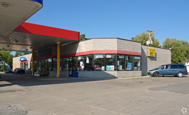
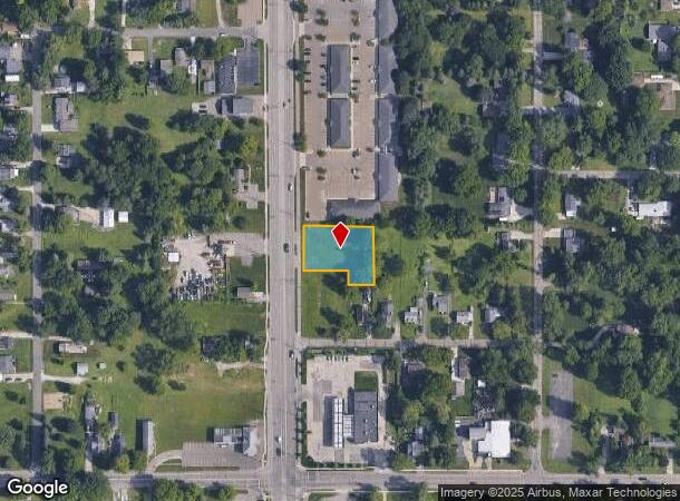
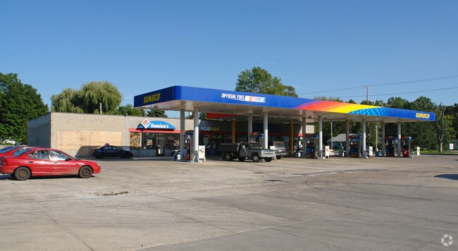
Property Record
15891 S Us Highway 27, Lansing, MI 48906
NEARBY LISTINGS FOR SALE OR LEASE
Property Detail
15891 S Us Highway 27
Lansing-East Lansing, MI
Boichot Acres
050-131-000-058-00
N 151.5 FT LOT 59
Commercialacreage
Clinton
X
Michigan
26065C0020D
59
0
0.53 AC
2025
Central Lansing
003200
West Michigan
DEMOGRAPHICS near 15891 S Us Highway 27
1 Mile
3 Mile
5 Mile
2024 Total Population
2,787
35,986
127,067
2029 Population
2,911
36,376
128,085
Pop Growth 2024-2029
+ 4.45%
+ 1.08%
+ 0.80%
Average Age
44
38
37
2024 Total Households
1,233
15,458
53,961
HH Growth 2024-2029
+ 4.38%
+ 0.98%
+ 0.78%
Median Household Inc
$56,738
$53,123
$52,920
Avg Household Size
2.20
2.20
2.20
2024 Avg HH Vehicles
2.00
2.00
2.00
Median Home Value
$135,294
$138,594
$168,251
Median Year Built
1963
1967
1967
Nearby Places
Map Layers
Map Styles
 Street
 Aerial
- Restaurants
- Banks
- Shops
- Fitness
- Groceries
PUBLIC TRANSPORTATION
COMMUTER RAIL
DRIVE
WALK
Distance
14 min
7.2 mi
AIRPORT
Capital Region International
DRIVE
WALK
Distance
Capital Region International
11 min
4.4 mi
Nearby Properties
Address
Land Use
TOTAL SIZE
Lot Size
Zoning
Address
Land Use
TOTAL SIZE
Lot Size
Zoning
42,875 SF
35 AC
PD
Address
Land Use
TOTAL SIZE
Lot Size
Zoning
7,579 SF
83.53 AC
PD
Address
Land Use
TOTAL SIZE
Lot Size
Zoning
42,875 SF
28.77 AC
Address
Land Use
TOTAL SIZE
Lot Size
Zoning
66.43 AC
Address
Land Use
TOTAL SIZE
Lot Size
Zoning
16,466 SF
14.82 AC
DEVELOPMEN
Address
Land Use
TOTAL SIZE
Lot Size
Zoning
2,137 SF
12.72 AC
H LT IN
Address
Land Use
TOTAL SIZE
Lot Size
Zoning
20,438 SF
17.81 AC
DEVELOPMEN
Address
Land Use
TOTAL SIZE
Lot Size
Zoning
183,047 SF
24.36 AC
B4
Address
Land Use
TOTAL SIZE
Lot Size
Zoning
142,152 SF
47.56 AC
B4
Address
Land Use
TOTAL SIZE
Lot Size
Zoning
51,248 SF
4.85 AC
I HVY
Address
Land Use
TOTAL SIZE
Lot Size
Zoning
118,415 SF
4.74 AC
RM22
Address
Land Use
TOTAL SIZE
Lot Size
Zoning
63.94 AC
Address
Land Use
TOTAL SIZE
Lot Size
Zoning
61,194 SF
0.55 AC
F COMME
Address
Land Use
TOTAL SIZE
Lot Size
Zoning
2,000 SF
0.91 AC
PD
Address
Land Use
TOTAL SIZE
Lot Size
Zoning
5,180 SF
16.94 AC
M2
Address
Land Use
TOTAL SIZE
Lot Size
Zoning
77,044 SF
15.94 AC
B4
Address
Land Use
TOTAL SIZE
Lot Size
Zoning
208,944 SF
26.64 AC
B5
Address
Land Use
TOTAL SIZE
Lot Size
Zoning
2,092 SF
152.25 AC
MHP
Address
Land Use
TOTAL SIZE
Lot Size
Zoning
16,314 SF
7.74 AC
DEVELOPMEN
Address
Land Use
TOTAL SIZE
Lot Size
Zoning
17,052 SF
6 AC
RM22
Address
Land Use
TOTAL SIZE
Lot Size
Zoning
152,000 SF
8.49 AC
RM22
Address
Land Use
TOTAL SIZE
Lot Size
Zoning
20,855 SF
10.93 AC
RM-08
Address
Land Use
TOTAL SIZE
Lot Size
Zoning
130,000 SF
10.81 AC
RM22
Address
Land Use
TOTAL SIZE
Lot Size
Zoning
140,221 SF
9.53 AC
RM22
Address
Land Use
TOTAL SIZE
Lot Size
Zoning
35,078 SF
9.15 AC
Address
Land Use
TOTAL SIZE
Lot Size
Zoning
100,084 SF
2.43 AC
B RESID
Address
Land Use
TOTAL SIZE
Lot Size
Zoning
67,800 SF
5.67 AC
B5
Address
Land Use
TOTAL SIZE
Lot Size
Zoning
8,788 SF
8.45 AC
RM22
Address
Land Use
TOTAL SIZE
Lot Size
Zoning
18,120 SF
17.98 AC
I HVY
Address
Land Use
TOTAL SIZE
Lot Size
Zoning
115,010 SF
4.14 AC
RM22
The World's #1 Commercial Real Estate Marketplace
Connect with us
© 2026 CoStar Group
The information above has been obtained from sources believed reliable. While we do not doubt its accuracy we have not verified it and make no guarantee, warranty or representation about it. It is your responsibility to independently confirm its accuracy and completeness. Any projections, opinions, assumptions, or estimates used are for example only and do not represent the current or future performance of the property. The value of this transaction to you depends on tax and other factors which should be evaluated by your tax, financial, and legal advisors. You and your advisors should conduct a careful, independent investigation of the property to determine to your satisfaction the suitability of the property for your needs.