Property Record
1594 Aurelius Rd, Holt, MI 48842


Property Detail
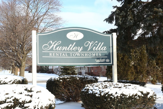
1594 Aurelius Rd
25-05-23-301-003
(D 23-25) COM AT W 1/4 COR SEC 23, TH S00?50'33E 830 FT, TH N89?40'01E 60 FT TO POB
Multifamilydwelling
Ingham
RM-1
Michigan
B and X Area of moderate flood hazard, usually the area between the limits of the 100-year and 500-year floods.
7
2024
8.53 AC
2025
Outer Ingham County
005502
West Michigan
7,341 SF
Lansing-East Lansing, MI
NEARBY LISTINGS FOR SALE OR LEASE
-
-
View all Holt listings for sale on LoopNet.com
DEMOGRAPHICS near 1594 Aurelius Rd
1 mile
3 mile
5 mile
2025 Total Population
6,102
27,919
64,708
2030 Population
6,128
28,121
65,276
Pop Growth 2025-2030
+ 0.43%
+ 0.72%
+ 0.88%
Average Age
41
40
39
2025 Total Households
2,498
11,862
27,114
HH Growth 2025-2030
+ 0.44%
+ 0.80%
+ 0.98%
Median Household Inc
$86,586
$78,420
$68,186
Avg Household Size
2.40
2.30
2.30
2025 Avg HH Vehicles
2.00
2.00
2.00
Median Home Value
$196,239
$205,784
$177,855
Median Year Built
1976
1978
1975
Nearby Places
Map Layers
Map Styles
 Street
 Aerial
Layers
 Traffic
 Biking
Places
Listings with unknown addresses are not visible on the map
- Restaurants
- Banks
- Shops
- Fitness
- Groceries
PUBLIC TRANSPORTATION
AIRPORT
Capital Region International
Drive
Walk
Distance
Capital Region International
24 min
12.3 mi
Freight Ports
Port of Toledo
Drive
Walk
Distance
Port of Toledo
142 min
108.0 mi
Nearby Properties
Address
Land Use
TOTAL SIZE
Lot Size
Zoning
Address
Land Use
TOTAL SIZE
Lot Size
Zoning
21,447 SF
56.20 AC
RM
Address
Land Use
TOTAL SIZE
Lot Size
Zoning
178,096 SF
22.80 AC
IP
Address
Land Use
TOTAL SIZE
Lot Size
Zoning
269,915 SF
Address
Land Use
TOTAL SIZE
Lot Size
Zoning
410 AC
Address
Land Use
TOTAL SIZE
Lot Size
Zoning
912 SF
20.97 AC
RM
Address
Land Use
TOTAL SIZE
Lot Size
Zoning
7,868 SF
12.03 AC
RM
Address
Land Use
TOTAL SIZE
Lot Size
Zoning
8,341 SF
27.70 AC
RM
Address
Land Use
TOTAL SIZE
Lot Size
Zoning
616,146 SF
111.68 AC
IP
Address
Land Use
TOTAL SIZE
Lot Size
Zoning
17,920 SF
208 AC
Address
Land Use
TOTAL SIZE
Lot Size
Zoning
10,112 SF
12.57 AC
RM-1
Address
Land Use
TOTAL SIZE
Lot Size
Zoning
47,352 SF
2.41 AC
TC
Address
Land Use
TOTAL SIZE
Lot Size
Zoning
14,981 SF
12.66 AC
R-1E
Address
Land Use
TOTAL SIZE
Lot Size
Zoning
75,476 SF
17.70 AC
Address
Land Use
TOTAL SIZE
Lot Size
Zoning
168,480 SF
15.30 AC
G-2 WHO
Address
Land Use
TOTAL SIZE
Lot Size
Zoning
Address
Land Use
TOTAL SIZE
Lot Size
Zoning
16,913 SF
11.25 AC
R-1E
Address
Land Use
TOTAL SIZE
Lot Size
Zoning
15,439 SF
13.13 AC
R-1E
Address
Land Use
TOTAL SIZE
Lot Size
Zoning
20,834 SF
11.85 AC
F COMM
Address
Land Use
TOTAL SIZE
Lot Size
Zoning
29,965 SF
4.52 AC
A-1
Address
Land Use
TOTAL SIZE
Lot Size
Zoning
138,424 SF
14.80 AC
MIXED Z
Address
Land Use
TOTAL SIZE
Lot Size
Zoning
135,318 SF
10.59 AC
G-2 WHO
Address
Land Use
TOTAL SIZE
Lot Size
Zoning
72,523 SF
6.75 AC
Address
Land Use
TOTAL SIZE
Lot Size
Zoning
88,453 SF
10.94 AC
G-2 WHO
Address
Land Use
TOTAL SIZE
Lot Size
Zoning
11,218 SF
2.24 AC
F COMM
Address
Land Use
TOTAL SIZE
Lot Size
Zoning
128,381 SF
11.61 AC
IP
Address
Land Use
TOTAL SIZE
Lot Size
Zoning
65,728 SF
18.32 AC
IP
Address
Land Use
TOTAL SIZE
Lot Size
Zoning
83,464 SF
7.85 AC
RM-1
Address
Land Use
TOTAL SIZE
Lot Size
Zoning
3,000 SF
4.67 AC
Address
Land Use
TOTAL SIZE
Lot Size
Zoning
99,022 SF
7.85 AC
G-2 WHO
Address
Land Use
TOTAL SIZE
Lot Size
Zoning
1,708 SF
20.73 AC
RM-1
The World's #1 Commercial Real Estate Marketplace
Connect with us
© 2026 CoStar Group
The information above has been obtained from sources believed reliable. While we do not doubt its accuracy we have not verified it and make no guarantee, warranty or representation about it. It is your responsibility to independently confirm its accuracy and completeness. Any projections, opinions, assumptions, or estimates used are for example only and do not represent the current or future performance of the property. The value of this transaction to you depends on tax and other factors which should be evaluated by your tax, financial, and legal advisors. You and your advisors should conduct a careful, independent investigation of the property to determine to your satisfaction the suitability of the property for your needs.