Property Record
15970 Babcock Trl, Punta Gorda, FL 33982
NEARBY LISTINGS FOR SALE OR LEASE
-
-
View all Punta Gorda listings for sale on LoopNet.com
Property Detail
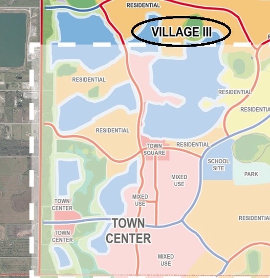
15970 Babcock Trl
422621100001
Spine Rd Bk25 Pg12 Res
Agriculturalland
21-42-26 PARCEL 1 154.71 AC. M/L AKA PARTIAL AREA 6 LESS AREA CONVEYED OR5002/1939 LESS 16.36A M/L CUT FOR BABCOCK SPINE RD BK25 PG12 RES2680/1365 3010/105 CONS/EAS4911/987 E5002/1966 CONSV/EAS4959/2019 CONSV/E5022/873 LESS 320.24AC C
AE
Charlotte
12015C0500G
Florida
2023
154.71 AC
2023
Charlotte County
010200
Southwest Florida
6,936 SF
Punta Gorda, FL
DEMOGRAPHICS near 15970 Babcock Trl
1 Mile
3 Mile
5 Mile
2024 Total Population
979
4,636
5,716
2029 Population
1,225
5,825
7,076
Pop Growth 2024-2029
+ 25.13%
+ 25.65%
+ 23.79%
Average Age
46
46
46
2024 Total Households
376
1,826
2,188
HH Growth 2024-2029
+ 26.33%
+ 26.34%
+ 24.63%
Median Household Inc
$89,655
$90,190
$90,538
Avg Household Size
2.40
2.40
2.40
2024 Avg HH Vehicles
2.00
2.00
2.00
Median Home Value
$361,650
$361,805
$368,847
Median Year Built
2010
2010
2008
Nearby Places
Map Layers
Map Styles
 Street
 Aerial
- Restaurants
- Banks
- Shops
- Fitness
- Groceries
PUBLIC TRANSPORTATION
AIRPORT
Southwest Florida International
DRIVE
WALK
Distance
Southwest Florida International
44 min
25.0 mi
Punta Gorda
DRIVE
WALK
Distance
Punta Gorda
47 min
30.4 mi
Freight Ports
Port Manatee
DRIVE
WALK
Distance
Port Manatee
127 min
102.1 mi
Nearby Properties
Address
Land Use
TOTAL SIZE
Lot Size
Zoning
Address
Land Use
TOTAL SIZE
Lot Size
Zoning
367,053 SF
17 AC
BOZD
Address
Land Use
TOTAL SIZE
Lot Size
Zoning
9,424 SF
6,734.78 AC
BOZD
Address
Land Use
TOTAL SIZE
Lot Size
Zoning
2.88 AC
AG
Address
Land Use
TOTAL SIZE
Lot Size
Zoning
83,212 SF
12.96 AC
BOZD
Address
Land Use
TOTAL SIZE
Lot Size
Zoning
74,698 SF
8.33 AC
BOZD
Address
Land Use
TOTAL SIZE
Lot Size
Zoning
40,490 SF
1.95 AC
BOZD
Address
Land Use
TOTAL SIZE
Lot Size
Zoning
10,304 SF
141.77 AC
BOZD
Address
Land Use
TOTAL SIZE
Lot Size
Zoning
16.06 AC
BOZD
Address
Land Use
TOTAL SIZE
Lot Size
Zoning
18,224 SF
3.56 AC
BOZD
Address
Land Use
TOTAL SIZE
Lot Size
Zoning
256.34 AC
BOZD
Address
Land Use
TOTAL SIZE
Lot Size
Zoning
11,223 SF
1.15 AC
BOZD
Address
Land Use
TOTAL SIZE
Lot Size
Zoning
122.38 AC
BOZD
Address
Land Use
TOTAL SIZE
Lot Size
Zoning
31,657 SF
7.91 AC
BOZD
Address
Land Use
TOTAL SIZE
Lot Size
Zoning
116,525 SF
10 AC
BOZD
Address
Land Use
TOTAL SIZE
Lot Size
Zoning
49,980 SF
159.94 AC
II
Address
Land Use
TOTAL SIZE
Lot Size
Zoning
1,600 SF
477 AC
ES
Address
Land Use
TOTAL SIZE
Lot Size
Zoning
6,030 SF
0.24 AC
BOZD
Address
Land Use
TOTAL SIZE
Lot Size
Zoning
702 SF
6.42 AC
BOZD
Address
Land Use
TOTAL SIZE
Lot Size
Zoning
5,547 SF
0.30 AC
BOZD
Address
Land Use
TOTAL SIZE
Lot Size
Zoning
12,524 SF
33.01 AC
BOZD
Address
Land Use
TOTAL SIZE
Lot Size
Zoning
61.85 AC
BOZD
Address
Land Use
TOTAL SIZE
Lot Size
Zoning
1.98 AC
BOZD
Address
Land Use
TOTAL SIZE
Lot Size
Zoning
17,581 SF
5 AC
IG
Address
Land Use
TOTAL SIZE
Lot Size
Zoning
1,260 SF
5 AC
IG
Address
Land Use
TOTAL SIZE
Lot Size
Zoning
5,054 SF
0.23 AC
BOZD
Address
Land Use
TOTAL SIZE
Lot Size
Zoning
4,212 SF
146.95 AC
BOZD
Address
Land Use
TOTAL SIZE
Lot Size
Zoning
0.33 AC
BOZD
Address
Land Use
TOTAL SIZE
Lot Size
Zoning
1,440 SF
18.76 AC
BOZD
Address
Land Use
TOTAL SIZE
Lot Size
Zoning
2,400 SF
159.11 AC
BOZD
The World's #1 Commercial Real Estate Marketplace
Connect with us
© 2026 CoStar Group
The information above has been obtained from sources believed reliable. While we do not doubt its accuracy we have not verified it and make no guarantee, warranty or representation about it. It is your responsibility to independently confirm its accuracy and completeness. Any projections, opinions, assumptions, or estimates used are for example only and do not represent the current or future performance of the property. The value of this transaction to you depends on tax and other factors which should be evaluated by your tax, financial, and legal advisors. You and your advisors should conduct a careful, independent investigation of the property to determine to your satisfaction the suitability of the property for your needs.