Property Record
16 Antrim Rd, Hillsborough, NH 03244


NEARBY LISTINGS FOR SALE OR LEASE
-
-
View all Hillsborough listings for sale on LoopNet.com
Property Detail
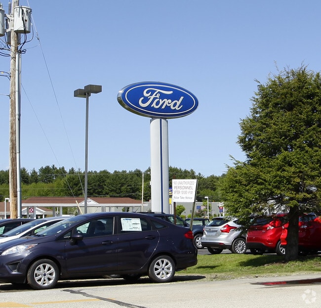
16 Antrim Rd
Commercialnec
Hillsborough
AE
New Hampshire
33011C0131D
6.60 AC
2024
Hillsborough
2024
Boston
025502
Manchester-Nashua, NH
12,149 SF
HLBO-000011K-000323
DEMOGRAPHICS near 16 Antrim Rd
1 Mile
3 Mile
5 Mile
2024 Total Population
840
5,153
8,812
2029 Population
844
5,230
9,009
Pop Growth 2024-2029
+ 0.48%
+ 1.49%
+ 2.24%
Average Age
44
43
43
2024 Total Households
356
2,110
3,569
HH Growth 2024-2029
+ 0.28%
+ 1.37%
+ 2.16%
Median Household Inc
$76,704
$82,197
$87,780
Avg Household Size
2.30
2.40
2.40
2024 Avg HH Vehicles
2.00
2.00
2.00
Median Home Value
$309,596
$275,193
$273,733
Median Year Built
1970
1974
1976
Nearby Places
Map Layers
Map Styles
 Street
 Aerial
- Restaurants
- Banks
- Shops
- Fitness
- Groceries
PUBLIC TRANSPORTATION
AIRPORT
Manchester Boston Regional
DRIVE
WALK
Distance
Manchester Boston Regional
63 min
44.2 mi
Freight Ports
Port of Boston
DRIVE
WALK
Distance
Port of Boston
129 min
92.7 mi
Nearby Properties
Address
Land Use
TOTAL SIZE
Lot Size
Zoning
Address
Land Use
TOTAL SIZE
Lot Size
Zoning
87,818 SF
19.80 AC
COMM-W
Address
Land Use
TOTAL SIZE
Lot Size
Zoning
44,806 SF
17.40 AC
COMM-W
Address
Land Use
TOTAL SIZE
Lot Size
Zoning
83,825 SF
18.90 AC
COMM-W
Address
Land Use
TOTAL SIZE
Lot Size
Zoning
63,191 SF
11.23 AC
COMM-W
Address
Land Use
TOTAL SIZE
Lot Size
Zoning
0.93 AC
COMM-W
Address
Land Use
TOTAL SIZE
Lot Size
Zoning
56.60 AC
COMM-W
Address
Land Use
TOTAL SIZE
Lot Size
Zoning
3,877 SF
7.20 AC
COMM-W
Address
Land Use
TOTAL SIZE
Lot Size
Zoning
23,006 SF
5.17 AC
COMM-W
Address
Land Use
TOTAL SIZE
Lot Size
Zoning
1,504 SF
8.40 AC
COMM-W
Address
Land Use
TOTAL SIZE
Lot Size
Zoning
11,388 SF
7.80 AC
COMM-W
Address
Land Use
TOTAL SIZE
Lot Size
Zoning
21,476 SF
5.88 AC
COMM-N
Address
Land Use
TOTAL SIZE
Lot Size
Zoning
538 SF
3 AC
COMM-W
Address
Land Use
TOTAL SIZE
Lot Size
Zoning
11,327 SF
1.50 AC
COMM-W
Address
Land Use
TOTAL SIZE
Lot Size
Zoning
1.40 AC
COMM-W
Address
Land Use
TOTAL SIZE
Lot Size
Zoning
21,846 SF
6.50 AC
COMM-W
Address
Land Use
TOTAL SIZE
Lot Size
Zoning
11,778 SF
2.20 AC
COMM-N
Address
Land Use
TOTAL SIZE
Lot Size
Zoning
26,075 SF
0.30 AC
COMM-W
Address
Land Use
TOTAL SIZE
Lot Size
Zoning
3,325 SF
1.60 AC
COMM-W
Address
Land Use
TOTAL SIZE
Lot Size
Zoning
2,475 SF
53.90 AC
COMM-W
Address
Land Use
TOTAL SIZE
Lot Size
Zoning
1,717 SF
87.60 AC
RURAL
Address
Land Use
TOTAL SIZE
Lot Size
Zoning
10 AC
COMM-W
Address
Land Use
TOTAL SIZE
Lot Size
Zoning
11,686 SF
1.20 AC
COMM-W
Address
Land Use
TOTAL SIZE
Lot Size
Zoning
3,087 SF
110 AC
RES
Address
Land Use
TOTAL SIZE
Lot Size
Zoning
18,484 SF
0.30 AC
COMM-W
Address
Land Use
TOTAL SIZE
Lot Size
Zoning
6,797 SF
1.50 AC
RES
Address
Land Use
TOTAL SIZE
Lot Size
Zoning
25,823 SF
1.90 AC
COMM-W
Address
Land Use
TOTAL SIZE
Lot Size
Zoning
3,798 SF
3 AC
COMM-W
Address
Land Use
TOTAL SIZE
Lot Size
Zoning
2,752 SF
478.40 AC
RURAL
Address
Land Use
TOTAL SIZE
Lot Size
Zoning
7,764 SF
2 AC
COMM-N
The World's #1 Commercial Real Estate Marketplace
Connect with us
© 2026 CoStar Group
The information above has been obtained from sources believed reliable. While we do not doubt its accuracy we have not verified it and make no guarantee, warranty or representation about it. It is your responsibility to independently confirm its accuracy and completeness. Any projections, opinions, assumptions, or estimates used are for example only and do not represent the current or future performance of the property. The value of this transaction to you depends on tax and other factors which should be evaluated by your tax, financial, and legal advisors. You and your advisors should conduct a careful, independent investigation of the property to determine to your satisfaction the suitability of the property for your needs.