Property Record
1600 S Taft Ave, Loveland, CO 80537
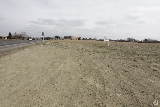

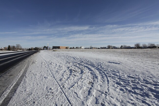
Property Detail
1600 S Taft Ave
95262-30-001
TR B, SHERRI MAR 4TH, LOV; LESS ROW 20140028706
Multifamilydwelling
LARIMER
B
Colorado
B and X Area of moderate flood hazard, usually the area between the limits of the 100-year and 500-year floods.
11.88 AC
2024
Fort Collins/Loveland
2025
Denver
002008
Fort Collins-Loveland, CO
296,360 SF
NEARBY LISTINGS FOR SALE OR LEASE
DEMOGRAPHICS near 1600 S Taft Ave
1 mile
3 mile
5 mile
2024 Total Population
7,044
41,476
87,077
2029 Population
7,164
42,387
89,289
Pop Growth 2024-2029
+ 1.70%
+ 2.20%
+ 2.54%
Average Age
41
43
43
2024 Total Households
2,825
17,600
36,018
HH Growth 2024-2029
+ 1.88%
+ 2.24%
+ 2.60%
Median Household Inc
$80,955
$78,811
$86,621
Avg Household Size
2.40
2.30
2.40
2024 Avg HH Vehicles
2.00
2.00
2.00
Median Home Value
$423,442
$476,005
$490,548
Median Year Built
1978
1980
1989
Nearby Places
Map Layers
Map Styles
 Street
 Aerial
Transit
 Traffic
 Biking
Places
Listings with unknown addresses are not visible on the map
- Restaurants
- Banks
- Shops
- Fitness
- Groceries
Nearby Properties
Address
Land Use
TOTAL SIZE
Lot Size
Zoning
Address
Land Use
TOTAL SIZE
Lot Size
Zoning
200,420 SF
41.52 AC
R1
Address
Land Use
TOTAL SIZE
Lot Size
Zoning
125,566 SF
8.27 AC
R3E
Address
Land Use
TOTAL SIZE
Lot Size
Zoning
115,599 SF
13.15 AC
P38
Address
Land Use
TOTAL SIZE
Lot Size
Zoning
147,663 SF
5.01 AC
R3E
Address
Land Use
TOTAL SIZE
Lot Size
Zoning
745,209 SF
63.03 AC
I
Address
Land Use
TOTAL SIZE
Lot Size
Zoning
96,723 SF
9.16 AC
I
Address
Land Use
TOTAL SIZE
Lot Size
Zoning
83,954 SF
5.79 AC
FA
Address
Land Use
TOTAL SIZE
Lot Size
Zoning
101,362 SF
4.80 AC
Address
Land Use
TOTAL SIZE
Lot Size
Zoning
139,289 SF
23.55 AC
I
Address
Land Use
TOTAL SIZE
Lot Size
Zoning
59.21 AC
FA
Address
Land Use
TOTAL SIZE
Lot Size
Zoning
137,432 SF
12.89 AC
B
Address
Land Use
TOTAL SIZE
Lot Size
Zoning
196,188 SF
13.26 AC
C
Address
Land Use
TOTAL SIZE
Lot Size
Zoning
165,709 SF
10.52 AC
Address
Land Use
TOTAL SIZE
Lot Size
Zoning
118,788 SF
14.01 AC
B
Address
Land Use
TOTAL SIZE
Lot Size
Zoning
137,950 SF
10.16 AC
Address
Land Use
TOTAL SIZE
Lot Size
Zoning
93,908 SF
28.86 AC
R1
Address
Land Use
TOTAL SIZE
Lot Size
Zoning
303,858 SF
30.21 AC
Address
Land Use
TOTAL SIZE
Lot Size
Zoning
269,696 SF
1.97 AC
Address
Land Use
TOTAL SIZE
Lot Size
Zoning
48,952 SF
6.38 AC
FA
Address
Land Use
TOTAL SIZE
Lot Size
Zoning
80,000 SF
3.69 AC
R3
Address
Land Use
TOTAL SIZE
Lot Size
Zoning
114,864 SF
0.71 AC
Address
Land Use
TOTAL SIZE
Lot Size
Zoning
43,646 SF
2.01 AC
Address
Land Use
TOTAL SIZE
Lot Size
Zoning
62,966 SF
0.83 AC
Address
Land Use
TOTAL SIZE
Lot Size
Zoning
34,430 SF
2.59 AC
B
Address
Land Use
TOTAL SIZE
Lot Size
Zoning
51,209 SF
4.23 AC
P7
Address
Land Use
TOTAL SIZE
Lot Size
Zoning
50,715 SF
10.23 AC
R1
Address
Land Use
TOTAL SIZE
Lot Size
Zoning
65,755 SF
2.22 AC
Address
Land Use
TOTAL SIZE
Lot Size
Zoning
65,980 SF
3.04 AC
I
Address
Land Use
TOTAL SIZE
Lot Size
Zoning
72,300 SF
7.23 AC
I1
The World's #1 Commercial Real Estate Marketplace
Connect with us
© 2026 CoStar Group
The information above has been obtained from sources believed reliable. While we do not doubt its accuracy we have not verified it and make no guarantee, warranty or representation about it. It is your responsibility to independently confirm its accuracy and completeness. Any projections, opinions, assumptions, or estimates used are for example only and do not represent the current or future performance of the property. The value of this transaction to you depends on tax and other factors which should be evaluated by your tax, financial, and legal advisors. You and your advisors should conduct a careful, independent investigation of the property to determine to your satisfaction the suitability of the property for your needs.