Property Record
1601 E 19Th St, Cheyenne, WY 82001


NEARBY LISTINGS FOR SALE OR LEASE
Property Detail
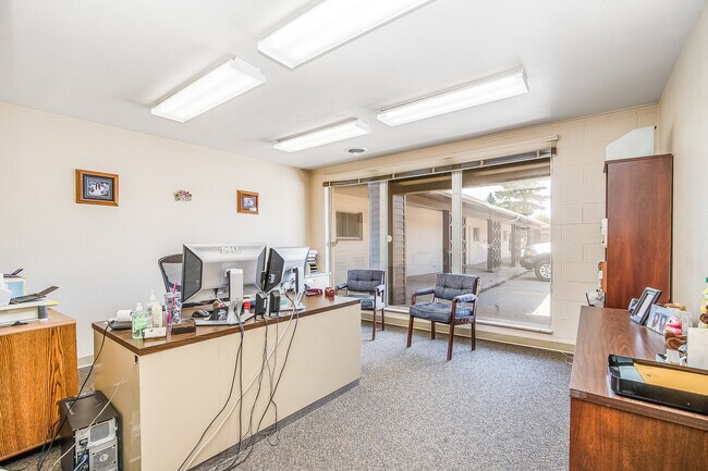
1601 E 19Th St
Cheyenne, WY
Original City
1-1001-0311-0002-0
CHEYENNE: WEST 26 LOT 2, LOTS 3 & 4, BLOCK 311, EXCEPT (225 SF, BK 322 PG 280) POR LOT 4, DESC AS: BEG AT A PNT ON THE SOUTHERLY LINE OF LOT 4, 13 WESTERLY FROM THE SOUTHEASTERLY COR OF SAID LOT 4; TH WESTERLY ALONG SAID SOUTHERLY LINE OF SAID LOT 4,
Commercialnec
Laramie
X
Wyoming
56021C1093F
2,3,4
2024
0.47 AC
2025
I-80 Corridor/Cheyenne
000701
Other Market Areas
11,662 SF
DEMOGRAPHICS near 1601 E 19Th St
1 Mile
3 Mile
5 Mile
2024 Total Population
9,755
62,614
83,967
2029 Population
9,917
63,708
85,528
Pop Growth 2024-2029
+ 1.66%
+ 1.75%
+ 1.86%
Average Age
41
40
39
2024 Total Households
4,689
27,524
35,354
HH Growth 2024-2029
+ 1.75%
+ 1.87%
+ 1.97%
Median Household Inc
$49,169
$56,396
$60,666
Avg Household Size
2.00
2.20
2.30
2024 Avg HH Vehicles
2.00
2.00
2.00
Median Home Value
$223,875
$255,237
$276,793
Median Year Built
1951
1973
1977
Nearby Places
Map Layers
Map Styles
 Street
 Aerial
- Restaurants
- Banks
- Shops
- Fitness
- Groceries
SALE & LEASE HISTORY
LISTING DATE
SALE/LEASE

Sep 25, 2016
For Lease
May 07, 2024
For Lease
Mar 13, 2020
For Lease
Mar 10, 2017
For Lease
Jul 28, 2022
For Sale
Feb 28, 2018
For Lease
Nearby Properties
Address
Land Use
TOTAL SIZE
Lot Size
Zoning
Address
Land Use
TOTAL SIZE
Lot Size
Zoning
240.51 AC
A2
Address
Land Use
TOTAL SIZE
Lot Size
Zoning
Address
Land Use
TOTAL SIZE
Lot Size
Zoning
172,393 SF
12.16 AC
Address
Land Use
TOTAL SIZE
Lot Size
Zoning
91,021 SF
7.40 AC
Address
Land Use
TOTAL SIZE
Lot Size
Zoning
189,952 SF
11.15 AC
HR2
Address
Land Use
TOTAL SIZE
Lot Size
Zoning
Address
Land Use
TOTAL SIZE
Lot Size
Zoning
148,018 SF
Address
Land Use
TOTAL SIZE
Lot Size
Zoning
210,717 SF
18.28 AC
Address
Land Use
TOTAL SIZE
Lot Size
Zoning
136,488 SF
13.38 AC
CB
Address
Land Use
TOTAL SIZE
Lot Size
Zoning
219,227 SF
21.97 AC
CB
Address
Land Use
TOTAL SIZE
Lot Size
Zoning
118,588 SF
3.20 AC
CB
Address
Land Use
TOTAL SIZE
Lot Size
Zoning
69,726 SF
0.80 AC
CBD
Address
Land Use
TOTAL SIZE
Lot Size
Zoning
323,835 SF
Address
Land Use
TOTAL SIZE
Lot Size
Zoning
135,427 SF
6.61 AC
Address
Land Use
TOTAL SIZE
Lot Size
Zoning
109,096 SF
4.03 AC
MR2
Address
Land Use
TOTAL SIZE
Lot Size
Zoning
193,881 SF
21.36 AC
CB
Address
Land Use
TOTAL SIZE
Lot Size
Zoning
109,744 SF
7.04 AC
Address
Land Use
TOTAL SIZE
Lot Size
Zoning
204,822 SF
6.88 AC
HR1
Address
Land Use
TOTAL SIZE
Lot Size
Zoning
76,524 SF
6 AC
Address
Land Use
TOTAL SIZE
Lot Size
Zoning
85,314 SF
5.50 AC
P
Address
Land Use
TOTAL SIZE
Lot Size
Zoning
81,948 SF
9.39 AC
CB
Address
Land Use
TOTAL SIZE
Lot Size
Zoning
142,588 SF
3.54 AC
PUD
Address
Land Use
TOTAL SIZE
Lot Size
Zoning
108,716 SF
12.45 AC
Address
Land Use
TOTAL SIZE
Lot Size
Zoning
69,941 SF
4.31 AC
LI
Address
Land Use
TOTAL SIZE
Lot Size
Zoning
88,107 SF
10.73 AC
Address
Land Use
TOTAL SIZE
Lot Size
Zoning
86,860 SF
1.70 AC
CB
Address
Land Use
TOTAL SIZE
Lot Size
Zoning
59,325 SF
0.85 AC
CBD
Address
Land Use
TOTAL SIZE
Lot Size
Zoning
69,103 SF
17.34 AC
Address
Land Use
TOTAL SIZE
Lot Size
Zoning
79,186 SF
3.09 AC
Address
Land Use
TOTAL SIZE
Lot Size
Zoning
108,332 SF
0.80 AC
MUB
The World's #1 Commercial Real Estate Marketplace
Connect with us
© 2025 CoStar Group
The information above has been obtained from sources believed reliable. While we do not doubt its accuracy we have not verified it and make no guarantee, warranty or representation about it. It is your responsibility to independently confirm its accuracy and completeness. Any projections, opinions, assumptions, or estimates used are for example only and do not represent the current or future performance of the property. The value of this transaction to you depends on tax and other factors which should be evaluated by your tax, financial, and legal advisors. You and your advisors should conduct a careful, independent investigation of the property to determine to your satisfaction the suitability of the property for your needs.