Property Record
1601 E Cherokee Ave, Sallisaw, OK 74955


Property Detail
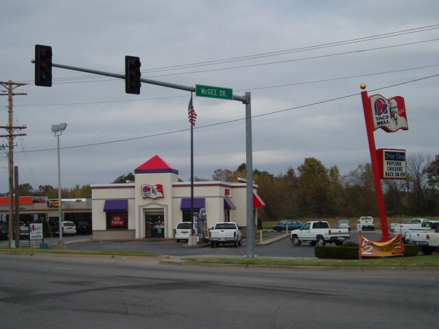
1601 E Cherokee Ave
0000-04-011-024-0-031-00
TRACT OF LAND LOCATED IN THE NW SW NE DES AS:BEG ON WEST SIDE OF ALSO DESCRIBED AS: BEG AT A PT. 178' N OF INTER. OF THE W LI
Warehouse
Sequoyah
AE The base floodplain where base flood elevations are provided. AE Zones are now used on new format FIRMs instead of A1-A30 Zones.
Oklahoma
2025
0.56 AC
2025
Sequoyah County
030304
Fort Smith
320 SF
Fort Smith, AR-OK
NEARBY LISTINGS FOR SALE OR LEASE
-
-
View all Sallisaw listings for sale on LoopNet.com
DEMOGRAPHICS near 1601 E Cherokee Ave
1 mile
3 mile
5 mile
2025 Total Population
4,267
9,922
12,430
2030 Population
4,418
10,324
12,945
Pop Growth 2025-2030
+ 3.54%
+ 4.05%
+ 4.14%
Average Age
41
40
40
2025 Total Households
1,694
3,897
4,868
HH Growth 2025-2030
+ 3.48%
+ 4.00%
+ 4.07%
Median Household Inc
$40,783
$41,426
$44,381
Avg Household Size
2.40
2.50
2.50
2025 Avg HH Vehicles
2.00
2.00
2.00
Median Home Value
$133,534
$134,331
$141,874
Median Year Built
1973
1977
1978
Nearby Places
Map Layers
Map Styles
 Street
 Aerial
Layers
 Traffic
 Biking
Places
Listings with unknown addresses are not visible on the map
- Restaurants
- Banks
- Shops
- Fitness
- Groceries
PUBLIC TRANSPORTATION
AIRPORT
Fort Smith Regional
Drive
Walk
Distance
Fort Smith Regional
43 min
27.6 mi
Freight Ports
Tulsa Port of Inola
Drive
Walk
Distance
Tulsa Port of Inola
104 min
84.4 mi
Nearby Properties
Address
Land Use
TOTAL SIZE
Lot Size
Zoning
Address
Land Use
TOTAL SIZE
Lot Size
Zoning
20,537 SF
2.62 AC
Address
Land Use
TOTAL SIZE
Lot Size
Zoning
23,296 SF
0.54 AC
Address
Land Use
TOTAL SIZE
Lot Size
Zoning
9,250 SF
4.38 AC
Address
Land Use
TOTAL SIZE
Lot Size
Zoning
4,000 SF
52.94 AC
Address
Land Use
TOTAL SIZE
Lot Size
Zoning
7,296 SF
0.43 AC
Address
Land Use
TOTAL SIZE
Lot Size
Zoning
21,648 SF
2.70 AC
Address
Land Use
TOTAL SIZE
Lot Size
Zoning
42,158 SF
5.65 AC
Address
Land Use
TOTAL SIZE
Lot Size
Zoning
11,423 SF
0.23 AC
Address
Land Use
TOTAL SIZE
Lot Size
Zoning
34,495 SF
9.17 AC
Address
Land Use
TOTAL SIZE
Lot Size
Zoning
6,648 SF
1.10 AC
Address
Land Use
TOTAL SIZE
Lot Size
Zoning
25,743 SF
1.05 AC
Address
Land Use
TOTAL SIZE
Lot Size
Zoning
900 SF
2.43 AC
Address
Land Use
TOTAL SIZE
Lot Size
Zoning
35,632 SF
8.90 AC
Address
Land Use
TOTAL SIZE
Lot Size
Zoning
5,600 SF
0.97 AC
Address
Land Use
TOTAL SIZE
Lot Size
Zoning
4,800 SF
1.06 AC
Address
Land Use
TOTAL SIZE
Lot Size
Zoning
3,584 SF
2.40 AC
Address
Land Use
TOTAL SIZE
Lot Size
Zoning
7,366 SF
3.39 AC
The World's #1 Commercial Real Estate Marketplace
Connect with us
© 2026 CoStar Group
The information above has been obtained from sources believed reliable. While we do not doubt its accuracy we have not verified it and make no guarantee, warranty or representation about it. It is your responsibility to independently confirm its accuracy and completeness. Any projections, opinions, assumptions, or estimates used are for example only and do not represent the current or future performance of the property. The value of this transaction to you depends on tax and other factors which should be evaluated by your tax, financial, and legal advisors. You and your advisors should conduct a careful, independent investigation of the property to determine to your satisfaction the suitability of the property for your needs.