Property Record
1601 S Cleveland Ave, Sioux Falls, SD 57103
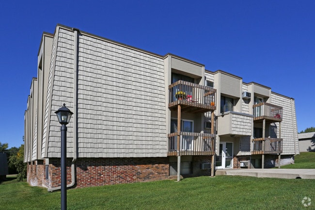
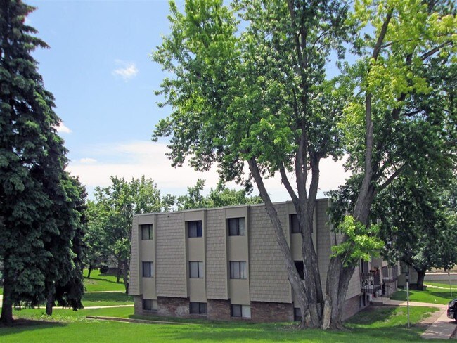
Property Detail
1601 S Cleveland Ave
66760
TRACT 5 CHERRY CREEK ADDN TO CITY OF SIOUX FALLS
Apartment
MINNEHAHA
B and X Area of moderate flood hazard, usually the area between the limits of the 100-year and 500-year floods.
South Dakota
2025
1.14 AC
2025
Sioux Falls
001801
Other Market Areas
17,988 SF
Sioux Falls, SD-MN
NEARBY LISTINGS FOR SALE OR LEASE
DEMOGRAPHICS near 1601 S Cleveland Ave
1 mile
3 mile
5 mile
2025 Total Population
13,465
100,936
149,000
2030 Population
13,996
106,831
158,745
Pop Growth 2025-2030
+ 3.94%
+ 5.84%
+ 6.54%
Average Age
38
38
39
2025 Total Households
5,517
40,840
62,193
HH Growth 2025-2030
+ 4.37%
+ 6.35%
+ 6.96%
Median Household Inc
$62,223
$70,100
$68,942
Avg Household Size
2.40
2.30
2.30
2025 Avg HH Vehicles
2.00
2.00
2.00
Median Home Value
$249,321
$302,552
$311,210
Median Year Built
1974
1988
1991
Nearby Places
Map Layers
Map Styles
 Street
 Aerial
Layers
 Traffic
 Biking
Places
Listings with unknown addresses are not visible on the map
- Restaurants
- Banks
- Shops
- Fitness
- Groceries
PUBLIC TRANSPORTATION
AIRPORT
Joe Foss Field
Drive
Walk
Distance
Joe Foss Field
25 min
7.2 mi
Freight Ports
Port Milwaukee
Drive
Walk
Distance
Port Milwaukee
547 min
503.6 mi
Nearby Properties
Address
Land Use
TOTAL SIZE
Lot Size
Zoning
Address
Land Use
TOTAL SIZE
Lot Size
Zoning
3,217 SF
10.40 AC
NO;SPECIAL
Address
Land Use
TOTAL SIZE
Lot Size
Zoning
80,415 SF
13.13 AC
Address
Land Use
TOTAL SIZE
Lot Size
Zoning
Address
Land Use
TOTAL SIZE
Lot Size
Zoning
8.90 AC
C1;NEIGHBO
Address
Land Use
TOTAL SIZE
Lot Size
Zoning
179,266 SF
1.32 AC
FP;FP
Address
Land Use
TOTAL SIZE
Lot Size
Zoning
11.33 AC
MUNICIPALI
Address
Land Use
TOTAL SIZE
Lot Size
Zoning
Address
Land Use
TOTAL SIZE
Lot Size
Zoning
94,624 SF
12.31 AC
Address
Land Use
TOTAL SIZE
Lot Size
Zoning
184,821 SF
1.83 AC
NO;SPECIAL
Address
Land Use
TOTAL SIZE
Lot Size
Zoning
153,249 SF
15.39 AC
Address
Land Use
TOTAL SIZE
Lot Size
Zoning
201,639 SF
2.30 AC
FP;FP
Address
Land Use
TOTAL SIZE
Lot Size
Zoning
4,136 SF
18.95 AC
Address
Land Use
TOTAL SIZE
Lot Size
Zoning
4,358 SF
14.79 AC
Address
Land Use
TOTAL SIZE
Lot Size
Zoning
7,252 SF
12.07 AC
Address
Land Use
TOTAL SIZE
Lot Size
Zoning
9.41 AC
Address
Land Use
TOTAL SIZE
Lot Size
Zoning
3,306 SF
17.41 AC
Address
Land Use
TOTAL SIZE
Lot Size
Zoning
14,820 SF
80.57 AC
FP;FP
Address
Land Use
TOTAL SIZE
Lot Size
Zoning
284,136 SF
15.02 AC
Address
Land Use
TOTAL SIZE
Lot Size
Zoning
15,704 SF
5.13 AC
Address
Land Use
TOTAL SIZE
Lot Size
Zoning
9.15 AC
MUNICIPALI
Address
Land Use
TOTAL SIZE
Lot Size
Zoning
3.07 AC
FP;FP
Address
Land Use
TOTAL SIZE
Lot Size
Zoning
1.20 AC
FP;FP
Address
Land Use
TOTAL SIZE
Lot Size
Zoning
51,004 SF
3.99 AC
Address
Land Use
TOTAL SIZE
Lot Size
Zoning
11,800 SF
11.78 AC
Address
Land Use
TOTAL SIZE
Lot Size
Zoning
2,406 SF
13.76 AC
Address
Land Use
TOTAL SIZE
Lot Size
Zoning
1.57 AC
C2;GENERAL
Address
Land Use
TOTAL SIZE
Lot Size
Zoning
149,610 SF
0.97 AC
Address
Land Use
TOTAL SIZE
Lot Size
Zoning
92,195 SF
8 AC
Address
Land Use
TOTAL SIZE
Lot Size
Zoning
87,328 SF
6.92 AC
Address
Land Use
TOTAL SIZE
Lot Size
Zoning
5.85 AC
The World's #1 Commercial Real Estate Marketplace
Connect with us
© 2026 CoStar Group
The information above has been obtained from sources believed reliable. While we do not doubt its accuracy we have not verified it and make no guarantee, warranty or representation about it. It is your responsibility to independently confirm its accuracy and completeness. Any projections, opinions, assumptions, or estimates used are for example only and do not represent the current or future performance of the property. The value of this transaction to you depends on tax and other factors which should be evaluated by your tax, financial, and legal advisors. You and your advisors should conduct a careful, independent investigation of the property to determine to your satisfaction the suitability of the property for your needs.