Property Record
1605 Race Track Rd, Saint Johns, FL 32259


Property Detail
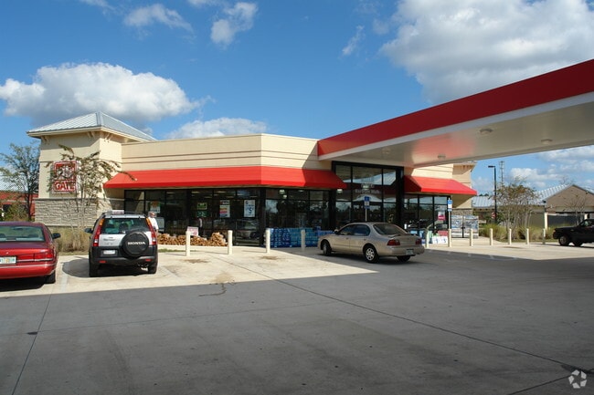
1605 Race Track Rd
004000-0000
7 PT OF LOT 2 SEC 30 LYING E OF SR13 & N OF RACE TRACK RD - (EX DOT RW IN OR966/1345 ORDER OF TAKING)(EX PTS IN OR2325/ 1518 & 2331/1049 & 2527/215 & 2527/218) (EX LIFT STATION TO BARTRAM WALK OWNERS ASSOC IN OR3065/323) OR1571/1629
Storemultistory
ST. JOHNS
PUD
Florida
B and X Area of moderate flood hazard, usually the area between the limits of the 100-year and 500-year floods.
2
2025
1.62 AC
2026
St Johns County
020801
Jacksonville (Florida)
5,065 SF
Jacksonville, FL
NEARBY LISTINGS FOR SALE OR LEASE
-
-
View all Saint Johns listings for sale on LoopNet.com
DEMOGRAPHICS near 1605 Race Track Rd
1 mile
3 mile
5 mile
2025 Total Population
4,610
45,517
116,816
2030 Population
5,174
49,986
127,561
Pop Growth 2025-2030
+ 12.23%
+ 9.82%
+ 9.20%
Average Age
46
43
41
2025 Total Households
1,538
16,311
42,746
HH Growth 2025-2030
+ 12.22%
+ 9.74%
+ 8.94%
Median Household Inc
$130,733
$120,462
$111,608
Avg Household Size
2.60
2.70
2.70
2025 Avg HH Vehicles
2.00
2.00
2.00
Median Home Value
$465,340
$460,639
$437,108
Median Year Built
1993
1995
1995
Nearby Places
Map Layers
Map Styles
 Street
 Aerial
Layers
 Traffic
 Biking
Places
Listings with unknown addresses are not visible on the map
- Restaurants
- Banks
- Shops
- Fitness
- Groceries
PUBLIC TRANSPORTATION
AIRPORT
Jacksonville International
Drive
Walk
Distance
Jacksonville International
51 min
37.1 mi
Freight Ports
Jacksonville Port
Drive
Walk
Distance
Jacksonville Port
37 min
20.1 mi
Nearby Properties
Address
Land Use
TOTAL SIZE
Lot Size
Zoning
Address
Land Use
TOTAL SIZE
Lot Size
Zoning
193,858 SF
8.67 AC
PUD
Address
Land Use
TOTAL SIZE
Lot Size
Zoning
96,065 SF
4.11 AC
PUD
Address
Land Use
TOTAL SIZE
Lot Size
Zoning
321,392 SF
42.84 AC
PUD
Address
Land Use
TOTAL SIZE
Lot Size
Zoning
80,974 SF
4.94 AC
CCG-1
Address
Land Use
TOTAL SIZE
Lot Size
Zoning
66,280 SF
9.45 AC
PUD
Address
Land Use
TOTAL SIZE
Lot Size
Zoning
65,155 SF
58.66 AC
OR
Address
Land Use
TOTAL SIZE
Lot Size
Zoning
94,789 SF
30 AC
OR
Address
Land Use
TOTAL SIZE
Lot Size
Zoning
50,800 SF
2.39 AC
PUD
Address
Land Use
TOTAL SIZE
Lot Size
Zoning
123,398 SF
25.30 AC
PUD
Address
Land Use
TOTAL SIZE
Lot Size
Zoning
82,518 SF
10.27 AC
PSD
Address
Land Use
TOTAL SIZE
Lot Size
Zoning
48,821 SF
6.05 AC
OR
Address
Land Use
TOTAL SIZE
Lot Size
Zoning
97,776 SF
12.34 AC
PUD
Address
Land Use
TOTAL SIZE
Lot Size
Zoning
95,870 SF
9.71 AC
OR
Address
Land Use
TOTAL SIZE
Lot Size
Zoning
45,676 SF
5.86 AC
PUD
Address
Land Use
TOTAL SIZE
Lot Size
Zoning
78,656 SF
2.73 AC
CCG-1
Address
Land Use
TOTAL SIZE
Lot Size
Zoning
84,122 SF
4.97 AC
PUD
Address
Land Use
TOTAL SIZE
Lot Size
Zoning
91,522 SF
9.84 AC
PUD
Address
Land Use
TOTAL SIZE
Lot Size
Zoning
81,119 SF
9.10 AC
PUD
Address
Land Use
TOTAL SIZE
Lot Size
Zoning
93,536 SF
3.85 AC
CCG-1
Address
Land Use
TOTAL SIZE
Lot Size
Zoning
156.70 AC
Address
Land Use
TOTAL SIZE
Lot Size
Zoning
109,558 SF
28.25 AC
PBF-1
Address
Land Use
TOTAL SIZE
Lot Size
Zoning
32,417 SF
3.48 AC
PUD
Address
Land Use
TOTAL SIZE
Lot Size
Zoning
101,150 SF
11.51 AC
PUD
Address
Land Use
TOTAL SIZE
Lot Size
Zoning
18,774 SF
4.25 AC
PUD
Address
Land Use
TOTAL SIZE
Lot Size
Zoning
40,746 SF
2.68 AC
PUD
Address
Land Use
TOTAL SIZE
Lot Size
Zoning
66,784 SF
3.40 AC
CCG-1
Address
Land Use
TOTAL SIZE
Lot Size
Zoning
30,328 SF
2.97 AC
CG
Address
Land Use
TOTAL SIZE
Lot Size
Zoning
79,127 SF
12.34 AC
PUD
Address
Land Use
TOTAL SIZE
Lot Size
Zoning
41,885 SF
2.38 AC
PUD
Address
Land Use
TOTAL SIZE
Lot Size
Zoning
19,664 SF
0.40 AC
CCG-1
The World's #1 Commercial Real Estate Marketplace
Connect with us
© 2026 CoStar Group
The information above has been obtained from sources believed reliable. While we do not doubt its accuracy we have not verified it and make no guarantee, warranty or representation about it. It is your responsibility to independently confirm its accuracy and completeness. Any projections, opinions, assumptions, or estimates used are for example only and do not represent the current or future performance of the property. The value of this transaction to you depends on tax and other factors which should be evaluated by your tax, financial, and legal advisors. You and your advisors should conduct a careful, independent investigation of the property to determine to your satisfaction the suitability of the property for your needs.