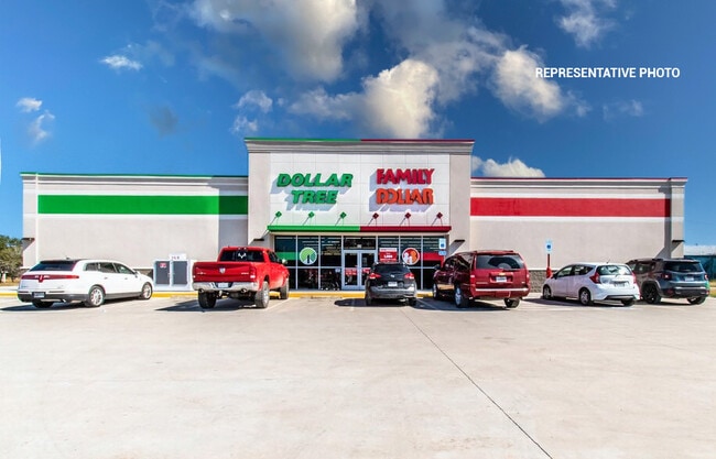
Property Record
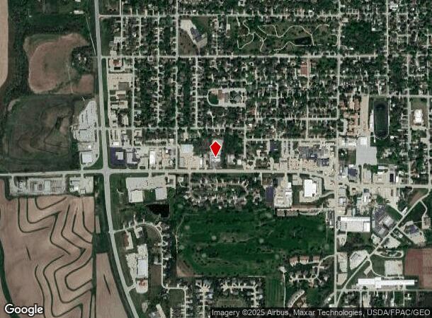
1610 Chatburn Ave, Harlan, IA 51537
NEARBY LISTINGS FOR SALE OR LEASE
-
-
View all Harlan listings for sale on LoopNet.com
Property Detail
1610 Chatburn Ave
Other Market Areas
Westridge Acres Addition
833250010092
WESTRIDGE ACRES LT 9 & LT 10 EX W 69' & PARCEL A OF LT 13 BLK 10
Storebuilding
Shelby
2025
Iowa
2025
9-10,13
960300
3.02 AC
12,600 SF
Iowa West Area
DEMOGRAPHICS near 1610 Chatburn Ave
1 Mile
3 Mile
5 Mile
2024 Total Population
4,153
5,764
6,114
2029 Population
4,131
5,750
6,097
Pop Growth 2024-2029
(0.53%)
(0.24%)
(0.28%)
Average Age
44
44
44
2024 Total Households
1,768
2,461
2,606
HH Growth 2024-2029
(0.51%)
(0.20%)
(0.27%)
Median Household Inc
$72,118
$62,791
$62,780
Avg Household Size
2.20
2.20
2.20
2024 Avg HH Vehicles
2.00
2.00
2.00
Median Home Value
$162,556
$156,594
$156,796
Median Year Built
1964
1962
1962
Nearby Places
Map Layers
Map Styles
 Street
 Aerial
- Restaurants
- Banks
- Shops
- Fitness
- Groceries
SALE & LEASE HISTORY
LISTING DATE
SALE/LEASE

Nov 22, 2022
For Sale
Jan 08, 2025
For Sale
Nearby Properties
Address
Land Use
TOTAL SIZE
Lot Size
Zoning
Address
Land Use
TOTAL SIZE
Lot Size
Zoning
2,945 SF
7.73 AC
Address
Land Use
TOTAL SIZE
Lot Size
Zoning
137,418 SF
35 AC
Address
Land Use
TOTAL SIZE
Lot Size
Zoning
2,760 SF
5.78 AC
Address
Land Use
TOTAL SIZE
Lot Size
Zoning
79,608 SF
6.40 AC
Address
Land Use
TOTAL SIZE
Lot Size
Zoning
55,928 SF
10.51 AC
Address
Land Use
TOTAL SIZE
Lot Size
Zoning
54,327 SF
8.36 AC
Address
Land Use
TOTAL SIZE
Lot Size
Zoning
21,325 SF
5 AC
Address
Land Use
TOTAL SIZE
Lot Size
Zoning
47,740 SF
10.03 AC
Address
Land Use
TOTAL SIZE
Lot Size
Zoning
48,470 SF
2.35 AC
Address
Land Use
TOTAL SIZE
Lot Size
Zoning
61,161 SF
29.87 AC
Address
Land Use
TOTAL SIZE
Lot Size
Zoning
18,702 SF
13.60 AC
Address
Land Use
TOTAL SIZE
Lot Size
Zoning
36,425 SF
6.76 AC
Address
Land Use
TOTAL SIZE
Lot Size
Zoning
91,470 SF
1.55 AC
Address
Land Use
TOTAL SIZE
Lot Size
Zoning
23,085 SF
1.28 AC
Address
Land Use
TOTAL SIZE
Lot Size
Zoning
16,275 SF
37.75 AC
Address
Land Use
TOTAL SIZE
Lot Size
Zoning
7,373 SF
4.04 AC
Address
Land Use
TOTAL SIZE
Lot Size
Zoning
97,306 SF
9.68 AC
Address
Land Use
TOTAL SIZE
Lot Size
Zoning
14,415 SF
5.20 AC
Address
Land Use
TOTAL SIZE
Lot Size
Zoning
23,674 SF
2 AC
Address
Land Use
TOTAL SIZE
Lot Size
Zoning
10,742 SF
6.77 AC
Address
Land Use
TOTAL SIZE
Lot Size
Zoning
10,888 SF
2.35 AC
Address
Land Use
TOTAL SIZE
Lot Size
Zoning
4,780 SF
6.38 AC
Address
Land Use
TOTAL SIZE
Lot Size
Zoning
5,112 SF
6.88 AC
Address
Land Use
TOTAL SIZE
Lot Size
Zoning
24,216 SF
1.55 AC
Address
Land Use
TOTAL SIZE
Lot Size
Zoning
3,372 SF
1.85 AC
Address
Land Use
TOTAL SIZE
Lot Size
Zoning
1,672 SF
3.56 AC
Address
Land Use
TOTAL SIZE
Lot Size
Zoning
7,844 SF
1.50 AC
Address
Land Use
TOTAL SIZE
Lot Size
Zoning
16,000 SF
3.64 AC
Address
Land Use
TOTAL SIZE
Lot Size
Zoning
138,970 SF
3.10 AC
The World's #1 Commercial Real Estate Marketplace
Connect with us
© 2026 CoStar Group
The information above has been obtained from sources believed reliable. While we do not doubt its accuracy we have not verified it and make no guarantee, warranty or representation about it. It is your responsibility to independently confirm its accuracy and completeness. Any projections, opinions, assumptions, or estimates used are for example only and do not represent the current or future performance of the property. The value of this transaction to you depends on tax and other factors which should be evaluated by your tax, financial, and legal advisors. You and your advisors should conduct a careful, independent investigation of the property to determine to your satisfaction the suitability of the property for your needs.