Property Record
16141 Fishhawk Blvd, Lithia, FL 33547

NEARBY LISTINGS FOR SALE OR LEASE
Property Detail
16141 Fishhawk Blvd
Tampa-St. Petersburg-Clearwater, FL
Unplatted
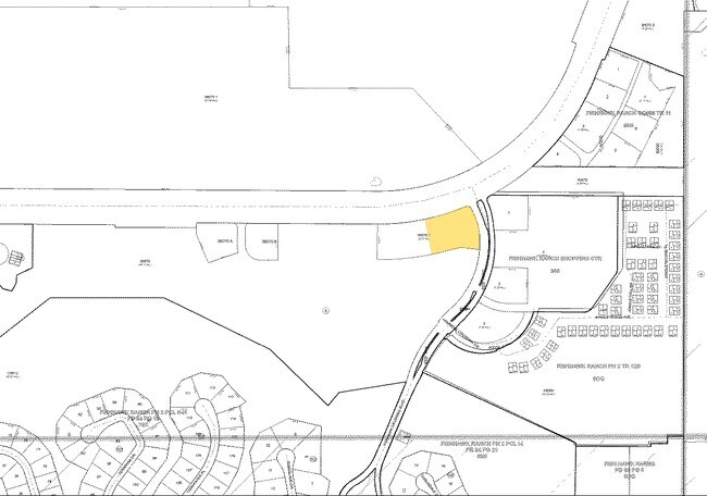
U-21-30-21-ZZZ-000004-38070.0
BEG AT NE COR OF FISHHAWK RANCH TOWNHOMES PHASE 2-PARTIAL REPLAT PLATT BK 118 PG 37 S 00 DEG 24 MIN 52 SEC W 266.05 FT N 68 DEG 22 MIN 13 SEC E 44.85 FT N 75 DEG 16 MIN 29 SEC E 49.36 FT S 42 DEG 04 MIN 56 SEC E 31.71 FT S 88 DEG 55 MIN 17 SEC E 46.2
Medicalbuilding
Hillsborough
A
Florida
12057C0530H
38070
2024
1.50 AC
2025
Eastern Outlying
013922
Tampa/St Petersburg
6,904 SF
DEMOGRAPHICS near 16141 Fishhawk Blvd
1 Mile
3 Mile
5 Mile
2024 Total Population
7,070
34,238
81,698
2029 Population
7,653
37,177
89,146
Pop Growth 2024-2029
+ 8.25%
+ 8.58%
+ 9.12%
Average Age
35
37
39
2024 Total Households
2,165
10,703
26,638
HH Growth 2024-2029
+ 8.55%
+ 8.85%
+ 9.35%
Median Household Inc
$136,371
$118,460
$109,137
Avg Household Size
3.20
3.10
3.00
2024 Avg HH Vehicles
2.00
2.00
2.00
Median Home Value
$502,980
$420,078
$366,695
Median Year Built
2008
2004
1999
Nearby Places
Map Layers
Map Styles
 Street
 Aerial
- Restaurants
- Banks
- Shops
- Fitness
- Groceries
PUBLIC TRANSPORTATION
AIRPORT
Tampa International
DRIVE
WALK
Distance
Tampa International
46 min
29.0 mi
St Pete-Clearwater International
DRIVE
WALK
Distance
St Pete-Clearwater International
57 min
37.5 mi
Sarasota/Bradenton International
DRIVE
WALK
Distance
Sarasota/Bradenton International
70 min
47.6 mi
Freight Ports
Port of Tampa Bay
DRIVE
WALK
Distance
Port of Tampa Bay
34 min
19.0 mi
Nearby Properties
Address
Land Use
TOTAL SIZE
Lot Size
Zoning
Address
Land Use
TOTAL SIZE
Lot Size
Zoning
421,873 SF
93.26 AC
PD
Address
Land Use
TOTAL SIZE
Lot Size
Zoning
361,294 SF
10.35 AC
PD
Address
Land Use
TOTAL SIZE
Lot Size
Zoning
231,811 SF
26.54 AC
PD
Address
Land Use
TOTAL SIZE
Lot Size
Zoning
113,134 SF
7.96 AC
PD
Address
Land Use
TOTAL SIZE
Lot Size
Zoning
870.14 AC
AR
Address
Land Use
TOTAL SIZE
Lot Size
Zoning
25,210 SF
66.38 AC
AR
Address
Land Use
TOTAL SIZE
Lot Size
Zoning
233.81 AC
AR
Address
Land Use
TOTAL SIZE
Lot Size
Zoning
96,158 SF
11.98 AC
PD
Address
Land Use
TOTAL SIZE
Lot Size
Zoning
99,450 SF
13.65 AC
PD
Address
Land Use
TOTAL SIZE
Lot Size
Zoning
110,461 SF
5.72 AC
PD
Address
Land Use
TOTAL SIZE
Lot Size
Zoning
97,587 SF
24.06 AC
PD
Address
Land Use
TOTAL SIZE
Lot Size
Zoning
99,384 SF
14.72 AC
PD
Address
Land Use
TOTAL SIZE
Lot Size
Zoning
67,300 SF
10.03 AC
PD
Address
Land Use
TOTAL SIZE
Lot Size
Zoning
69,591 SF
38.33 AC
PD
Address
Land Use
TOTAL SIZE
Lot Size
Zoning
36,254 SF
3.48 AC
PD
Address
Land Use
TOTAL SIZE
Lot Size
Zoning
54,698 SF
7.30 AC
PD
Address
Land Use
TOTAL SIZE
Lot Size
Zoning
93,917 SF
31.45 AC
PD
Address
Land Use
TOTAL SIZE
Lot Size
Zoning
48,842 SF
6.18 AC
AS-1
Address
Land Use
TOTAL SIZE
Lot Size
Zoning
60,362 SF
6.47 AC
PD
Address
Land Use
TOTAL SIZE
Lot Size
Zoning
297.24 AC
PD
Address
Land Use
TOTAL SIZE
Lot Size
Zoning
48,315 SF
3.11 AC
PD
Address
Land Use
TOTAL SIZE
Lot Size
Zoning
17,220 SF
3.16 AC
PD
Address
Land Use
TOTAL SIZE
Lot Size
Zoning
34,982 SF
4.11 AC
PD
Address
Land Use
TOTAL SIZE
Lot Size
Zoning
25,854 SF
170.94 AC
PD
Address
Land Use
TOTAL SIZE
Lot Size
Zoning
21,271 SF
1.93 AC
PD
Address
Land Use
TOTAL SIZE
Lot Size
Zoning
23,527 SF
16.67 AC
AS-1
Address
Land Use
TOTAL SIZE
Lot Size
Zoning
30,135 SF
154.29 AC
AR
Address
Land Use
TOTAL SIZE
Lot Size
Zoning
408.10 AC
AR
Address
Land Use
TOTAL SIZE
Lot Size
Zoning
288.37 AC
PD
Address
Land Use
TOTAL SIZE
Lot Size
Zoning
17,301 SF
3.72 AC
PD
The World's #1 Commercial Real Estate Marketplace
Connect with us
© 2026 CoStar Group
The information above has been obtained from sources believed reliable. While we do not doubt its accuracy we have not verified it and make no guarantee, warranty or representation about it. It is your responsibility to independently confirm its accuracy and completeness. Any projections, opinions, assumptions, or estimates used are for example only and do not represent the current or future performance of the property. The value of this transaction to you depends on tax and other factors which should be evaluated by your tax, financial, and legal advisors. You and your advisors should conduct a careful, independent investigation of the property to determine to your satisfaction the suitability of the property for your needs.