Property Record
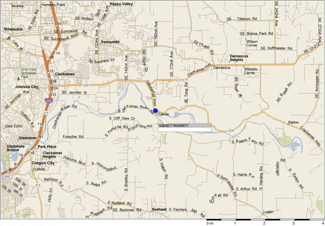
16150 Se Highway 224, Damascus, OR 97089


Property Detail
16150 Se Highway 224
00483088
SECTION 13 TOWNSHIP 2S RANGE 2E QUARTER A TAX LOT 01100
Commercialbuilding
CLACKAMAS
RRFF5
Oregon
AE The base floodplain where base flood elevations are provided. AE Zones are now used on new format FIRMs instead of A1-A30 Zones.
1100
2025
0.18 AC
2025
Clackamas/Milwaukie
023201
Portland
1,137 SF
Portland-Vancouver-Hillsboro, OR-WA
NEARBY LISTINGS FOR SALE OR LEASE
-
-
-
-
15861-15963 SE Happy Valley Town Center Dr
Happy Valley, OR 97086
Negotiable
1,346 - 3,364 SF
Retail
-
-
-
View all Damascus listings for sale on LoopNet.com
DEMOGRAPHICS near 16150 Se Highway 224
1 mile
3 mile
5 mile
2025 Total Population
4,077
35,668
98,237
2030 Population
4,061
36,015
98,980
Pop Growth 2025-2030
(0.39%)
+ 0.97%
+ 0.76%
Average Age
38
40
42
2025 Total Households
1,369
12,045
35,134
HH Growth 2025-2030
(0.51%)
+ 0.90%
+ 0.67%
Median Household Inc
$115,013
$106,649
$100,456
Avg Household Size
2.90
2.90
2.70
2025 Avg HH Vehicles
2.00
2.00
2.00
Median Home Value
$655,499
$660,283
$663,502
Median Year Built
2002
1997
1991
Nearby Places
Map Layers
Map Styles
 Street
 Aerial
Layers
 Traffic
 Biking
Places
Listings with unknown addresses are not visible on the map
- Restaurants
- Banks
- Shops
- Fitness
- Groceries
PUBLIC TRANSPORTATION
COMMUTER RAIL
Drive
Walk
Distance
13 min
6.6 mi
AIRPORT
Portland International
Drive
Walk
Distance
Portland International
29 min
18.5 mi
Freight Ports
Port of Portland
Drive
Walk
Distance
Port of Portland
32 min
18.0 mi
SALE & LEASE HISTORY
LISTING DATE
SALE/LEASE

Jun 20, 2019
For Sale
Nearby Properties
Address
Land Use
TOTAL SIZE
Lot Size
Zoning
Address
Land Use
TOTAL SIZE
Lot Size
Zoning
4,654 SF
73.99 AC
LI
Address
Land Use
TOTAL SIZE
Lot Size
Zoning
6.92 AC
MCC
Address
Land Use
TOTAL SIZE
Lot Size
Zoning
2,232 SF
15.74 AC
MUC
Address
Land Use
TOTAL SIZE
Lot Size
Zoning
12.06 AC
MCC
Address
Land Use
TOTAL SIZE
Lot Size
Zoning
9 AC
MUE
Address
Land Use
TOTAL SIZE
Lot Size
Zoning
22.99 AC
LI
Address
Land Use
TOTAL SIZE
Lot Size
Zoning
8 AC
MURM1
Address
Land Use
TOTAL SIZE
Lot Size
Zoning
2,089 SF
4.30 AC
MURM2
Address
Land Use
TOTAL SIZE
Lot Size
Zoning
6 AC
GI
Address
Land Use
TOTAL SIZE
Lot Size
Zoning
12 AC
LI
Address
Land Use
TOTAL SIZE
Lot Size
Zoning
7.25 AC
LI
Address
Land Use
TOTAL SIZE
Lot Size
Zoning
3,342 SF
9.34 AC
MUE
Address
Land Use
TOTAL SIZE
Lot Size
Zoning
17.04 AC
GI
Address
Land Use
TOTAL SIZE
Lot Size
Zoning
2,510 SF
16.02 AC
GI
Address
Land Use
TOTAL SIZE
Lot Size
Zoning
4.83 AC
MCC
Address
Land Use
TOTAL SIZE
Lot Size
Zoning
5.66 AC
MCC
Address
Land Use
TOTAL SIZE
Lot Size
Zoning
1 AC
MURX
Address
Land Use
TOTAL SIZE
Lot Size
Zoning
5.52 AC
MURM1
Address
Land Use
TOTAL SIZE
Lot Size
Zoning
Address
Land Use
TOTAL SIZE
Lot Size
Zoning
Address
Land Use
TOTAL SIZE
Lot Size
Zoning
14.44 AC
MR2
Address
Land Use
TOTAL SIZE
Lot Size
Zoning
1,386 SF
12.64 AC
GI
Address
Land Use
TOTAL SIZE
Lot Size
Zoning
3.15 AC
MURM2
Address
Land Use
TOTAL SIZE
Lot Size
Zoning
1,896 SF
1.96 AC
VO
Address
Land Use
TOTAL SIZE
Lot Size
Zoning
9.90 AC
LI
Address
Land Use
TOTAL SIZE
Lot Size
Zoning
Address
Land Use
TOTAL SIZE
Lot Size
Zoning
Address
Land Use
TOTAL SIZE
Lot Size
Zoning
9 AC
LI
Address
Land Use
TOTAL SIZE
Lot Size
Zoning
6.60 AC
LI
The World's #1 Commercial Real Estate Marketplace
Connect with us
© 2026 CoStar Group
The information above has been obtained from sources believed reliable. While we do not doubt its accuracy we have not verified it and make no guarantee, warranty or representation about it. It is your responsibility to independently confirm its accuracy and completeness. Any projections, opinions, assumptions, or estimates used are for example only and do not represent the current or future performance of the property. The value of this transaction to you depends on tax and other factors which should be evaluated by your tax, financial, and legal advisors. You and your advisors should conduct a careful, independent investigation of the property to determine to your satisfaction the suitability of the property for your needs.