Property Record
16171 Watkins Rd, Hudson, CO 80642

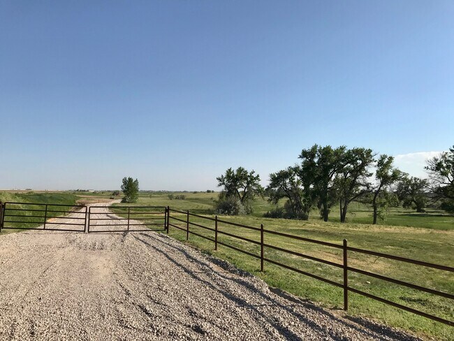
Property Detail
16171 Watkins Rd
Denver
ADAMS
Denver-Aurora-Centennial, CO
Colorado
1567-01-4-00-014
53.72 AC
Pasture
Northeast Denver
13,335 SF
NEARBY LISTINGS FOR SALE OR LEASE
-
-
View all Hudson listings for sale on LoopNet.com
DEMOGRAPHICS near 16171 Watkins Rd
1 mile
3 mile
5 mile
2025 Total Population
453
3,291
4,481
2030 Population
472
3,453
4,709
Pop Growth 2025-2030
+ 4.19%
+ 4.92%
+ 5.09%
Average Age
44
42
42
2025 Total Households
155
1,112
1,511
HH Growth 2025-2030
+ 4.52%
+ 5.13%
+ 5.36%
Median Household Inc
$161,250
$148,827
$144,091
Avg Household Size
2.90
2.90
3.00
2025 Avg HH Vehicles
3.00
3.00
3.00
Median Home Value
$738,189
$758,588
$762,679
Median Year Built
2000
2001
2001
Nearby Places
Map Layers
Map Styles
 Street
 Aerial
Transit
 Traffic
 Biking
Places
Listings with unknown addresses are not visible on the map
- Restaurants
- Banks
- Shops
- Fitness
- Groceries
PUBLIC TRANSPORTATION
AIRPORT
Denver International
Drive
Walk
Distance
Denver International
40 min
27.4 mi
Freight Ports
Tulsa Port Of Catoosa
Drive
Walk
Distance
Tulsa Port Of Catoosa
735 min
705.4 mi
SALE & LEASE HISTORY
LISTING DATE
SALE/LEASE

Jul 07, 2021
For Sale
Nearby Properties
Address
Land Use
TOTAL SIZE
Lot Size
Zoning
Address
Land Use
TOTAL SIZE
Lot Size
Zoning
Address
Land Use
TOTAL SIZE
Lot Size
Zoning
1,344 SF
92.59 AC
PUD
Address
Land Use
TOTAL SIZE
Lot Size
Zoning
10,872 SF
1.98 AC
A1
Address
Land Use
TOTAL SIZE
Lot Size
Zoning
8,149 SF
19.75 AC
Address
Land Use
TOTAL SIZE
Lot Size
Zoning
7,236 SF
39.77 AC
Address
Land Use
TOTAL SIZE
Lot Size
Zoning
3,840 SF
1.63 AC
A3
Address
Land Use
TOTAL SIZE
Lot Size
Zoning
5,040 SF
1.47 AC
PUD
Address
Land Use
TOTAL SIZE
Lot Size
Zoning
9,923 SF
35.56 AC
A3
Address
Land Use
TOTAL SIZE
Lot Size
Zoning
9,539 SF
73.17 AC
Address
Land Use
TOTAL SIZE
Lot Size
Zoning
837 SF
5.44 AC
A3
Address
Land Use
TOTAL SIZE
Lot Size
Zoning
3,175 SF
65.61 AC
Address
Land Use
TOTAL SIZE
Lot Size
Zoning
15,224 SF
35.55 AC
A3
Address
Land Use
TOTAL SIZE
Lot Size
Zoning
4,723 SF
160 AC
Address
Land Use
TOTAL SIZE
Lot Size
Zoning
2,904 SF
7.70 AC
Address
Land Use
TOTAL SIZE
Lot Size
Zoning
6,468 SF
9.21 AC
PUD
Address
Land Use
TOTAL SIZE
Lot Size
Zoning
7,734 SF
36.83 AC
Address
Land Use
TOTAL SIZE
Lot Size
Zoning
10,589 SF
36.02 AC
Address
Land Use
TOTAL SIZE
Lot Size
Zoning
5,055 SF
40.64 AC
A3
Address
Land Use
TOTAL SIZE
Lot Size
Zoning
2,214 SF
57.57 AC
Address
Land Use
TOTAL SIZE
Lot Size
Zoning
5,788 SF
39.55 AC
A3
Address
Land Use
TOTAL SIZE
Lot Size
Zoning
4,171 SF
78.67 AC
Address
Land Use
TOTAL SIZE
Lot Size
Zoning
5,805 SF
10.01 AC
Address
Land Use
TOTAL SIZE
Lot Size
Zoning
3,222 SF
30.23 AC
Address
Land Use
TOTAL SIZE
Lot Size
Zoning
4,000 SF
1.26 AC
A3
Address
Land Use
TOTAL SIZE
Lot Size
Zoning
4,688 SF
11.01 AC
Address
Land Use
TOTAL SIZE
Lot Size
Zoning
8,193 SF
40.30 AC
A3
Address
Land Use
TOTAL SIZE
Lot Size
Zoning
4,400 SF
10.02 AC
A3
Address
Land Use
TOTAL SIZE
Lot Size
Zoning
8,403 SF
35.93 AC
Address
Land Use
TOTAL SIZE
Lot Size
Zoning
1,680 SF
5.06 AC
The World's #1 Commercial Real Estate Marketplace
Connect with us
© 2026 CoStar Group
The information above has been obtained from sources believed reliable. While we do not doubt its accuracy we have not verified it and make no guarantee, warranty or representation about it. It is your responsibility to independently confirm its accuracy and completeness. Any projections, opinions, assumptions, or estimates used are for example only and do not represent the current or future performance of the property. The value of this transaction to you depends on tax and other factors which should be evaluated by your tax, financial, and legal advisors. You and your advisors should conduct a careful, independent investigation of the property to determine to your satisfaction the suitability of the property for your needs.